Heavy rains flood Adams County lake, spillway overflows in West Union
Heavy rain pushed Adams Lake spillways over the top in West Union, while Ohio Brush Creek climbed above action stage before forecasts showed it easing.

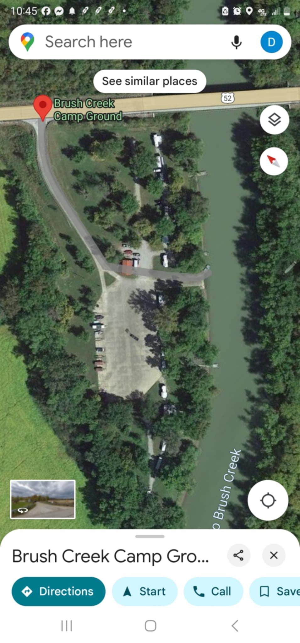
Torrential rain sent water spilling over the dam and spillway at Adams Lake in West Union, flooding part of the Adams County lake complex and putting nearby low-lying areas under renewed watch before the National Weather Service later canceled flood warnings for Ohio Brush Creek.
The surge came as the Ohio River Forecast Center listed Ohio Brush Creek near West Union at 14.3 feet at 9:00 p.m. EDT on May 24, above the 11.0-foot action stage but still below the 16.0-foot flood stage. Forecasts issued that night showed the creek falling through May 25 and continuing to ease into the following days.
At the West Union gauge, flood stage is 16.0 feet, moderate flood stage is 24.0 feet and major flood stage is 29.0 feet. The flood of record there is 31.2 feet, a reminder of how quickly conditions can worsen when heavy rain settles over Adams County.
Adams Lake State Park itself is a small but important part of the county landscape: a 50-acre park centered on a 47-acre lake in Ohio’s Bluegrass region. The Ohio Department of Natural Resources says the lake has adjacent prairie habitat and a nature preserve, and that only hand-powered craft and electric motors are permitted on the water. A small launch ramp near the park entrance provides access.

The flooding also raised concern because Ohio Brush Creek’s flood impacts map warns that low-lying homes and businesses near West Union can begin to flood as the creek rises. That makes the dam and spillway at Adams Lake more than a scenic feature; state dam safety materials say dams and levees are meant to protect human life, health and property, and the program’s work is focused on protecting downstream residents and structures.
Adams Lake has also been identified as a high-priority structure for rehabilitation, underscoring the long-term pressure on aging water-control infrastructure even as crews and forecasters track each storm. For West Union and the surrounding parts of Adams County, the immediate threat receded as creek levels were expected to drop, but the high water showed how closely the lake, the spillway and Ohio Brush Creek remain linked when storms hit hard.
This article was produced by Prism’s automated news system from verified source data, official records, and press releases, then run through automated quality and moderation checks before publishing. The system is built and supervised by the people who set the standards it runs under. Read our full AI policy.
Did this article answer your question?