Freeze watch, winter storm warning hit Albany County near Laramie
A freeze watch could drop Albany County temperatures to 19 degrees overnight, with slick bridges near Laramie and late-May gardens at risk by Wednesday morning.

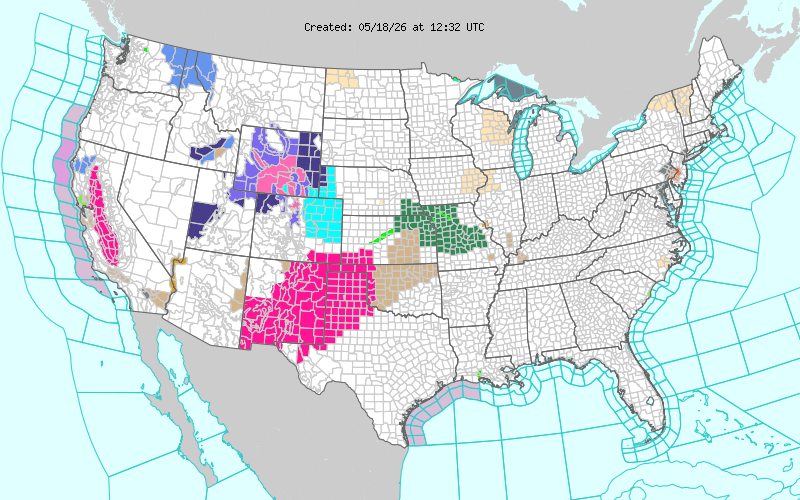
Cold air was the immediate concern for Albany County residents near Laramie as the National Weather Service posted a freeze watch for the South Laramie Range and the Upper North Platte River Basin, with temperatures as low as 19 degrees possible from 9 p.m. Tuesday through 10 a.m. Wednesday. The coldest stretch is expected overnight into early Wednesday morning, when tender plants, outdoor plumbing and any livestock water setups in exposed areas could be vulnerable.
The warning comes after a separate winter storm alert earlier in the week added up to a rough stretch for travel around the mountains and valleys west of town. The National Weather Service said the Snowy Range and North Laramie Range were under a winter storm warning from 6 p.m. Sunday through 6 p.m. Monday, with 10 to 20 inches of snow, wind gusts of 30 to 40 mph and blowing or drifting snow above 8,500 feet. In the South Laramie Range Foothills and the Laramie Valley, a winter weather advisory called for 2 to 6 inches and gusts as high as 35 mph, with the worst effects aimed at the Monday morning and evening commutes.
Roads, especially bridges and overpasses, were expected to turn slick and hazardous, which made the early and late commute windows the biggest concern for drivers in and around Laramie. Travelers were urged to check 511 for the latest road conditions and delay travel if possible, a reminder that even a short drive can change quickly when snow and freezing temperatures hit the same corridor.
The weather pattern is unusual but not unheard of. The Weather Service’s spring frost and freeze statistics, based on records from 1951 to 2025, show that Cheyenne’s 10th percentile last freeze date is April 30, the median is May 13 and the 90th percentile is May 25. That puts this week’s cold snap well within the range of what southeastern Wyoming can still see in mid-to-late May.
NWS Cheyenne, which serves southeast Wyoming and the western Nebraska Panhandle, said the South Laramie Range forecast for Wednesday called for mostly sunny skies, isolated snow showers and highs in the upper 30s. For Albany County, that means the main threat is not just the snow that has already fallen in the region, but the freeze lingering into the morning hours when school traffic, ranch work and highway travel are all starting up again.
Know something we missed? Have a correction or additional information?
Submit a Tip