High Wind Watch Issued for Albany County Amid Fire Risk Concerns
Gusts up to 75 mph could hit the I-80 Summit and Snowy Range foothills by Thursday, with dry, fire-primed conditions making Albany County's wind watch especially dangerous.
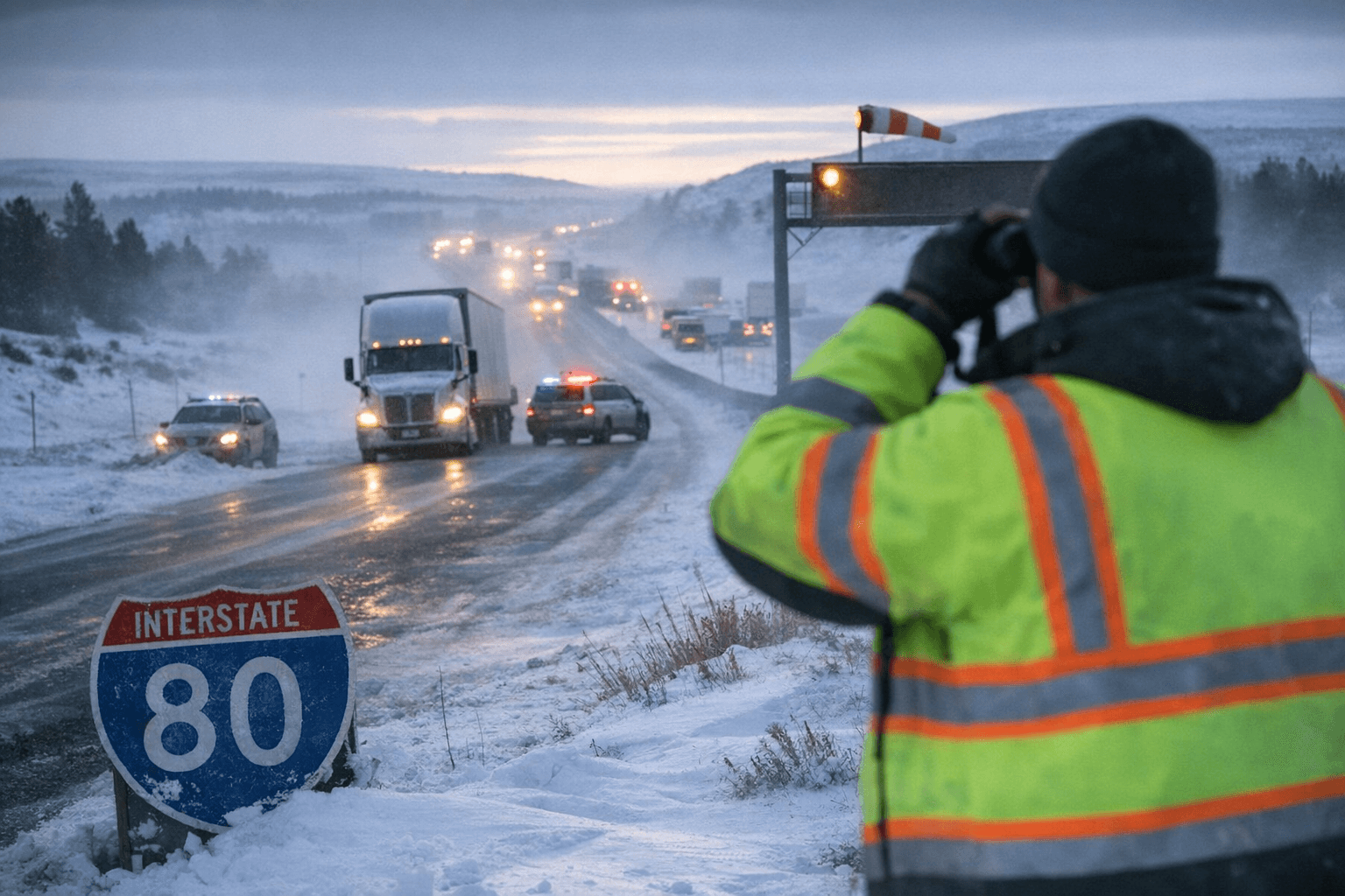
The stretch of I-80 climbing toward the Summit between Laramie and Cheyenne is squarely in the crosshairs of a High Wind Watch the National Weather Service in Cheyenne issued Tuesday, covering the South Laramie Range and Foothills, Snowy Range Foothills, and surrounding zones, effective Thursday morning through Friday evening.
West winds of 35 to 45 mph are forecast, with gusts up to 75 mph possible across the affected corridors. A watch means conditions are possible rather than certain, but the 75 mph ceiling would push well past the 58 mph gust threshold that triggers an upgrade to a High Wind Warning. Residents should treat Wednesday night as the critical monitoring window, since the Laramie Range typically produces its most volatile wind activity during overnight hours when pressure gradients sharpen.
The watch lands at a particularly dangerous moment for Albany County. Record warmth and prolonged dry conditions through March have left vegetation at elevated fire risk heading into April. NWS forecasters note directly that the strong winds will generate fire weather concerns and create serious control problems if any ignitions occur. Humidity levels have been dropping into the single digits during afternoon hours across southeast Wyoming in recent weeks.
Truckers are the group most immediately at risk on I-80. Crosswinds running perpendicular to the highway are the primary driver of high-profile vehicle rollovers, and the Summit corridor is one of the most wind-exposed stretches in the region. Camper tow vehicles, empty flatbeds, and box trailers face the greatest instability when sustained winds approach 40 mph. The same open terrain that channels those crosswinds also generates blowing dust, which can drop visibility with almost no warning.
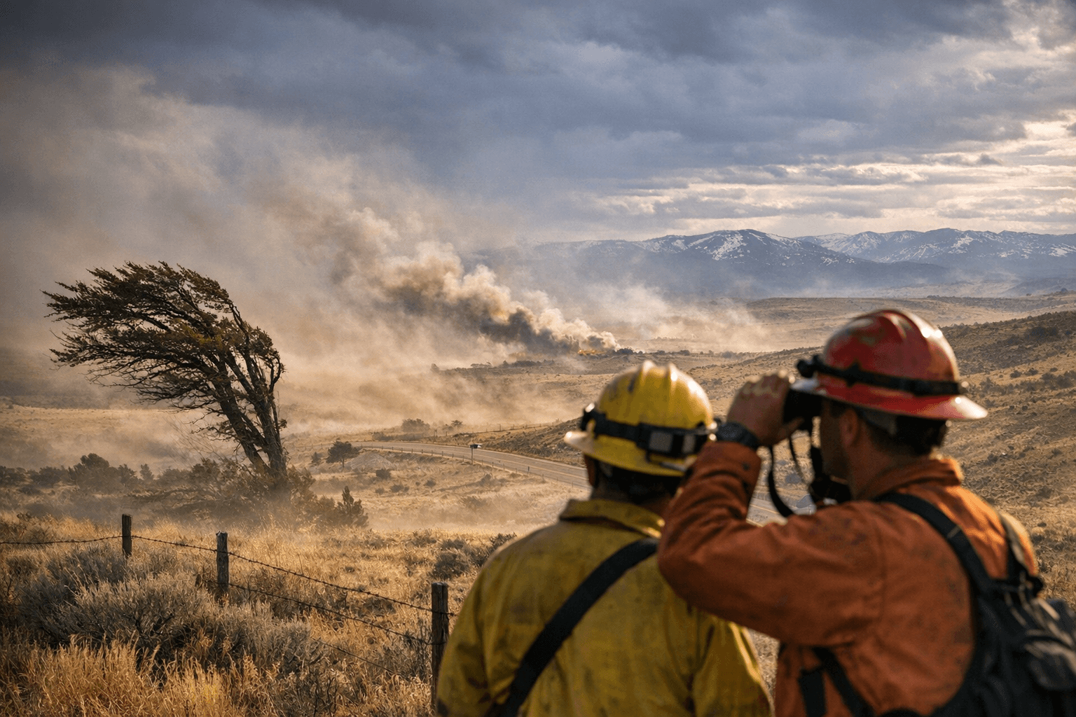
Ranchers in the Albany County foothills and along the Snowy Range approaches should move loose equipment and materials into sheltered locations before Thursday morning. Anyone planning outdoor recreation at higher elevations, including in the Snowy Range foothills, should account for falling trees, flying debris, and the rapid fire spread the dry fuel load currently allows.
If the watch is upgraded to a warning before Thursday, conditions will be considered expected rather than possible, and WYDOT vehicle restrictions or closures on I-80 would become likely. The NWS Cheyenne office is updating forecasts and active alerts at weather.gov/cys.
Sources:
Know something we missed? Have a correction or additional information?
Submit a Tip