Laramie River Greenbelt offers six miles of trails and river access
The Greenbelt is Laramie's daily-use river corridor, with six miles of paved trail, fishing access and a restoration history that still shapes the city.

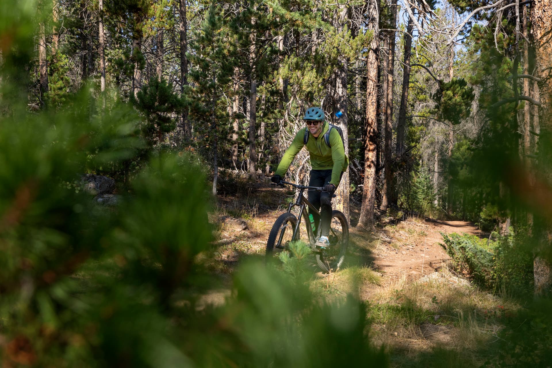
The Laramie River Greenbelt runs six paved miles along the river, but its value shows up in daily use: a north-south corridor for walking, jogging, fishing, dog walking and moving between neighborhoods. The City of Laramie places Laramie River Greenbelt Park at 5.75 miles between Garfield and Spruce streets, while the broader trail system stretches from Curtis Street in the north to near the Albany County Fairgrounds in the south.
A river corridor through the city
The Greenbelt is not a single scenic segment cut off from town. City parks materials place it within a larger network of trails, walking and biking paths, playgrounds and outdoor amenities that make up Laramie’s everyday recreation system. That matters because the route gives residents a continuous paved path along the Laramie River, linking parts of the city that would otherwise be separated by blocks, yards and the river itself.
The facility page for Laramie River Greenbelt Park lists a walking and jogging path, river fishing access, a dog run area, a playground, benches, picnic tables and restrooms. The city also identifies the Laramie River Greenbelt Trailhead as part of the park, reinforcing that this is a functional place to start, stop and spend time, not just a pass-through route.
What the Greenbelt is built for
The details along the route tell you how people actually use it. Walkers and joggers have a paved surface that runs beside the river, anglers have designated access, families have a playground and picnic tables, and dog owners have a run area. Benches and restrooms make the corridor usable for longer visits, which is one reason the Greenbelt serves as both a recreation space and a piece of neighborhood infrastructure.
The city brochure says fishing is allowed along the Greenbelt Trail, and it also notes that leash law is enforced. Those rules matter because the corridor has to work for multiple users at once: people on foot, people fishing, children at play and dogs sharing a narrow riverfront space. A proper fishing license is required, so anyone planning to cast a line should be prepared before heading out.
A restoration project that changed the river edge
The Greenbelt’s most important story is not just that it offers access, but that it was actively reshaped. Over the summers of 2009 through 2011, the Laramie Rivers Conservation District led a river restoration project along the Greenbelt. The work used wood, rocks, vegetation and large root wads to stabilize banks, reduce erosion and create fish habitat.
The corridor is fed mostly by snowmelt from the Medicine Bow Mountains, and the city brochure describes it as part of a river and wetland ecosystem. That gives the Greenbelt a different kind of significance from a simple trail system. It is a working riparian corridor where recreation and habitat protection overlap, and where the river itself is part of the city’s managed landscape.
The brochure names the wildlife that uses the corridor, including deer, beaver, chorus frogs, herons, red-winged blackbirds, hawks, brown trout, minnows, dragonflies and butterflies. Those species show how much life the corridor supports along a stretch of urban riverbank that many people experience first as a place to walk or fish.
Cleanup, stewardship and city priorities
The Greenbelt also reflects a broader land-use and cleanup effort. A city record tied to the Cedar Street area says the Laramie Rivers Conservation District acquired property there in 2011 with the intent of cleaning up the site, returning it to productive use, limiting the potential for ongoing contamination from dumping and eliminating hazardous materials on site. That turns the Greenbelt story from a recreation piece into a land-management story, with clear stakes for river health and adjacent property.
The City of Laramie now offers Adopt a Greenbelt and Sponsor the Greenbelt agreements, giving individuals, families and groups a direct way to help maintain the corridor. The city’s Natural Resources Department says it oversees water quantity and quality, land use, emissions and carbon reduction, city-owned agricultural properties and local ecosystem conservation, which helps explain why a riverfront trail sits squarely within municipal responsibility.
Taken together, those pieces make the Greenbelt one of Laramie’s most useful public assets. It is a six-mile route for getting outside, a habitat corridor shaped by restoration work, and a managed piece of city infrastructure that connects daily recreation with the long-term care of the river running through Albany County.
This article was produced by Prism’s automated news system from verified source data, official records, and press releases, then run through automated quality and moderation checks before publishing. The system is built and supervised by the people who set the standards it runs under. Read our full AI policy.
Did this article answer your question?