Snowy Range Byway, Greenbelt Trails Offer Easy Spring Escapes Near Laramie
WY-130's high pass is closed until Memorial Day, but the Greenbelt and lower byway are open now — here's exactly where to go this weekend without getting stuck in snow or mud.

The Snowy Range Scenic Byway is currently split in two: drive west from Laramie on Wyoming Highway 130 and you can reach Centennial and the lower-elevation forest without trouble, but the 12-mile high-pass section from Green Rock Trailhead to Ryan Park remains closed to all traffic until snowplows clear it, traditionally around Memorial Day weekend. That means anyone heading out this first full week of April has a sharp, practical choice to make: stay low or stay in town. Both options are worth your Saturday morning.
What's Open Right Now
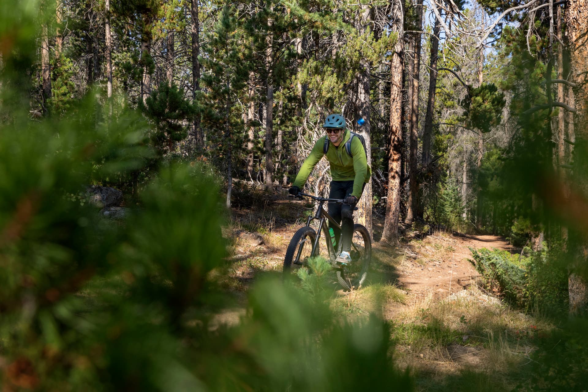
The Laramie River Greenbelt is Laramie's most accessible spring trail and one of the most underused by longtime residents who assume it's just a paved loop for dog walkers. It is that, but it's also a genuine wildlife corridor. The trail runs from West Curtis Street in the north and follows the Laramie River's bends southward to a 1.5-mile loop just south of I-80, covering roughly 7.1 miles total. The surface is paved or packed and flat throughout, making it suitable for bikes and strollers. Park at Optimist Park on West Garfield Street for the most direct access to the main stretch, or use the Spring Creek Natural Area trailhead to connect to interpretive signage and picnic areas deeper into the greenbelt. Benches, at least one shade shelter with a water fountain, and interpretive markers along the route explaining the marsh and rail history make it a usable half-day outing.
The critical spring caveat: snowmelt swells the Laramie River noticeably in April. After a warm spell or a rain event, stay well back from the banks. Despite flooding on the river in some seasons, the paved trail itself remains passable, and spring flooding actually draws more bird species into the marsh habitat, including migrants passing through the region. Dogs are welcome and leashes are required throughout the greenbelt corridor.
The lower section of WY-130 west toward Centennial is also drivable today. The 30-to-40-minute drive from Laramie into the Medicine Bow foothills is itself scenic, with valley meadows greening up ahead of the high country. Centennial sits just off the highway and has food options including Bear Bottom Bar and Grill if you want to grab a meal before heading up toward the forest edge. The Snowy Range Ski Area anchors recreation near the base of the range and has stayed open into April in previous seasons, though conditions vary year to year. Check the ski area directly before making that drive the primary goal.
What's Still Snowed In
The Snowy Range Scenic Byway is the second-highest mountain pass in Wyoming, and that elevation is not abstract in early April. The high section sits under significant snowpack through late spring, and even after snowplows finish their work around Memorial Day, drifting and winter weather at higher elevations can persist through June. Higher-elevation trailheads along the byway, including those that access alpine lakes and above-treeline terrain, are snow-packed now and for weeks to come. If you push beyond the open pavement toward higher ground, microspikes and gaiters are not optional gear; they're the difference between a good hike and a dangerous slip on a snow-covered slope where the ground has softened underneath.
Cell coverage disappears quickly outside the Laramie valley. Before leaving the trailhead parking lot, download offline map tiles for the area you plan to explore. The Medicine Bow National Forest maintains updated information on seasonal road and trail restrictions, and trailhead signage is your last reliable data point once you're in the forest.
Three Named Itineraries from Laramie
Greenbelt from Optimist Park: Drive time: zero, park on West Garfield Street. Walk north or south from Optimist Park along the paved river trail. A round trip to the south loop and back covers roughly four miles. Dogs on leash, flat surface, no traction gear required. Ideal for a midweek morning or any day you want a one-hour outing with wildlife viewing.
Lower WY-130 to Centennial: Drive time: 30 to 40 minutes west on WY-130. Road is paved and open. Stop in Centennial for food. Lower-elevation trailheads in the Medicine Bow National Forest are accessible from here, though check forest service alerts for mud and ice on access roads before pulling off the highway. Bring layered clothing: morning temperatures at lower elevation can still drop hard, and midday sun on a calm spring day will warm you faster than expected.
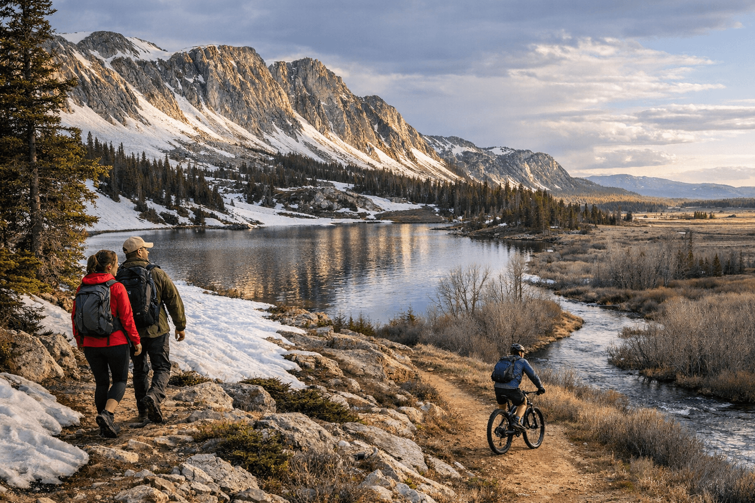
Green Rock Trailhead (road's end for now): Drive west on WY-130 until you reach the closure point near Green Rock Trailhead. This is as far as the plows have cleared. Park here for a look at the snowfield above the treeline, a short walk on still-accessible trail segments, and a view of the high peaks still fully white. This is one of the best photography stops of the spring season precisely because the valley is green while the Snowy Range remains blanketed. Turn around before the closure signs; roads beyond are not maintained and can be icy, muddy, or both.
Check Before You Go
Spring conditions in Albany County change within hours. Build this quick check into your routine before any outing:
- WY-130 road status: wyoroad.info or call Wyoming's 511 service for live conditions including closures and ice reports.
- Medicine Bow National Forest alerts: The forest service posts seasonal road and trail restrictions, including closures protecting nesting habitat and muddy access roads. Check before driving forest roads off the main highway.
- Snowy Range Ski Area: Confirm whether the base area and access road are active for the day.
- Visit Laramie event calendar: visitlaramie.org lists current trail conditions and any organized events that might affect parking or trail access on the Greenbelt.
- Offline maps: Download before leaving cell range. Google Maps, Gaia GPS, and AllTrails all support offline tiles for the Medicine Bow area.
Spring Risks Worth Taking Seriously
Wind is the most underestimated hazard on the lower byway and in the Laramie valley. Sudden gusts hit without the warning signs you'd expect from a darkening sky, and at WY-130's exposed pullouts and ridgeline overlooks, that wind is cold. Runoff crossings on informal trails near the Greenbelt and forest roads can be ankle-deep in April where they were dry in March. On warm, dry, sunny days in the foothills, fire risk rises faster than most visitors expect given the surrounding snow; avoid open fires outside established fire rings and heed any county or forest service fire restrictions posted at trailheads.
The window between "still closed" and "fully open" is one of the most dramatic and least crowded periods to be on Wyoming 130. Most of the holiday-weekend crowds are weeks away. Go now, go low, and mark your calendar for the Memorial Day weekend opening of the full pass.
This article was produced by Prism’s automated news system from verified source data, official records, and press releases, then run through automated quality and moderation checks before publishing. The system is built and supervised by the people who set the standards it runs under. Read our full AI policy.
Did this article answer your question?