Snowy Range Scenic Byway offers timeless alpine views in Albany County
Climb WYO 130 from Laramie to 10,847 feet for alpine lakes, accessible trail stops, and a route that keeps visitor spending flowing through Albany County gateways.
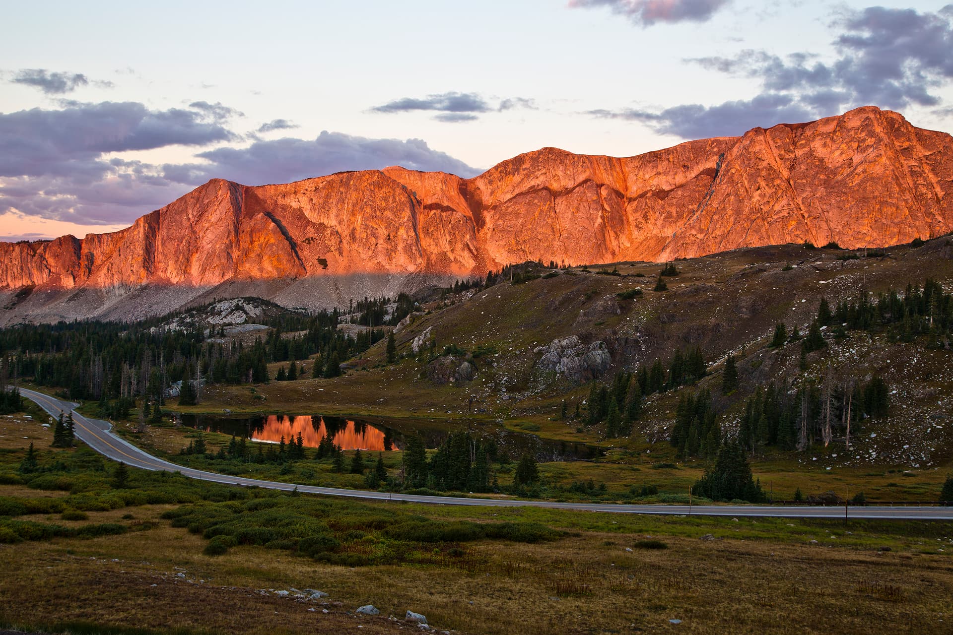
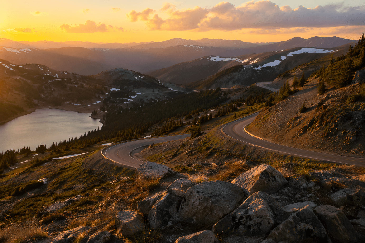
The Snowy Range Scenic Byway turns 29 miles of Wyoming Highway 130 into a high-country climb from sagebrush to alpine country, and the smartest trips start with a full tank and a weather check. From Laramie or Walcott Junction, the road rises from about 8,000 feet on the valley floor to 10,847 feet, so the payoff comes from timing the drive around the season and stopping where the mountain actually opens up.
Timing the drive
The byway is usually open from Memorial Day through October, which gives drivers a narrow window to see the range without snow closing the upper reaches. When winter settles in early, the high country shuts down fast: Wyoming Department of Transportation closed the 12-mile upper section of WYO 130 on November 26, 2025, from mile markers 36 to 48, stretching from the Green Rock trailhead to just above Ryan Park.
The route is not a low-elevation overlook road. The climb is steep enough that weather at the top can be very different from Laramie, and the road moves from sagebrush and lodgepole pine into alpine habitat. Early morning and late evening are also the times to slow down for wildlife on or near the road, especially near the higher country around Medicine Bow Peak.
For an Albany County trip, that seasonality shapes where the money goes. Travelers who are heading up from Interstate 80 tend to buy fuel, food, and last-minute supplies in Laramie before the climb, then spread out into smaller stops along the way rather than relying on a single destination at the top.
Where to stop, not just drive through
Mirror Lake Picnic & Fishing Site is the most concrete stop for a short mountain break. It has 15 picnic tables, lakeside access for fishing, and a short paved walking trail that leads to the West Lake Marie Trailhead. That makes it one of the easiest places to turn a pass-through drive into a half-day outing without committing to a full hike.
West Lake Marie Trailhead adds a useful accessibility angle. The paved Lake Marie Trail is accessible and connects back to Mirror Lake, while the trailhead also provides access to Medicine Bow Peak Trail, Tipple Trail, Lakes Trail, and Lake Marie Falls. Vault toilets are available there once the road climbs into the alpine zone and services get sparse.
Other stops help fill out a longer day in the range. Barber Lake Picnic Site and Brooklyn Lake Campground give travelers places to pause, picnic, or stay overnight, while the west side trail systems around the range are where the hiking really starts to take over.
What the landscape adds to the drive
The draw here is not just altitude. The Snowy Range route is one of the first scenic byways designated on National Forests, and the scenery changes fast enough to make that history feel practical rather than ceremonial. Below, the road runs through sagebrush and lodgepole pine; above, it opens to rugged peaks, clear lakes, and native wildflowers.
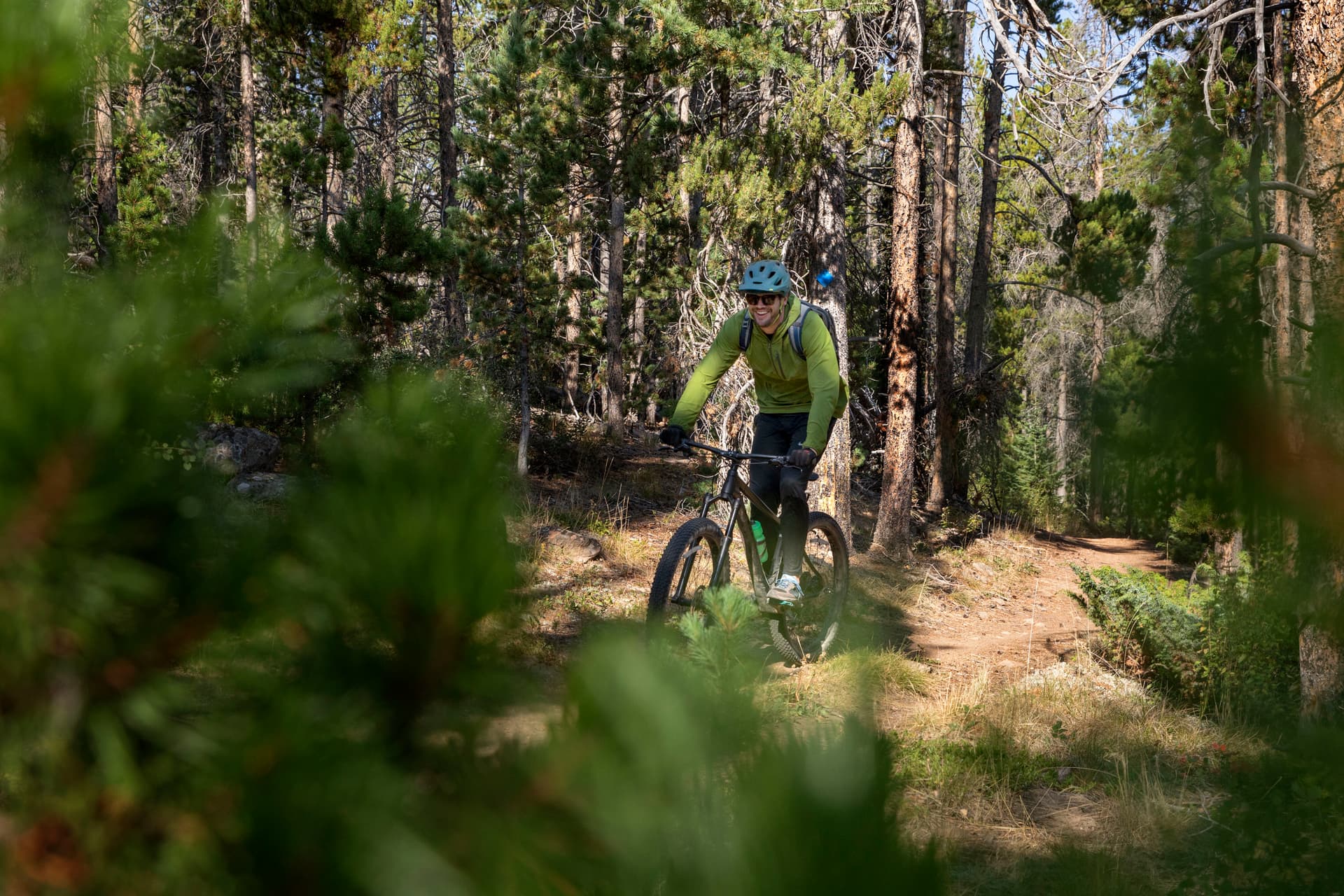
That shift also explains why the corridor supports so many kinds of recreation. The Snowy Range area is used year-round for hiking, fishing, hunting, snowmobiling, skiing, off-highway vehicle riding, camping, and biking.
Wildlife is part of the appeal, but it is also part of the driving instructions. Near Medicine Bow Peak, travelers can see Rocky Mountain bighorn sheep, yellow-bellied marmots, pikas, blue grouse, and native cutthroat trout in nearby waters.
A road with working history and local reach
The road traces to a wagon route built in the 1870s, widened in the 1920s with horse-drawn equipment, and paved in the 1930s. It became the nation’s second Scenic Byway in 1988, and the finished route picked up the nickname Great Skyroad.
The route passes Centennial, a historic mining town, and crosses both Albany and Carbon counties. Ryan Park Campground is near a World War II prisoner-of-war camp.
The road still serves working land as much as weekend traffic. The area supports timber harvesting, livestock forage, and watershed use. That mix of public access, historic infrastructure, and seasonal travel feeds Albany County’s visitor economy, with Laramie as the main gateway and Centennial as the smaller mountain stop that catches the spillover on the way up.
How to make the most of the byway
Start in Laramie with fuel and supplies, climb early enough to leave time for Mirror Lake or West Lake Marie, and keep an eye on the forecast if the season is edging toward October or the first big snow.
If the goal is to spend money where the route actually supports local business, the pattern is straightforward: gateway purchases in Laramie, stopover spending around Centennial, and campground or picnic-site use higher in the range.
This article was produced by Prism’s automated news system from verified source data, official records, and press releases, then run through automated quality and moderation checks before publishing. The system is built and supervised by the people who set the standards it runs under. Read our full AI policy.
Did this article answer your question?