Tornado warning issued for Albany County as severe storms hit Wyoming
A tornado warning near Orin sent a fast-moving storm north at 25 mph, while Albany County stayed under severe thunderstorm warnings and watched the sky for hail and wind.

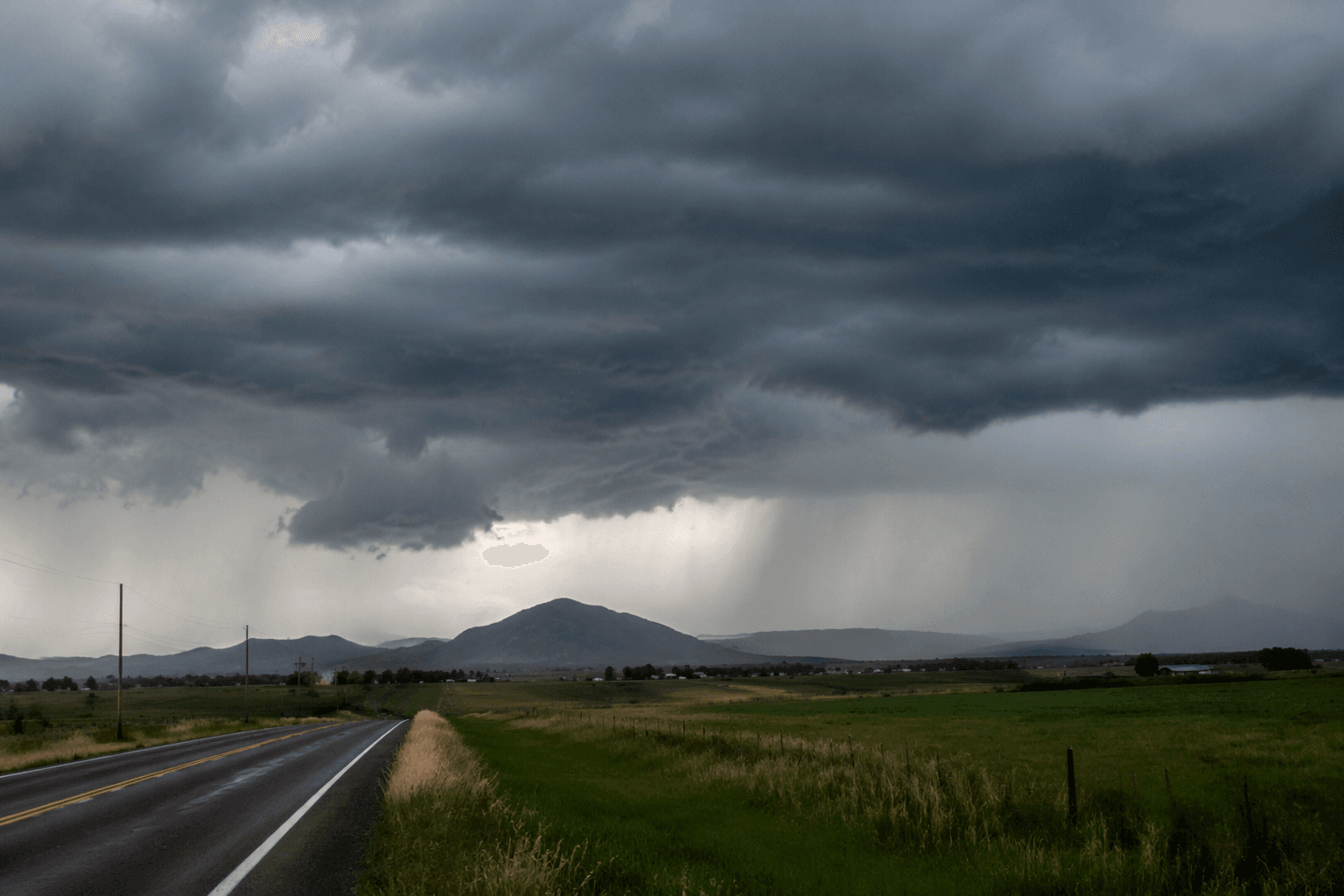
A tornado warning lit up southeast Wyoming at 3:47 p.m. Tuesday as a severe thunderstorm capable of producing a tornado moved near Orin, about 15 miles east of Douglas, and tracked north at 25 mph. The National Weather Service in Cheyenne said the storm carried a tornado threat and golf ball-size hail, with radar-indicated rotation, and warned that heavy rain could hide the tornado from view. Residents in the warning area, including rural stretches around Shawnee and Lost Springs, were told to take cover immediately.
Albany County was not at the center of that tornado warning, but it was part of the same fast-changing weather system that put much of southeast Wyoming on alert. Severe thunderstorm warnings covered Albany County until 3:45 p.m. MDT Tuesday, with damaging winds and hail the main threats. The Cheyenne forecast office was still tracking storms hours later, issuing a 5:44 p.m. update that listed an active severe thunderstorm warning, flash flood warning, severe weather statement, severe thunderstorm watch and special weather statement as storms moved across east central Wyoming and more scattered activity pushed through the southern Laramie Range.
The broader forecast for Wednesday and Wednesday night kept the focus on hail and wind, especially across the Nebraska Panhandle and adjacent areas of far southeast Wyoming. The National Weather Service said scattered afternoon thunderstorms remained possible through midweek, a reminder that one warning can quickly become several as storms redevelop and shift across the High Plains.
For Albany County, the lesson from Tuesday’s warning was not just about one storm line east of Douglas. It was about timing and response. The Cheyenne forecast office, which serves southeast Wyoming and the western Nebraska Panhandle, issues tornado and severe thunderstorm warnings around the clock, every day of the year. That 24-hour operation matters in a county where weather can turn violent fast and where warning time may be measured in minutes, not hours.
The stakes are not abstract here. The NWS Cheyenne event summaries include the June 6, 2018 Albany County EF3 tornado, one of the strongest tornadoes on the local record. That history is why warnings like Tuesday’s demand immediate action across Albany County, even when the most dangerous cell is moving through a neighboring county. When radar shows rotation and a storm is racing north under a heavy rain core, the safest response is still the same: get inside, get low, and take the warning seriously before the next siren or alert arrives.
This article was produced by Prism’s automated news system from verified source data, official records, and press releases, then run through automated quality and moderation checks before publishing. The system is built and supervised by the people who set the standards it runs under. Read our full AI policy.
Know something we missed? Have a correction or additional information?
Submit a Tip