Allendale’s original town site traced to 1810 land grant marker
A marker at 1296 S Main St ties today’s county seat to an 1810 Allen land grant, showing why Old Allendale still anchors county identity.
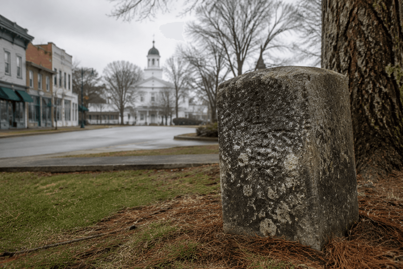
The original Town of Allendale still has a fixed address: the historical marker in front of the Allendale County Administration Building at 1296 S Main St. It points back to an 1810 land grant of 1,000 acres to Benjamin and G. Washington Allen, a paper trail that helps explain how the county seat began before the town shifted to a different crossroads.
What the marker tells you
The marker is not just a roadside plaque. It identifies the first footprint of a place that would become the county’s civic center, and it ties that footprint to a specific family, date, and location. The Thoroughbred Country attraction page places the marker in front of the Allendale County Administration Building, while the original site itself sits southwest of today’s Allendale at the intersection of roads 107 and 47.
That physical clue matters because local history here is built around movement. The old town site and the present town center are not the same place, and the difference shows how roads, county government, and settlement patterns shifted over time. In one frame, the marker preserves the earliest known layout of the community; in the other, the present-day crossroads at U.S. 278 and U.S. 301 marks where Allendale’s daily life now concentrates.
Why the Allen name matters
The town’s name carries the Allen family connection. County history sources say Allendale was named after Paul H. Allen, identified as the area’s first postmaster. Another marker transcription shortens that to Paul Allen and says, “Original site of Allendale, named for its first postmaster, Paul Allen, in 1849.”
Those details connect the town’s identity to the people who organized its earliest civic life. The Allen name appears in both the land grant and the town name, which gives the marker a broader meaning than a simple date stamp. It links land ownership, postal service, and town formation in a single local lineage.
From Old Allendale to the present town center
The original settlement did not stay fixed. A marker transcription at Old Allendale says, “Town moved to present site by 1873.” That move helps explain why Allendale’s civic geography looks the way it does now, with the present town center at U.S. 278 and U.S. 301 rather than at roads 107 and 47.
The county’s own history adds another important layer: Allendale County was formed in 1919 from Barnwell and Hampton counties, making it the youngest county in South Carolina. That makes the county seat’s location especially significant. In a young county, the town center is not just a commercial district; it is part of the story of how the county formed its identity, chose its administrative core, and organized itself around the roads people use most.
A site shaped by war, roads, and administration
Old Allendale also carries a Civil War-era reference that gives the marker more than one historical dimension. The marker transcription says, “Sherman’s troops under Gen. Kilpatrick camped here.” That places the site within a larger military landscape and shows that the old town location was not isolated from the major movements that passed through South Carolina.
The modern marker in front of the Allendale County Administration Building adds another kind of significance. It sits beside the seat of county government, which makes the original town site part of the everyday administrative landscape rather than a distant relic. The contrast is striking: the first settlement footprint lies southwest of town at roads 107 and 47, while today’s governmental center sits on South Main Street in the middle of the county seat.
Why the spot still matters now
Old Allendale matters because it makes the county’s development visible in one place. The 1810 land grant, the postal name, the move by 1873, and the later county formation in 1919 all show how the community changed as transportation and governance changed. That history is still useful for residents, family researchers, and anyone trying to understand why the county seat sits where it does now.
The site also has practical heritage value. Roadside markers are easy to pass without noticing, but this one gives visitors a direct route into the county’s early story. It is a compact stop for local genealogy, a short history lesson for travelers, and a marker that connects the older settlement pattern to the present-day civic identity of Allendale.
That preservation value sits inside a much larger statewide system. The South Carolina Department of Archives and History says the state has more than 1,400 historical markers, and new markers are added twice a year. In that context, the Allendale marker is not an isolated object. It is part of a statewide effort to keep local places legible, especially in counties where the original town site and the modern seat are no longer the same point on the map.
For Allendale, that distinction is the whole story. The marker at 1296 S Main St does more than identify a place from the past. It shows how a land grant, a postmaster, a town move, and a later county formation still shape where the county sees itself today.
This article was produced by Prism’s automated news system from verified source data, official records, and press releases, then run through automated quality and moderation checks before publishing. The system is built and supervised by the people who set the standards it runs under. Read our full AI policy.
Did this article answer your question?