Apache-Sitgreaves forest maps help residents, visitors navigate trails safely
Springerville’s forest maps do more than point the way. They help Apache County families, hunters, hikers and riders plan safer trips across 2 million acres of public land.

Maps that turn public land into usable access
Apache County’s connection to the Apache-Sitgreaves National Forests runs through information as much as scenery. The forest’s trail guides, visitor maps, GIS layers and Avenza options make it easier to reach the land, read the roads and understand where recreation is actually allowed. In a county where access to public land shapes weekend plans, tourism, and even seasonal travel, that kind of guidance is not a luxury. It is basic infrastructure.
Springerville sits at the center of that system. The Apache-Sitgreaves Supervisor’s Office is in town at 30 S. Chiricahua Dr., and the Springerville Ranger District trail guide gives residents and visitors a practical way to navigate trails, trailheads and road access across the White Mountains. For families, hunters, hikers, equestrian riders and off-road users, the maps help answer the questions that matter before anyone turns a key in the ignition: where does this road go, what kind of trail is this, and is it open right now?
Why Springerville matters as Apache County’s front door
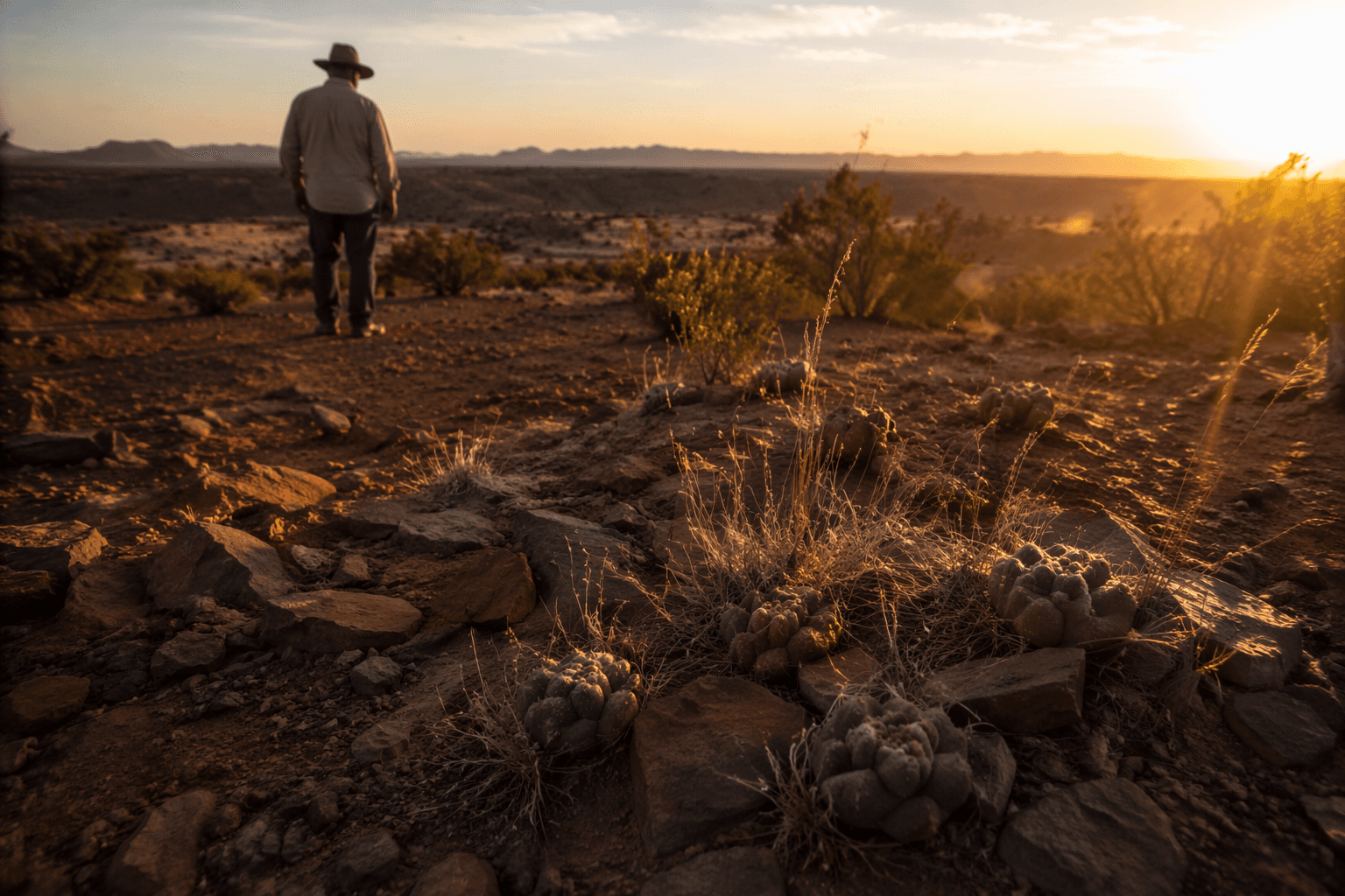
Springerville is more than a place to pass through on the way to the woods. It functions as Apache County’s front door to public land access, especially for people heading into the Springerville Ranger District or toward the Big Lake Recreation Area. That matters because the Apache-Sitgreaves National Forests cover about 2 million acres, include about 450 miles of rivers and streams, and contain more than 30 lakes and reservoirs and more than 1,000 miles of rivers and perennial streams. With that much land and water spread across so many miles, no one is navigating by instinct alone.
The county’s own map and GIS tools reinforce that reality. Residents rely on map-based navigation for roads, parcels and public access planning, while the forest’s interactive maps and GIS data help users see the bigger picture before they leave home. In practical terms, Springerville is where forest knowledge becomes a usable trip plan.
What the Springerville trail guide covers
The Springerville Ranger District trail guide is built for a wide range of recreation. It covers hiking, biking, cross-country skiing and equestrian trails, and it also supports people trying to follow forest roads, wilderness boundaries and wild and scenic rivers. The guide is especially useful because the district is not flat, simple or uniform. It stretches from about 3,500 feet in elevation to nearly 11,000 feet at the top of Escudilla Mountain, Arizona’s third-highest peak.
That elevation range changes what a trip looks like. Most trailheads sit above 6,000 feet, which means snow, mud and spring runoff can affect access long after lower country has dried out. Some higher elevation roads may not be passable until May depending on conditions, so a map is also a warning system. It can keep a family from taking a vehicle too far up a road that still looks winter-bound, or help a rider and a hiker choose a route that matches the day’s weather and trail conditions.
Safety, seasonality and the realities of forest travel
The Forest Service keeps the recreation message simple: the forest remains open to public use, but trails may have restrictions or temporary limitations depending on current conditions. In Apache County, that warning carries real weight. Weather shifts quickly, fire restrictions change, and roads in the high country can become impassable after snow or heavy rain. The trail and map system helps users avoid guesswork, which is one of the easiest ways a routine outing turns into a stranded or unsafe one.
That safety role is especially important around remote recreation areas and long forest roads. A map that shows the difference between a maintained trail, a wilderness segment, a road and a dispersed camping area can prevent confusion before it starts. For visitors unfamiliar with the county, the value is obvious. For locals who travel the same corridors repeatedly, updated maps still matter because conditions in the forest do not stay the same from one week to the next.
A trail network built with local partnership
The Springerville trail guide also shows that this is not just a federal system dropped onto the landscape. Some of the trails were planned and built in partnership with Apache County and funded through Arizona Department of Transportation ISTEA money and Arizona State Parks Heritage Trail funds. That history matters because it shows local investment in recreation access, not simply federal oversight.
The result is a trail network that supports more than weekend outings. It helps people reach hunting areas, scenic overlooks and backcountry routes, while also supporting tourism-dependent businesses that benefit when visitors can find their way around the White Mountains with confidence. Easier planning means fewer missed turns, fewer uncertain trips and more time spent where people intended to go.
Fire history still shapes the trail experience
The Wallow Fire in June 2011 left a lasting mark on parts of the Springerville district, including trails and dispersed camping areas. Some wilderness trail segments may still be unassessed or not fully maintained, with hazards such as falling trees or routes that are hard to follow. That reality is one reason the guide matters so much. A paper map or an outdated memory cannot tell a traveler where fire damage still affects travel or where a route may be harder to read on the ground.
The forest’s designated wilderness areas, including Escudilla, also require a higher level of caution. In wilderness, trail maintenance and signage can be more limited, so a user entering those areas needs to understand the terrain before setting out. The guide does not remove risk, but it helps people recognize it sooner.
The Alpine side expands the picture
The Alpine Ranger District shows how broad the forest’s recreation base really is. Its trail guide lists 10 hiking trails, 6 mountain biking trails and 2 winter recreation areas, giving the district a clear role in year-round outdoor use. The Alpine Ranger District office is at 42634 Hwy. 180/191 in Alpine, another public access point for people looking for information before they head out.
Together, the Springerville and Alpine guides turn Apache-Sitgreaves into a region-wide travel aid, not just a list of trails. They help families choose a day hike, help hunters reach legal access points, help riders and bikers match their route to the season, and help visitors understand the difference between a scenic drive and a road that can be slow, rough or closed.
A practical service with countywide value
Apache County’s outdoor identity depends on more than beautiful views. It depends on knowing how to get there safely, how to stay within the rules and how to read land that changes with elevation, weather and wildfire history. That is why the forest maps matter so much.
In Springerville and Alpine, the US Forest Service is not just describing public land. It is giving Apache County a working system for reaching it. In a county built around distance, elevation and dispersed recreation, that kind of access helps protect safety, supports local business and keeps the region’s public lands usable for the people who live nearest to them.
This article was produced by Prism’s automated news system from verified source data, official records, and press releases, then run through automated quality and moderation checks before publishing. The system is built and supervised by the people who set the standards it runs under. Read our full AI policy.
Know something we missed? Have a correction or additional information?
Submit a Tip