Apache-Sitgreaves forests move to Stage 2 fire restrictions
Stage 2 restrictions took effect across Apache-Sitgreaves forests at 6 a.m. June 25 and are set to run through Sept. 30 unless lifted sooner.

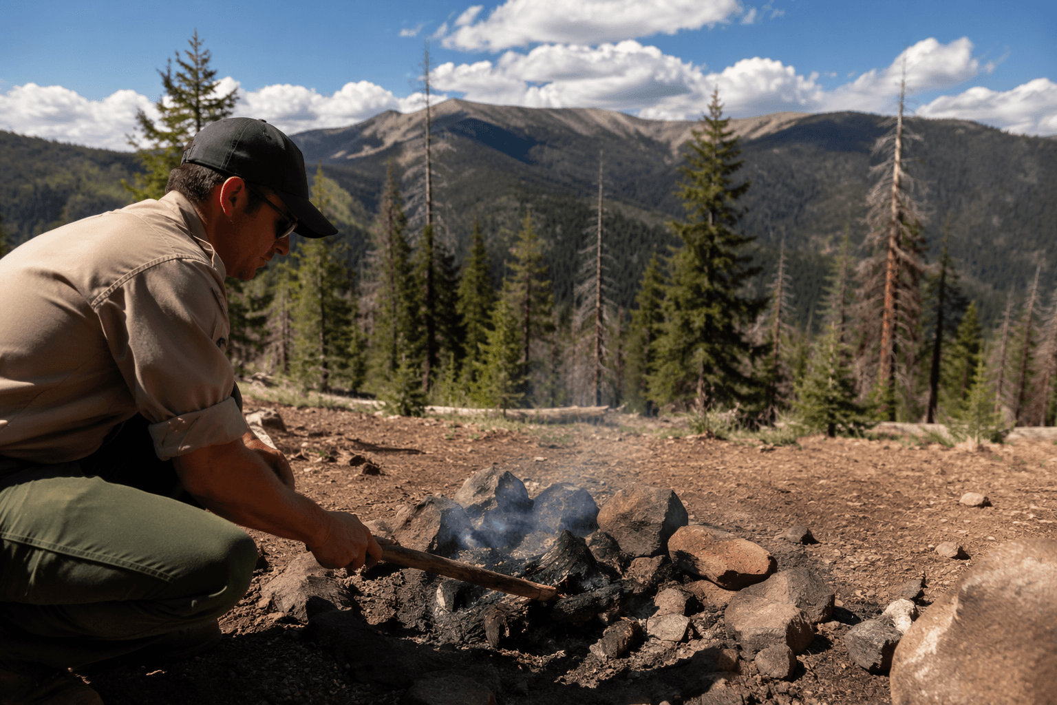
The Apache-Sitgreaves National Forests moved to Stage 2 fire restrictions at 6 a.m. June 25, tightening use across federal lands, roads and trails from the White Mountains to the forest edges near Springerville, Eagar and Alpine. The order runs through Sept. 30 unless rescinded sooner, signaling a longer stretch of restricted outdoor activity as fire danger climbs in Apache County.
Forest officials said the order is meant to reduce human-caused wildfire risk during periods of high fire danger and severe fire weather conditions. That makes the practical stakes immediate for residents, ranchers, workers and holiday visitors who rely on the forests for travel, recreation and seasonal work. The restrictions now cover the full Apache-Sitgreaves boundary, not just a few popular sites, so anyone headed into the backcountry or onto public roads and trails inside the forest boundary is operating under a stricter fire regime.
The White Mountain Fire Restrictions Coordinating Group met to assess current forest and community conditions before deciding Stage 2 was necessary. Its members include the White Mountain Apache Tribe, the Arizona Bureau of Land Management, Arizona State Forestry, Apache County, Navajo County, the City of Heber-Overgaard, the City of Show Low, the Town of Pinetop/Lakeside and the Apache-Sitgreaves National Forests. The group’s decision matters because it reflects a regional response, not a single-agency action, and the same pattern has begun spreading to nearby jurisdictions, including parts of Coconino County within the Apache-Sitgreaves boundary.
Apache-Sitgreaves officials have also been dealing with earlier fire restrictions and temporary closures, a sign that conditions have tightened rather than eased as summer advances. The forest itself spans about 2 million acres and includes about 450 miles of rivers and streams, a vast landscape created when two national forests were merged in 1974. In a forest that large, a single human-caused ignition can quickly put nearby communities, work crews and travelers at risk.
Stage 2 is the middle step in the Forest Service’s restriction system, which escalates from Stage I to Stage II and then to a full forest closure if conditions worsen further. For Apache County, the June 25 order is a clear warning that officials expect hot, dry and volatile fire weather to persist deep into the season, and that more limits could follow if the region does not get relief soon.
This article was produced by Prism’s automated news system from verified source data, official records, and press releases, then run through automated quality and moderation checks before publishing. The system is built and supervised by the people who set the standards it runs under. Read our full AI policy.
Know something we missed? Have a correction or additional information?
Submit a Tip