Apache-Sitgreaves Forests Offer Recreation Across More Than Two Million Acres
The Apache-Sitgreaves offer extensive trails, fishing and camping across more than two million acres - recreation and local access hinge on clarifying acreage, campground counts and up-to-date permits.

The Apache-Sitgreaves National Forests span a broad swath of east-central Arizona and parts of New Mexico, offering residents and visitors high-elevation forests, lakes and nearly 1,000 miles of trails across what sources describe as “more than two million acres.” Official figures in some materials list the Apache National Forest as 1,197,655 acres in Arizona and 614,202 acres in New Mexico, a combined 1,811,857 acres; the difference in totals warrants confirmation from the U.S. Forest Service for planning, permitting and county land-use implications.
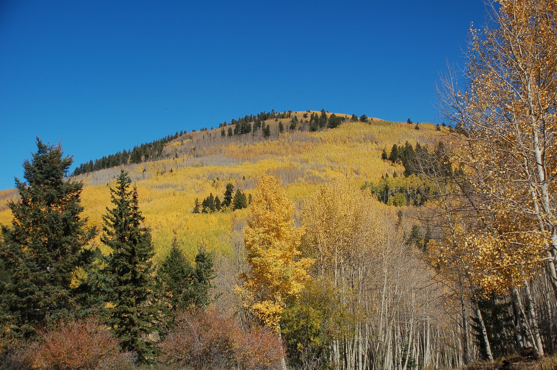
The landscape ranges from roughly 3,500 feet to over 11,000 feet in elevation, anchored by Escudilla Mountain at 10,876 feet and a catalog of “206 named mountains.” The forests sit in the Arizona transition zone between the Colorado Plateau and the Basin and Range region, producing stacked habitats from desert-adapted species at lower elevations to alpine meadows and ponderosa pine groves higher up. Wildlife opportunities are broad: the forests “provide habitat for over 400 species of wildlife,” including antelope, elk, deer, bighorn sheep and turkey, and large predators such as mountain lion, black bear and the “newly re-introduced Mexican gray wolf.”
Water resources and fisheries are a major recreational draw. The Apache-Sitgreaves contains “over 450 miles of streams and nearly 2,000 surface acres of cold water lakes,” and supports Arctic Grayling, Rainbow, German Brown, Brook, Apache and Cutthroat trout. The area is described as “one of the top forests in the nation for fishing,” a fact that influences local tourism, guide businesses and gear retailers from Springerville to Alpine.
Trail and driving access is extensive. Visitors have access to nearly 1,000 miles of trails and four National Recreation Trails: Eagle, Blue Ridge, Escudilla and General George Crook. Barrier-free options are listed such as the Mogollon Rim Interpretive Trail and Pintail Lake Wetland. Scenic travel is a signature feature of the region; Forestcamping material notes that “It is said there are 400 curves on the Coronado Trail Scenic Byway so take your time and enjoy the magnificent vistas, fabulous scenery, and possible wildlife sightings.” The Coronado Trail (US Highway 191) and features like the Arrow Tree, Blue Vista at Five-mile Hill and the Morenci open-pit copper mine provide cultural and interpretive points of interest.
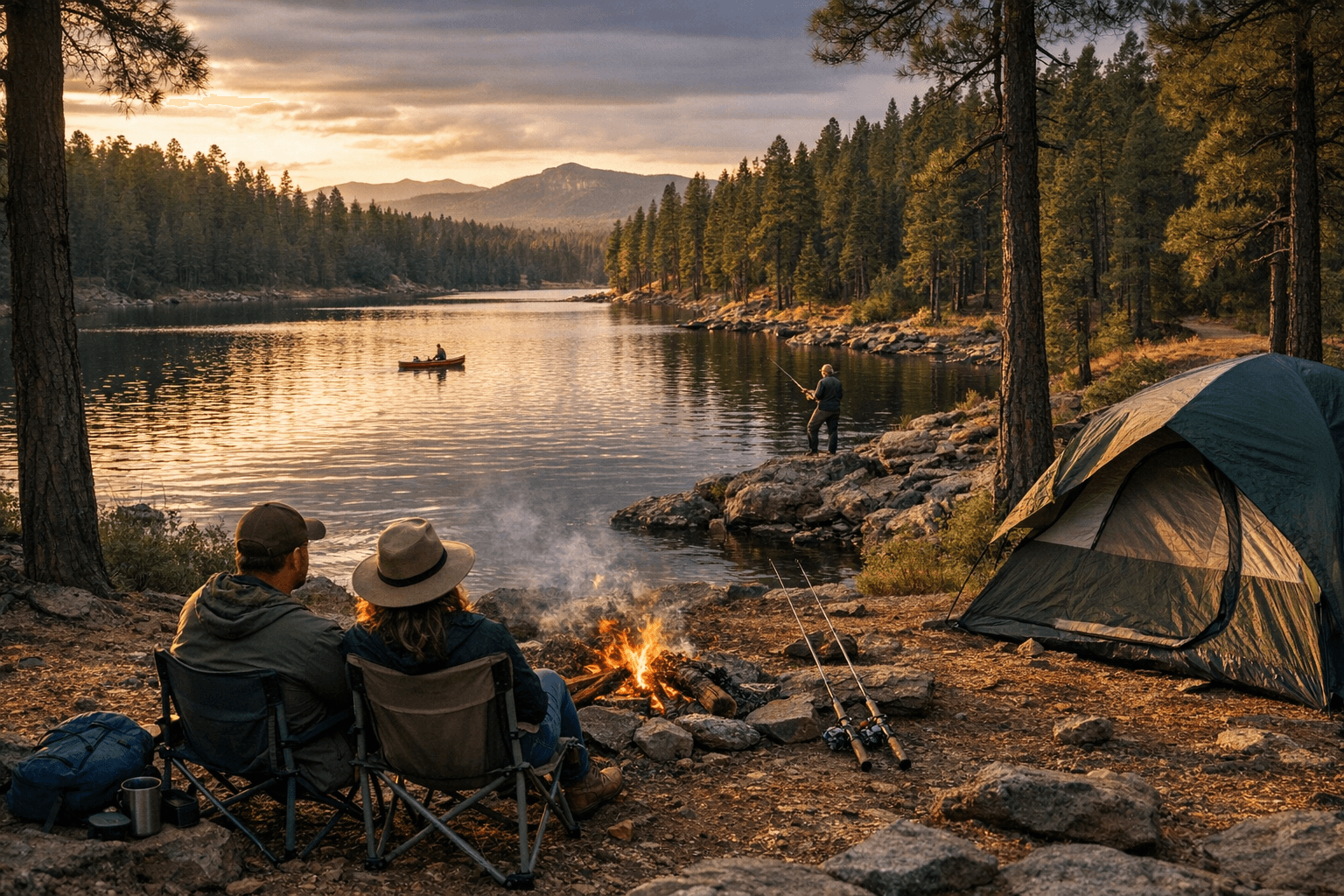
Camping infrastructure figures diverge in source material. Some listings say “View all 21 campgrounds,” while another states “There are twenty-four developed campgrounds, of which sixteen meet the selection criteria.” Practical reservation guidance is clear: “Campground reservations typically open several months in advance. For peak season visits, book as early as possible. Check individual facility pages for specific booking windows and availability.” Recreation.gov is promoted as the central reservation gateway.
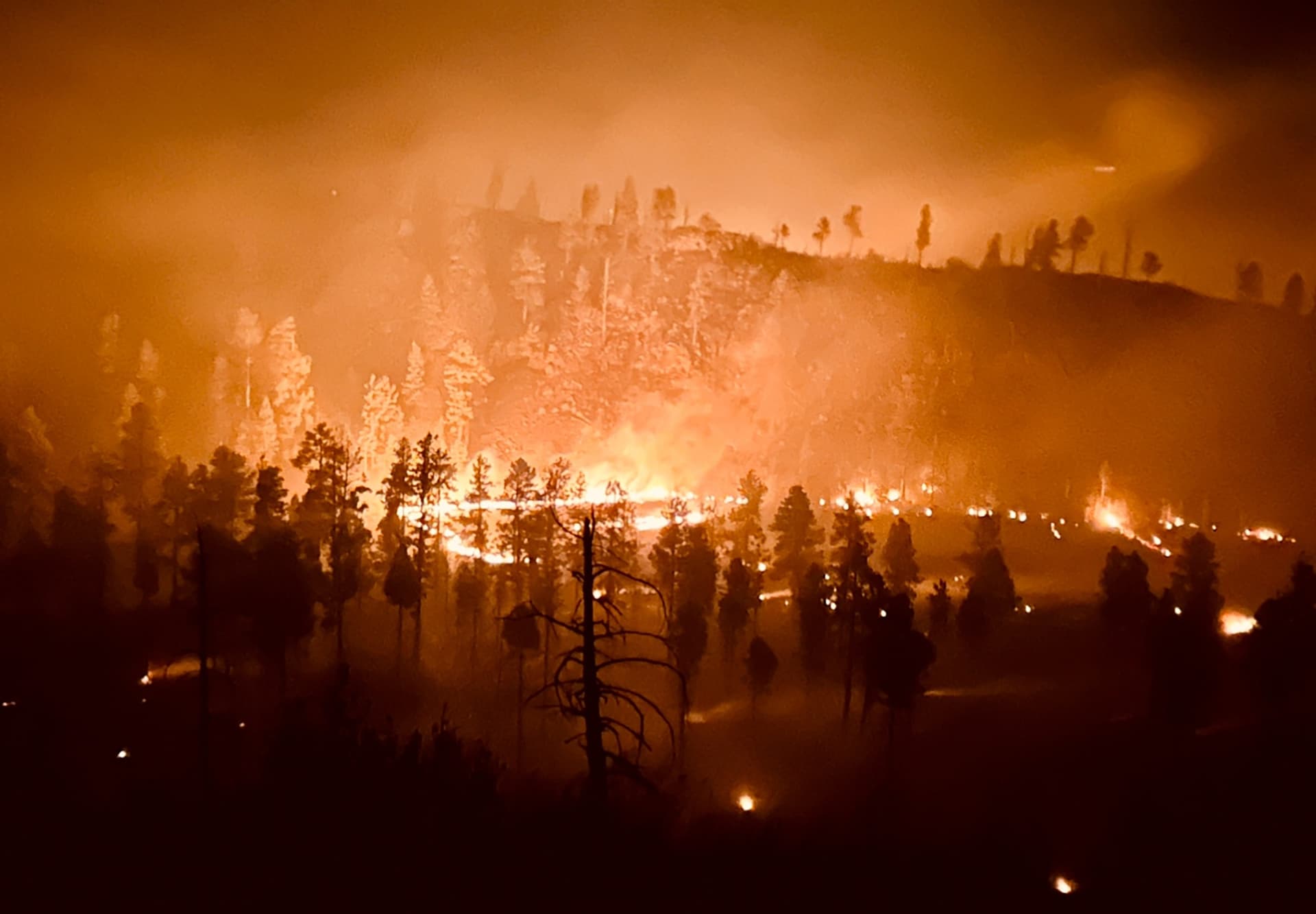
Local access points include Springerville, Greer, Alpine and Hannagan Meadow, and visitors are advised that “road conditions can vary with the seasons” and to monitor fire restrictions and weather. Materials list the Springerville and Clifton District Ranger Offices as sources for interpretive resources, including a “Talking Tour Tape for the Coronado Trail.” One contact number appearing in source excerpts is 1111111111; confirm current district phone numbers and the latest fee and permit schedules with the U.S. Forest Service before travel.
For Apache County residents, the forests mean outdoor economies, seasonal visitor flows and shared stewardship responsibilities. Clarifying acreage, campground inventories and current permit fees with Forest Service officials will sharpen planning for recreation businesses, emergency services and county budgeting as visitation patterns evolve.
This article was produced by Prism’s automated news system from verified source data, official records, and press releases, then run through automated quality and moderation checks before publishing. The system is built and supervised by the people who set the standards it runs under. Read our full AI policy.
Did this article answer your question?