Wind Advisory Issued for Apache County Mountains, Plateau, and River Valley
Gusts topping 45 mph hit Apache County's Chuska Mountains and Window Rock Wednesday, threatening power outages, zero-visibility dust, and dangerous roads through 8 PM.
Gusts of 35 to 45 mph, with isolated locations expected to exceed that range, swept across the Chuska Mountains, Defiance Plateau, and Little Colorado River Valley on Wednesday as the National Weather Service in Flagstaff extended a Wind Advisory covering all three Apache County zones through 8 PM MST.
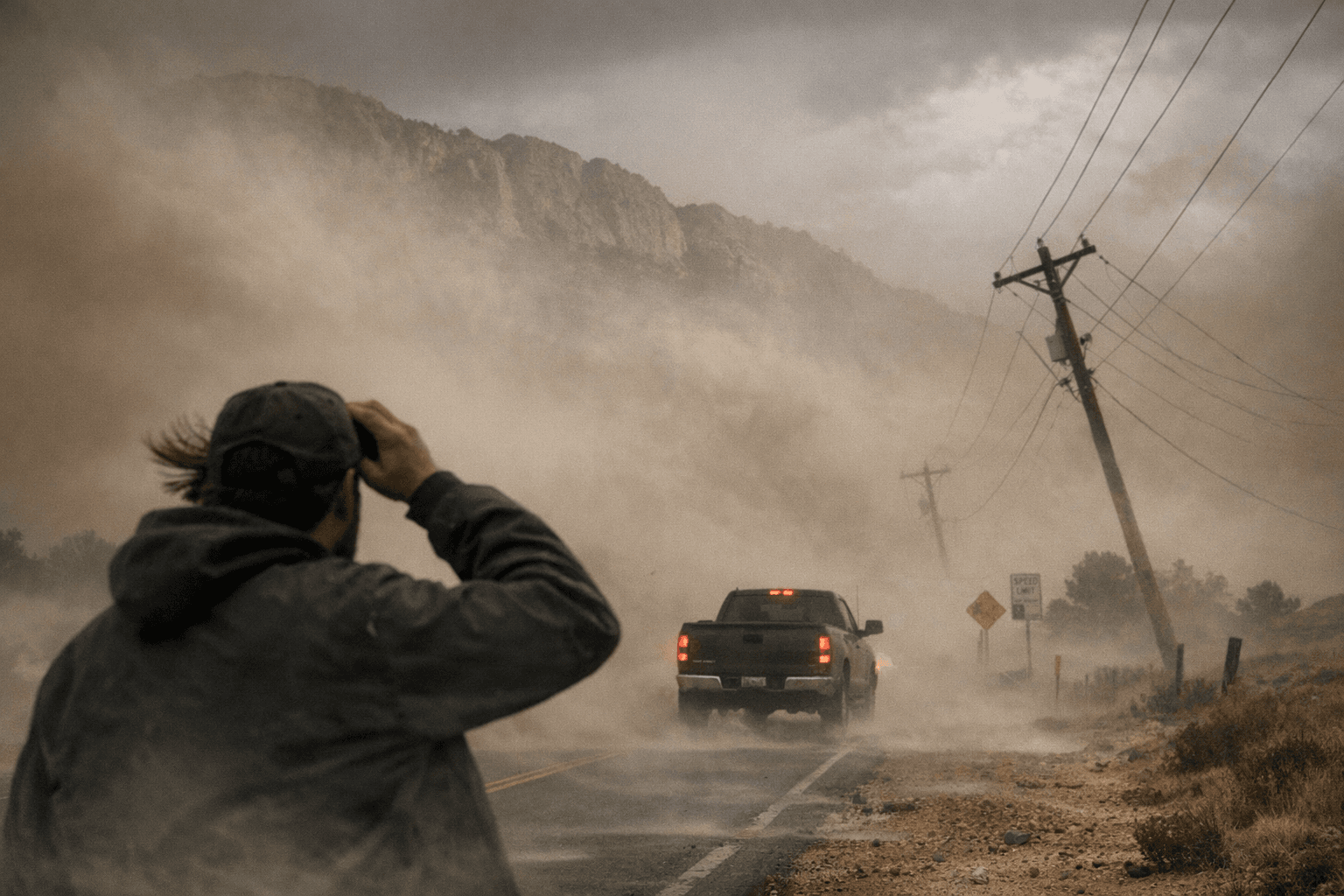
The advisory ran from 11 AM MST (noon MDT) on April 1, fueled by sustained west winds of 15 to 25 mph ahead of an approaching storm system. Semi-trucks, RVs, and trailers faced the most acute travel risks: NWS Flagstaff specifically flagged high-profile vehicles as especially vulnerable to the gusty westerly flow across affected highways. Down in the Little Colorado River Valley, blowing dust cut visibility and created hazardous driving conditions at lower elevations where the terrain offers little natural windbreak.
Higher up, the threat was falling trees and power outages. The Chuska Mountains, straddling the Arizona-New Mexico border with an average elevation around 9,000 feet and a high point of 9,823 feet at Roof Butte, and the 75-mile-long Defiance Plateau, whose summit at Fluted Rock reaches 8,304 feet near Sawmill, Arizona, both sat in the core of the westerly flow. Window Rock, the capital of the Navajo Nation, lies at the southeastern edge of the Defiance Plateau, placing the seat of Navajo government inside the advisory corridor.
The storm system driving the winds also ushered in cooler air across Arizona Wednesday, dropping temperatures several degrees regionwide. Overnight lows in the Chuska-Defiance forecast zone were expected near 36°F.
NWS Flagstaff advised securing any loose outdoor objects before peak gusts. Similar wind events in the region have previously caused widespread outages and damage to trees and power lines, adding unplanned costs to local households and businesses. Road and outage conditions can be monitored through the NWS Flagstaff forecast page as conditions evolve through the evening hours.
The advisory's reach across Apache County reflects both the county's scale and concentration of risk. Spanning 11,216 square miles, it is Arizona's third-largest county by land area and holds more territory designated as Indian reservation than any other county in the United States. The Navajo Nation and Fort Apache Indian Reservation together cover roughly 66% of that expanse. Of the county's 66,021 residents counted in the 2020 Census, approximately 64% reported Navajo ancestry, meaning Wednesday's wind event struck squarely at one of the most concentrated Indigenous communities in the nation.
This article was produced by Prism’s automated news system from verified source data, official records, and press releases, then run through automated quality and moderation checks before publishing. The system is built and supervised by the people who set the standards it runs under. Read our full AI policy.
Did this article answer your question?