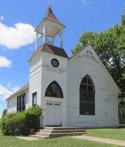
Glacial Hills byway plan aims to preserve Kansas oldest communities
The Glacial Hills plan links K-7 to preservation, tying Atchison County’s bluff country to Kansas oldest communities and a 63-mile scenic corridor.
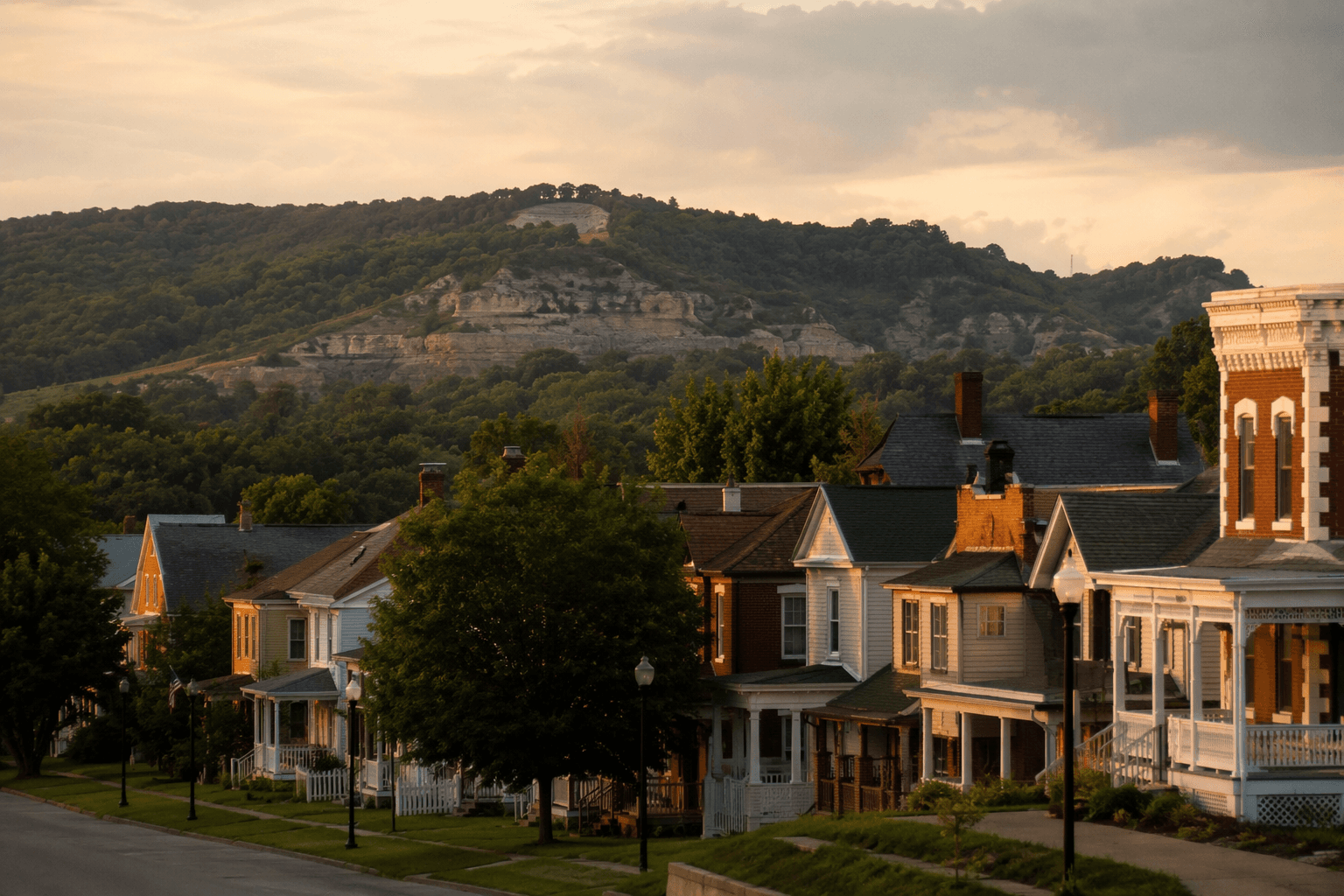
The Glacial Hills Scenic Byway is built around a simple idea with real local consequences: in Atchison County, the road itself is part of the landscape the county is trying to keep intact. The corridor management plan was written to identify, preserve, enhance and promote the scenic, historic, cultural, recreational and natural resources of Kansas oldest communities along a rural and unique landscape of river bluff corridor.
A preservation plan, not just a driving route
The Glacial Hills Scenic Byway Corridor Management Plan was submitted in May 2002 to the Kansas Department of Transportation and the Kansas Scenic Byways Program & Clearinghouse. That matters because it frames the byway as a managed corridor, not a marketing slogan. The plan covers Atchison, Doniphan and Leavenworth counties, so Atchison County is part of a larger northeastern Kansas landscape that is being presented and protected as one connected public asset.
The wording in the mission statement is unusually direct. It links the byway to “Kansas oldest communities” and to a “rural and unique landscape of river bluff corridor,” which puts preservation at the center of the project. In practical terms, that means the route is supposed to do more than attract travelers: it is meant to help guard the visual character, access, and sense of place that make the county recognizable from the road.
How K-7 became the Glacial Hills Scenic Byway
Kansas Highway 7, or K-7, is the core roadway of the byway. State designation followed in early 2003, when Kansas named a 63-mile stretch of K-7 between Leavenworth and White Cloud the Glacial Hills Scenic Byway. That stretch gives the corridor a clear spine and explains why the byway is tied to both transportation planning and scenic preservation.
Atchison County Resolution No. 1199 shows how local support fed into that designation. The resolution says a local advocate group, made up of community leaders, civic group representatives, residents and other interested parties, submitted the proposal. It also states that the Kansas Scenic Byways Advisory Committee evaluated the route, reviewed the management plan and recommended that the Glacial Hills Scenic Byway receive the designation.
The county resolution also places the byway in the wider federal framework created by the Intermodal Surface Transportation Efficiency Act of 1991. That law established the National Scenic Byways program structure under Congress, which is why the Glacial Hills route fits into a national system rather than standing alone as a county-level scenic label.
Why the landscape looks the way it does
Kansas Tourism describes the Glacial Hills Scenic Byway as a route through landscapes created by time, wind, rain and ancient glaciers. That description fits the byway’s name and its terrain: rolling hills, rock-strewn valleys and the bluff country that gives the corridor its shape. A Kansas Tourism social post put the naming plainly, saying the byway gets its name from “the rolling hills and rock-strewn valleys carved by ancient glaciers.”
That geography gives Atchison County something more valuable than a pleasant commute. River bluffs and higher ground create the kind of overlooks that let drivers and residents read the land at a glance, from the contours of the valley floor to the edges of settlement along the corridor. The byway’s value lies in that visibility, because the route turns the county’s landscape into a public experience rather than scenery seen only from private property.
Why it still matters in every season
Kansas Tourism says, “Along tranquil hills and rolling roads, sometimes the journey is the destination.” The same agency says each season becomes a “time capsule” highlighting the landscape, which helps explain why the byway holds value year-round instead of only in peak travel months. Spring greens, summer light, autumn color and winter’s stripped-down contours all reveal the same underlying corridor in different ways.
That seasonal consistency matters for Atchison County because it supports more than tourism. A well-defined scenic corridor can strengthen local identity, encourage repeat visits, and reinforce the county’s image as a place where geography still shapes civic life. It also gives residents a route that is recognizable as a shared public place, not just a stretch of highway to move through quickly.
A route that still carries public meaning
Kansas Tourism continues to feature the Glacial Hills Scenic Byway in its byways and highways material, and the National Scenic Byway Foundation also keeps the route in the larger scenic-byways conversation. That ongoing presence shows the byway remains active in how Kansas presents its landscape to visitors and how local communities describe themselves to the outside world.
For Atchison County, the route’s value is concrete. It preserves the visual identity of the river bluff corridor, ties the county to Kansas oldest communities and gives residents a shared landscape that is still visible from one of the state’s most distinctive roadways.
This article was produced by Prism’s automated news system from verified source data, official records, and press releases, then run through automated quality and moderation checks before publishing. The system is built and supervised by the people who set the standards it runs under. Read our full AI policy.
Did this article answer your question?