Storm cools Baker City on hottest day of 2026
A storm cut Baker City’s hottest day of 2026 short Thursday, cooling the city just as crews were fighting fires near Durkee and the Malheur-Baker County line.

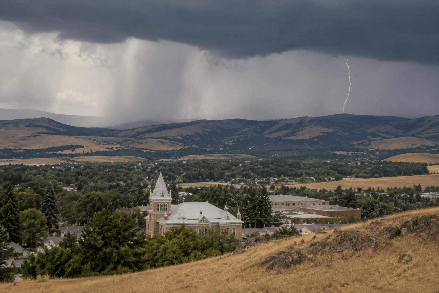
A storm swept through Baker City Thursday and rapidly cooled what had been the hottest day of 2026, turning a punishing summer afternoon into a brief, sharp break in the heat. The weather shift came as Baker County was already watching fires nearby, giving residents relief from the temperature and another reminder of how quickly conditions can change in Eastern Oregon.
The sudden drop mattered because the heat had been building for days. Baker City had already been on alert this spring for record-breaking temperatures, and in May the city faced another fast warmup around dawn as temperatures rose sharply. Thursday’s storm fit that pattern of whiplash weather that can change the pace of the entire day for people working outside, driving rural roads, or trying to keep up with summer routines in town.
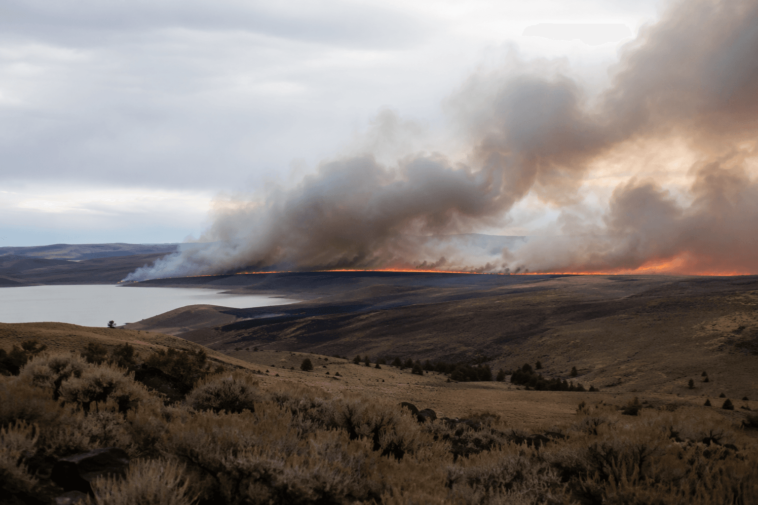
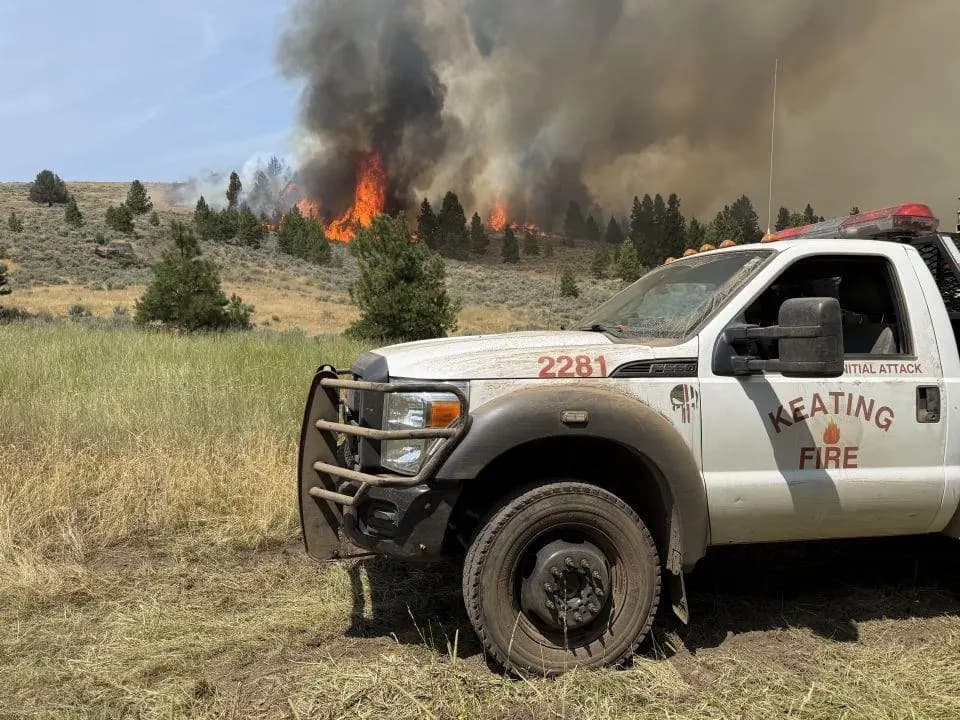
The timing also intersected with active fire response across the region. On the same day, crews were continuing to get a handle on fires in and near Baker County, and firefighters responded to a blaze southeast of Durkee near Shirttail Creek Road. A day earlier, nine new suspicious range fires were burning near the Malheur-Baker County line, adding to concerns across the county’s eastern edge and the Durkee Valley area.
The storm’s cooling effect offered only temporary relief from a larger fire season that was already tightening restrictions elsewhere in Eastern Oregon. Umatilla National Forest announced that all campfires would be banned starting Friday, July 24, because hot, dry weather was expected to continue and several large fires were burning. In Umatilla County, evacuation levels were expanding around the Hagen Fire, and fire teams for the Hagen, Paradise and Horse Ridge fires planned a public meeting as the fire danger spread across the region.
Baker County has seen this kind of turnaround before. In July 2024, a cold front ended Baker City’s most severe heat wave and spawned a thunderstorm with gale-force winds and 66 mph gusts, a reminder that storms can bring welcome cooling and also dangerous wind, lightning and sudden fire changes. Thursday’s weather did not just mark a temperature swing. It landed in the middle of an already tense fire week, when a fast-moving storm could ease the heat for a few hours and still complicate the work of crews trying to hold fires in check.
This article was produced by Prism’s automated news system from verified source data, official records, and press releases, then run through automated quality and moderation checks before publishing. The system is built and supervised by the people who set the standards it runs under. Read our full AI policy.
Did this article answer your question?