Wildfire near Huntington triggers evacuations, closes I-84 and U.S. 30
A Huntington-area fire sent Farewell Bend State Park to Level 3 and shut westbound I-84 and U.S. 30, with no reopening time set.

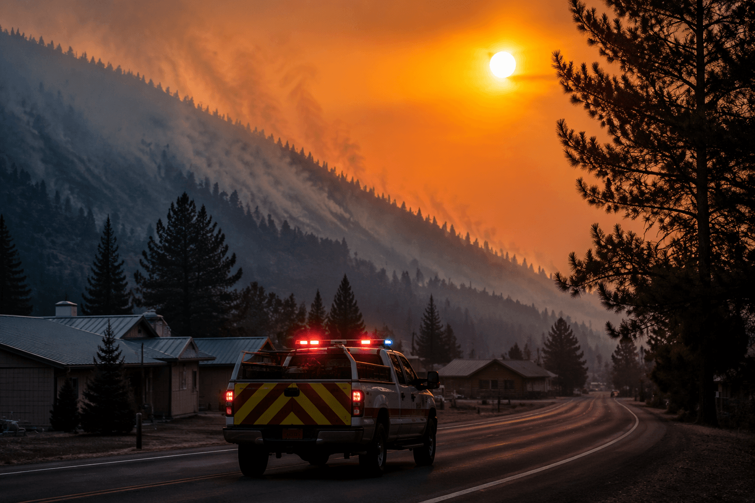
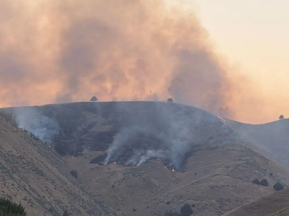
A fast-moving wildfire near Huntington forced the Baker County Sheriff’s Office to order evacuations and pushed transportation officials to shut down major routes as conditions shifted through the night. Farewell Bend State Park was placed under a Level 3, Go Now order, while Level 1 and Level 2 evacuation zones were also in effect in the Huntington area. Westbound Interstate 84 closed between Ontario and Baker City, and U.S. 30 south of Huntington was also shut down, with no estimated time for reopening.
The evacuation levels carry a specific meaning under Oregon’s statewide system. Level 1 means be ready, Level 2 means be set, and Level 3 means go now. State guidance says people in a Level 1 area should pack, prepare to leave, and stay informed through county alerts and local emergency agencies, while Level 3 means residents should leave immediately.
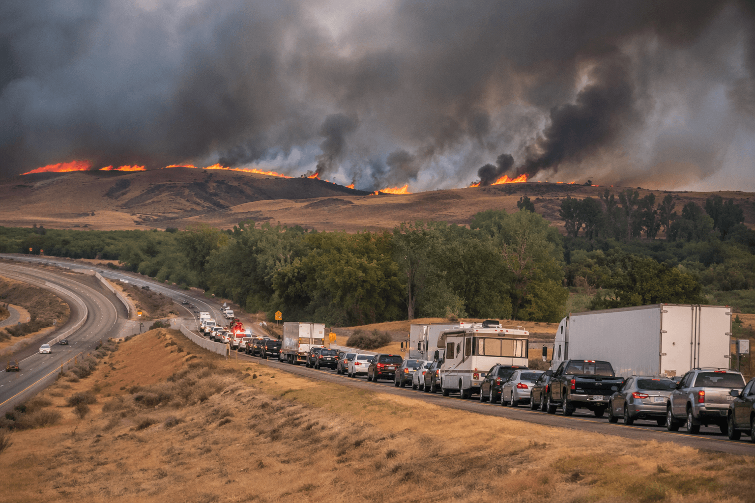
That matters in Baker County because fire behavior can force roads to open and close with little notice. The closures around Huntington threatened not only nearby neighborhoods but also travel through the Snake River corridor, where drivers depend on I-84 and U.S. 30 to move between eastern Oregon communities, reach services, and keep freight moving. When a fire shifts direction or intensifies, those routes can become unsafe fast, and emergency managers can expand alerts just as quickly.
The Huntington response also fits a broader pattern Oregon residents know well. In Baker County’s 2024 Durkee Fire, state officials said the blaze reached 116,431 acres and was zero percent contained as of Sunday morning after a Saturday conflagration declaration. That fire showed how quickly a local ignition can turn into a major public-safety event that strains evacuation planning and transportation access across a wide area.
Oregon’s wildfire system directs residents and media to county sheriffs, emergency managers, and local fire agencies for the most current evacuation information. For road status and closures, state guidance points drivers to Oregon Department of Transportation’s TripCheck system or to 5-1-1. In a fire like the one near Huntington, those are the tools that determine whether residents can safely stay put, need to leave, or can get home at all.
This article was produced by Prism’s automated news system from verified source data, official records, and press releases, then run through automated quality and moderation checks before publishing. The system is built and supervised by the people who set the standards it runs under. Read our full AI policy.
Did this article answer your question?