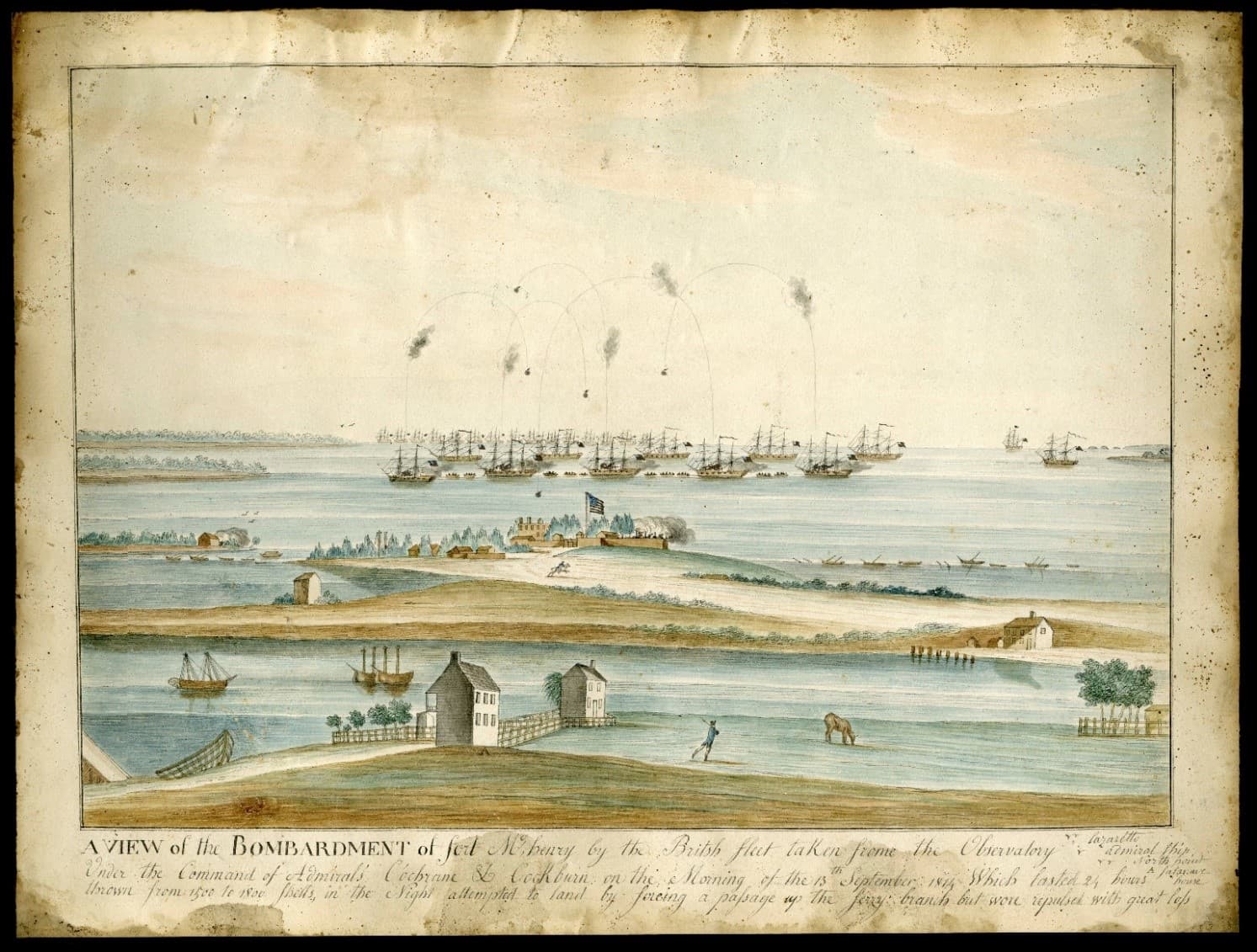
Baltimore starts the week dry, storm chances rise later
Baltimore starts dry, but Tuesday and Wednesday look like the city’s highest-risk windows for severe storms, heavy rain and flooding in spots like Fells Point.
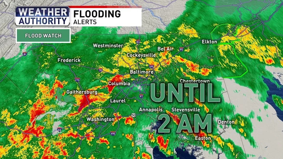
Baltimore begins the week with a warm, mostly pleasant Sunday, but the safer window looks short as storm chances rise over Maryland for much of the workweek. The best time for commutes, yard work and outdoor plans is early, before the atmosphere turns more unsettled later in the day.
That timing matters across Baltimore City, where a dry morning can make the difference for construction crews, buses, school athletic practices and downtown errands. By the afternoon and evening, thunderstorms could interrupt plans around the Inner Harbor, Fells Point and neighborhood parks, with lightning, heavy rain and slower traffic becoming more likely as the week wears on.
The sharpest weather warning is centered on Tuesday and Wednesday. In a July 20 hazardous weather outlook, National Weather Service Baltimore/Washington said no hazardous weather was expected through that night, but multiple rounds of severe thunderstorms with damaging winds were possible Tuesday and Wednesday. A July 22 briefing from National Weather Service Philadelphia/Mount Holly showed how quickly the picture can vary across the region, with lower severe thunderstorm and flash-flooding risks that day for eastern Pennsylvania, New Jersey, Delaware and Maryland’s Eastern Shore.
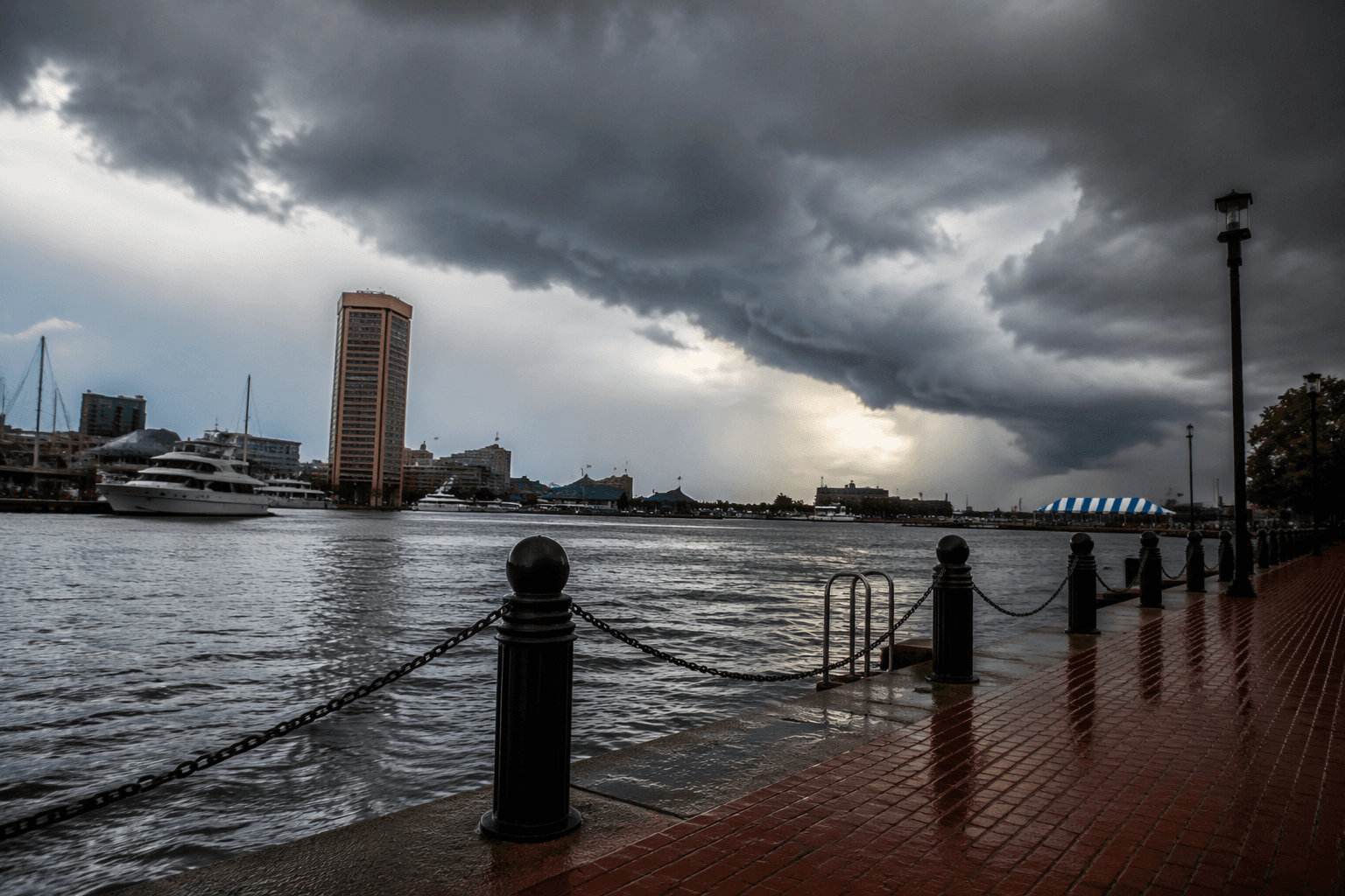
For Baltimore, the bigger concern is what a few rounds of heavy rain can do to streets that already flood easily. CBS Baltimore has identified Fells Point, Hillen Road in East Baltimore and Frederick Avenue in Southwest Baltimore as flood-prone areas. In one Fells Point storm, several cars stalled when floodwater rose at an intersection, and a resident said the water climbed above the sidewalks and curbs and flooded out quickly.
That history makes the midweek forecast more than routine summer weather. Baltimore’s low-lying blocks can go from damp to disruptive fast, especially when strong storms arrive after a day of heat and humidity. Power outages, tree damage and transit delays are all possible when thunderstorm lines move through during the afternoon commute or evening events.

For now, the practical move is to use the dry start of the week for anything that cannot wait, from outdoor work to kids’ sports and waterfront plans. By Tuesday and Wednesday, the safer bet is to expect brief but intense storms, wet roads and a higher chance of flooding in the city’s most vulnerable neighborhoods.
This article was produced by Prism’s automated news system from verified source data, official records, and press releases, then run through automated quality and moderation checks before publishing. The system is built and supervised by the people who set the standards it runs under. Read our full AI policy.
Did this article answer your question?