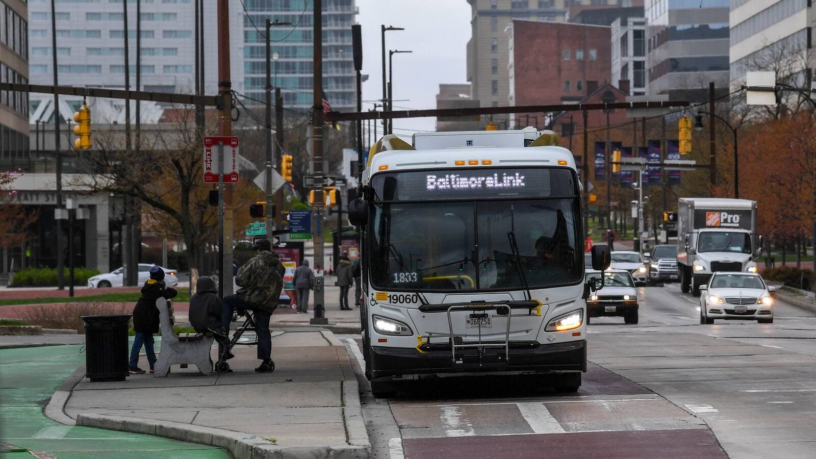
Severe storms could hit Baltimore area Tuesday afternoon, NWS warns
Storms may reach Baltimore around 3 p.m., lining up with rush hour and after-school pickup as damaging winds, hail and tornadoes remain possible.

Storms are expected to reach Baltimore around 3 p.m. Tuesday and continue into the evening, right as commuters head home and after-school routines get underway. The National Weather Service Baltimore/Washington expects multiple rounds of severe thunderstorms Tuesday afternoon through late evening, with damaging winds as the primary threat.
The first stronger storms are expected between 2 p.m. and 4 p.m., with a few storms forming earlier in the day. Maryland faces an elevated severe storm risk Tuesday, with tornadoes and hail possible, while the weather service’s Mid-Atlantic outbreak page includes damaging winds, hail and tornadoes across the broader region. The hazardous weather outlook extends the severe thunderstorm threat into Wednesday.
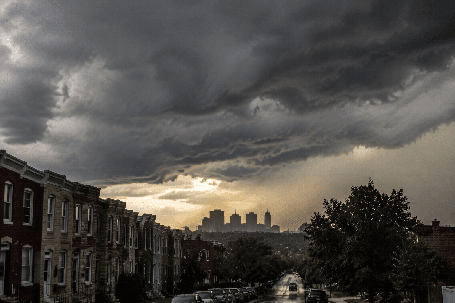
Baltimore City’s afternoon commute, school pickup and evening outdoor plans fall in the storm window, and scattered power interruptions are possible if strong winds sweep through the area. Conditions can change quickly and timing may shift.

Baltimore’s 2020 census population was 585,708, making it the state’s most populous city. Residents in flood-prone and waterfront neighborhoods should keep close watch on updated warnings as the worst weather moves toward the Baltimore/Washington forecast area.
This article was produced by Prism’s automated news system from verified source data, official records, and press releases, then run through automated quality and moderation checks before publishing. The system is built and supervised by the people who set the standards it runs under. Read our full AI policy.
Did this article answer your question?