How Bamberg grew from railroad stop to county seat
Bamberg’s county seat began as a railroad water stop, and its streets still trace that track. A walk past Restland Cemetery, Trinity, and the historic district shows why.
Bamberg did not grow by accident. It took shape where the South Carolina Canal and Rail Road Company built a water tower around 1832, then hardened into a town around the railroad stop that followed, with a layout still visible in the streets east of the tracks. The place carried several names before incorporation in 1855, and each one marks a step in how a rail stop became the seat of Bamberg County.
From water stop to town
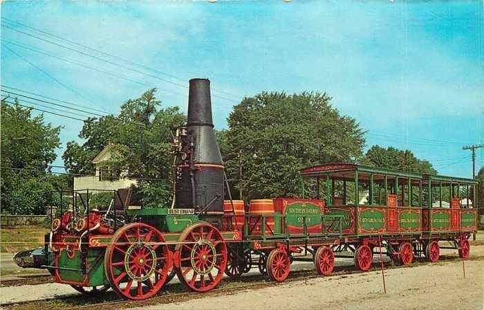
Bamberg’s earliest identity was tied to a function, not a skyline. The settlement began as a water-refilling stop on the South Carolina Railroad, and the line traversed the area in 1833 on its way to Charleston. For a rail town, that meant movement mattered more than size: trains needed water, passengers needed a place to pause, and a small cluster of buildings could quickly become a point of importance.
The town’s changing names tell the same story. It was known at different times as Seventy-Six, Simmon’s Turnout, and Lowery’s Turnout before the General Assembly incorporated it in 1855 and named it for William Seaborn Bamberg, the businessman who had acquired the site. That renaming did more than honor one man. It fixed the town’s identity at the moment when rail access, local land ownership, and civic ambition were converging.
Civil War disruption made the railroad’s influence even more obvious. One South Carolina Public Radio history note says Union cavalry destroyed the railroad depot and tracks in Bamberg during the war. In a rail town, the depot was not just a building. It was the node that connected trade, travel, and local life, so damage to the line reached far beyond the tracks themselves.
A walking map still shaped by the tracks
The Bamberg Historic District gives residents a way to read that history in place. The district contains roughly 75 properties in eastern Bamberg, arranged along both sides of the Southern Railroad tracks. Its boundaries are not abstract. They run through parts of Second Street, East Railroad Avenue, Midway Street, Elm Street, Cannon Street, North Carlisle Street, and Church Street, all of which still help define how the town sits beside the rail corridor.

That matters because the district is not a museum frozen behind fences. It is a residential neighborhood listed in the National Register of Historic Places, the federal program administered by the National Park Service to identify and protect historic places. The streets, houses, churches, and open spaces inside the district still reflect the railroad logic that shaped Bamberg’s first century: the tracks pulled development into a line, and the town built outward from that line.
A practical way to read Bamberg today is to stand where the rail corridor still organizes the map and follow the streets that parallel it. The district’s concentration of historic properties along the tracks makes the town’s origin legible from the ground. Even as buildings change hands and get renovated, the underlying pattern stays put.
Trinity United Methodist and the town’s first civic landmarks
Church history gives the town a second fixed point. Trinity United Methodist Church first formed in 1853, when Bamberg was still a stagecoach stop called Lowery’s Turnout. That timing matters because it places organized congregational life in the town before incorporation and before the county seat settled into its long-term role.
The original Trinity Methodist meeting house stood on Church Street where Restland Cemetery is now located. That site ties together worship, community memory, and burial in a single footprint. Major William Seaborn Bamberg is buried in Restland Cemetery, making the land that once held the church meeting house part of the town’s civic origin story as well as its religious one.
Trinity’s history also points to how Bamberg grew beyond the railroad itself. A church needs families, regular gatherings, and enough permanence to justify a building and a congregation. In a place that was still known as a turnout, that is a sign that Bamberg was already becoming a town with institutions, not just traffic.
Why cotton and rail later reinforced Bamberg’s role
By the 1890s, cotton had become a major part of the region’s economy, aided by enterprises such as the Bamberg Cotton Oil Mill. That shift linked the county seat to the wider agricultural economy of the Lowcountry and the railroad system that moved goods out of the town. The rail line that once brought water and passengers also helped support an economy built on processing and shipping.
This is why the railroad story still matters for Bamberg County government and town identity. The county seat was not placed here by geography alone. It emerged from transport infrastructure, then held its position because the town accumulated the institutions that followed infrastructure: church life, commercial development, burial grounds, and a district dense enough to preserve its own outline.
What to look for on the ground today
A self-guided look at Bamberg works best when it stays close to the visible record:
- The Southern Railroad tracks in eastern Bamberg, which still anchor the historic district.
- Church Street and Restland Cemetery, where the first Trinity Methodist meeting house once stood and where Major William Seaborn Bamberg is buried.
- Second Street, East Railroad Avenue, Midway Street, Elm Street, Cannon Street, and North Carlisle Street, which show how the district extends along the rail corridor.
- The broader Bamberg Historic District, whose roughly 75 properties preserve the town’s residential pattern around the line.
Read together, those places show Bamberg’s development in layers. The railroad created the stop, the town adopted a name, the church fixed a communal center, and the county seat inherited a street pattern that still reflects the original rail alignment. In Bamberg, the past is not only written in records. It is built into the map residents still use every day.
This article was produced by Prism’s automated news system from verified source data, official records, and press releases, then run through automated quality and moderation checks before publishing. The system is built and supervised by the people who set the standards it runs under. Read our full AI policy.
Did this article answer your question?

