Albuquerque opens San Antonio Oxbow Bluffs, a rare Rio Grande wetland
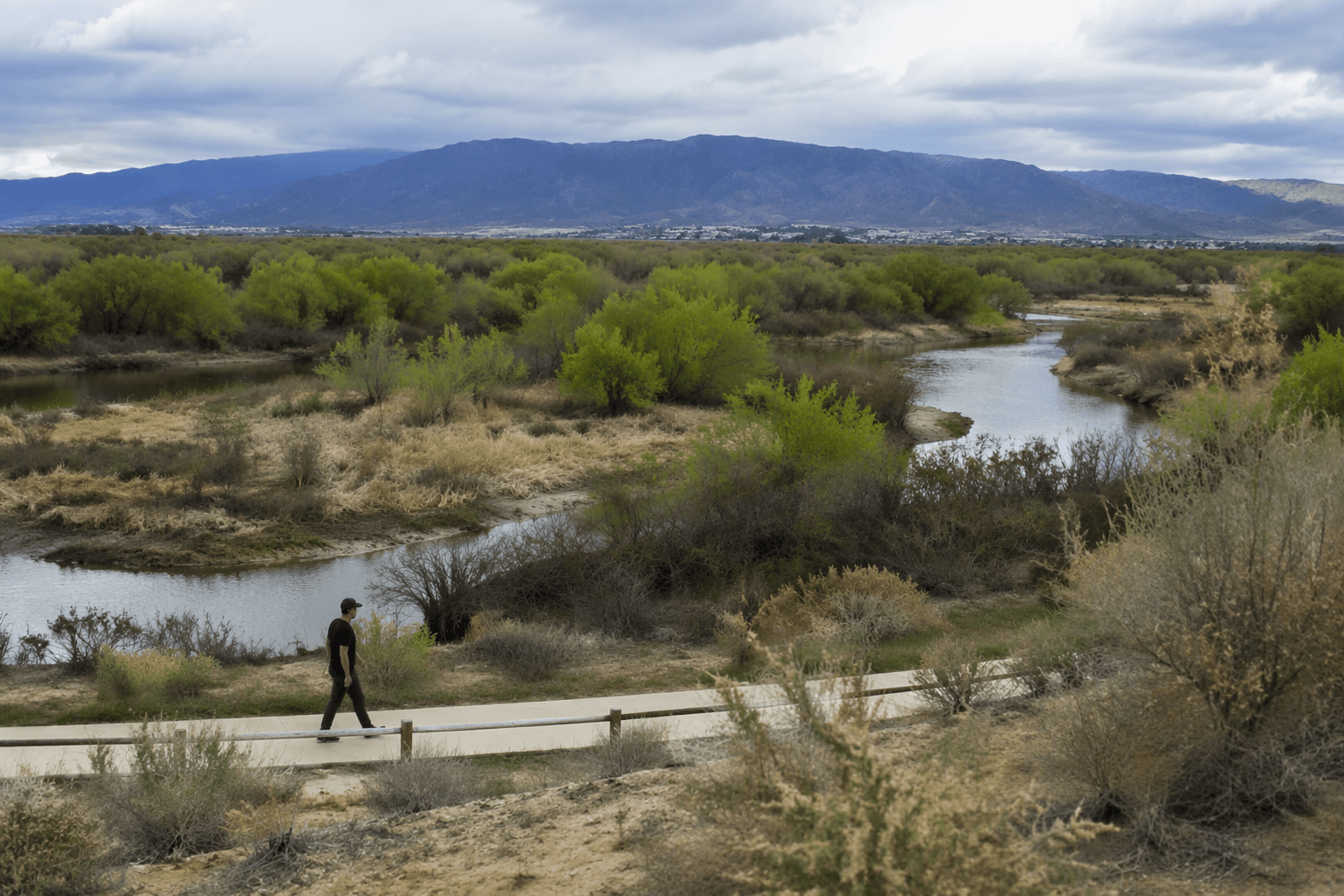
A former 69-home subdivision site now opens with a loop trail, ADA path and wetlands views at the Rio Grande’s only river-connected marsh between Bernalillo and Bernardo.

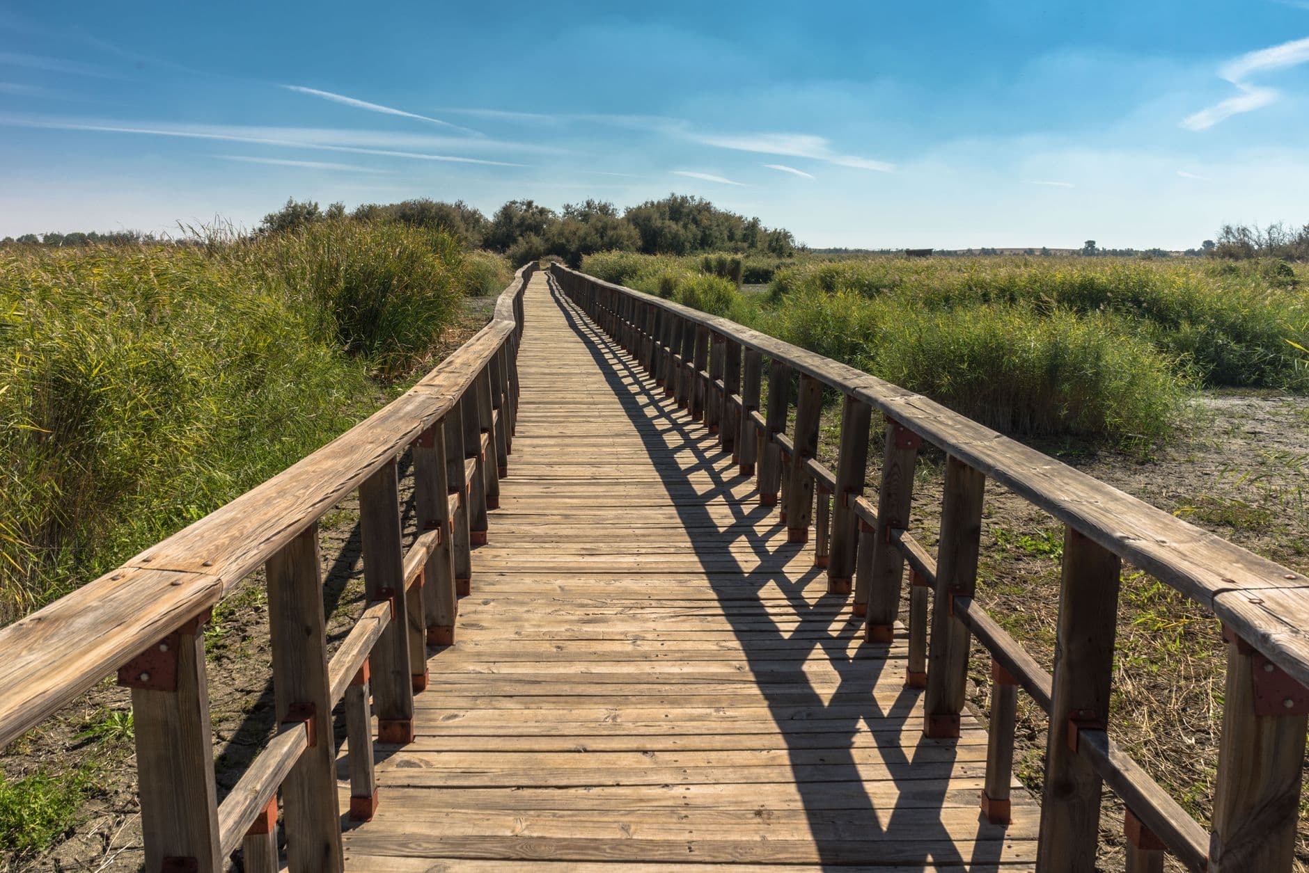
A new loop trail, an ADA-accessible path, benches, picnic tables and an outdoor classroom are now open at San Antonio Oxbow Bluffs, turning a long-protected parcel on Albuquerque’s west side into a place neighbors can actually use. The 23-acre open space at 5001 Namaste Road NW opened to the public with a ribbon-cutting Friday, and city leaders cast the project as both a neighborhood amenity and a conservation win.
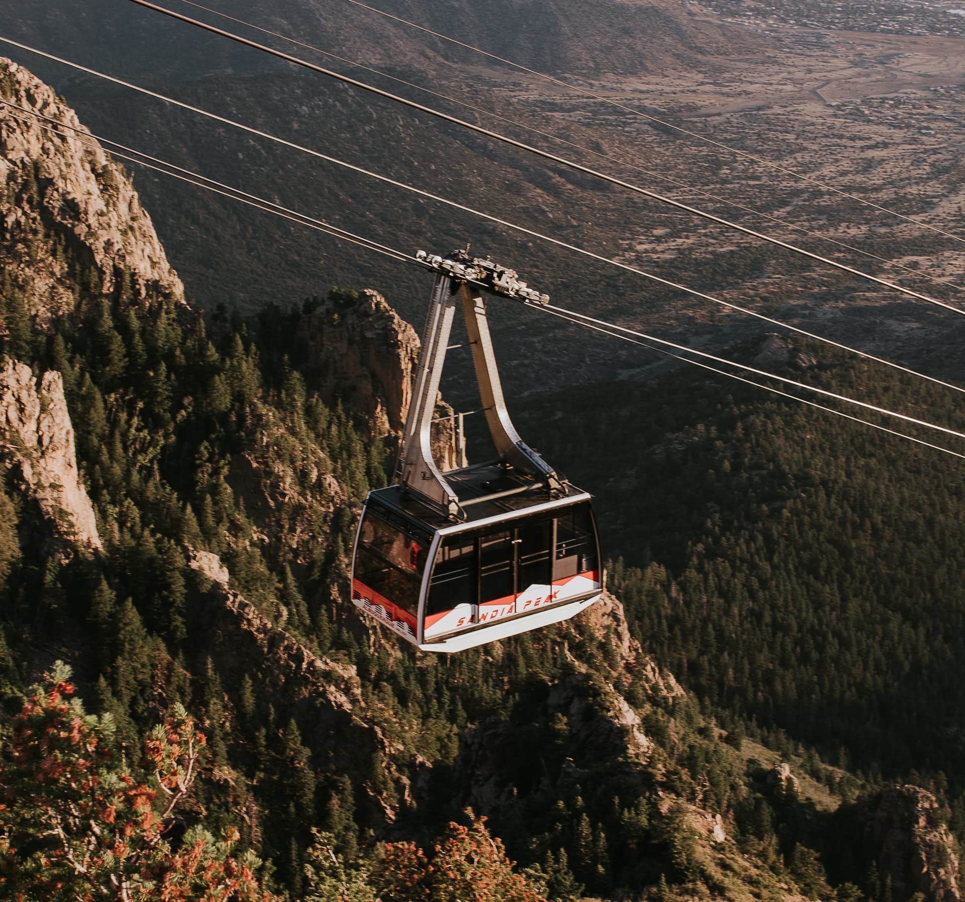
The site brings a rare stretch of the Rio Grande corridor into public view. City planning materials say the Oxbow wetlands are the only remaining river-connected wetlands between Bernalillo and Bernardo, and the property supports more than 179 bird species. The city also says the land helps protect water quality and flood protection while preserving native grasslands and arroyos, making the project more than a scenic stop along the West Side Bosque.
San Antonio Oxbow Bluffs was once slated for 69 homes before Albuquerque bought it in March 2021 for $6.7 million. The city preserved the property from development and later moved the project through the Environmental Planning Commission, which approved the final plan in October 2023. Phase 1 construction began in mid-2025 and wrapped by June 2026, after public meetings, site visits and surveys helped shape the design. The site is also known as the Poole Property and is part of the city’s Major Public Open Space network.
For nearby residents, the question is whether this investment changes daily life or simply marks a ceremonial save. The answer starts with access. The Phase 1 build-out includes a trail loop, an ADA-accessible trail, educational signage, a gathering area and parking lot drainage and erosion improvements, all aimed at making the land usable without sacrificing habitat. City materials say future phases remain ahead, and earlier planning discussions included the possibility of broader trail connections toward Coors Boulevard, the Corrales drain and Pueblo Montaño.
City open space staff and neighborhood advocates have long argued the parcel needed protection because of what it contains and where it sits, one of the last undeveloped pieces next to the Rio Grande Bosque on the west side. As Open Space Superintendent Colleen Langan-McRoberts said in earlier project discussions, the goal was to give people a place to “picnic, walk dogs on leash, enjoy the wildlife and views, and learn about the wetlands.” Phase 1 now makes that promise tangible, even as the larger promise of full connectivity still lies ahead.
This article was produced by Prism’s automated news system from verified source data, official records, and press releases, then run through automated quality and moderation checks before publishing. The system is built and supervised by the people who set the standards it runs under. Read our full AI policy.
Did this article answer your question?