Albuquerque updates bike map with 400 miles of routes, trails
Albuquerque’s new bike map folds in more than 400 miles of routes, trails and crossings, aiming to help riders stitch together safer trips across the metro.

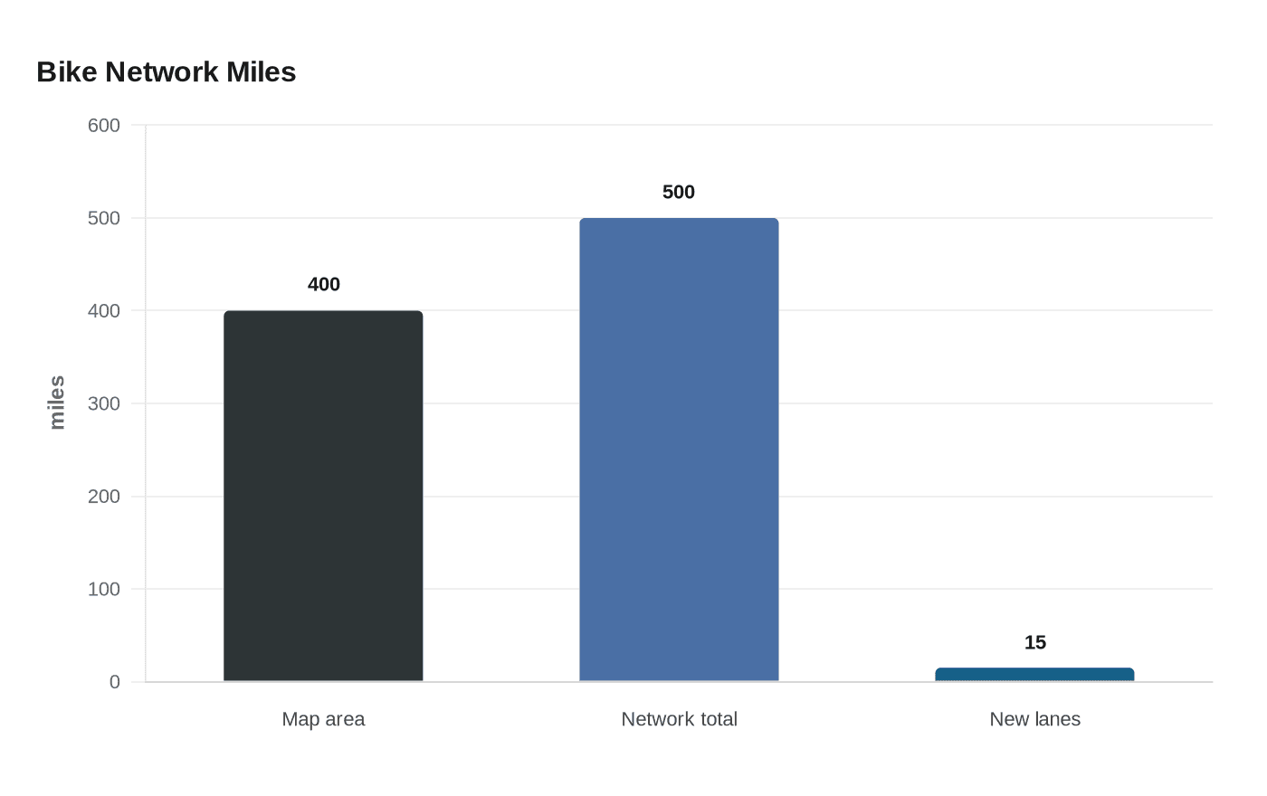
Albuquerque has rolled out an updated bike map that city officials say captures more than 400 miles of paved and unpaved bikeways and trails across the metro, an attempt to show how a system broken up by major roads, bridges, open space and rail corridors actually fits together. The update comes two years after the last bike map and is meant to reflect the city’s growth, including newer trail connections and Rail Trail segments. City materials say the broader network now tops 500 miles of bikeways, from on-street bike lanes to off-street multi-use trails, and that Albuquerque remains a Silver-level Bicycle Friendly Community.
The city says the interactive map pulls together data from Albuquerque, Bernalillo County, the Mid-Region Council of Governments, the New Mexico Department of Transportation and Rio Rancho, making it a guide for the Greater Albuquerque area rather than just the city limits. It also layers in details that matter to people trying to plan a real trip: arroyos, trailheads, ART bus connections where bicycles can be loaded, the 50-mile loop and other route links. Jennifer Turner said the new version includes the newest lanes, paths, crossings and Rail Trail segments, underscoring how quickly the network has changed since the last printed map.
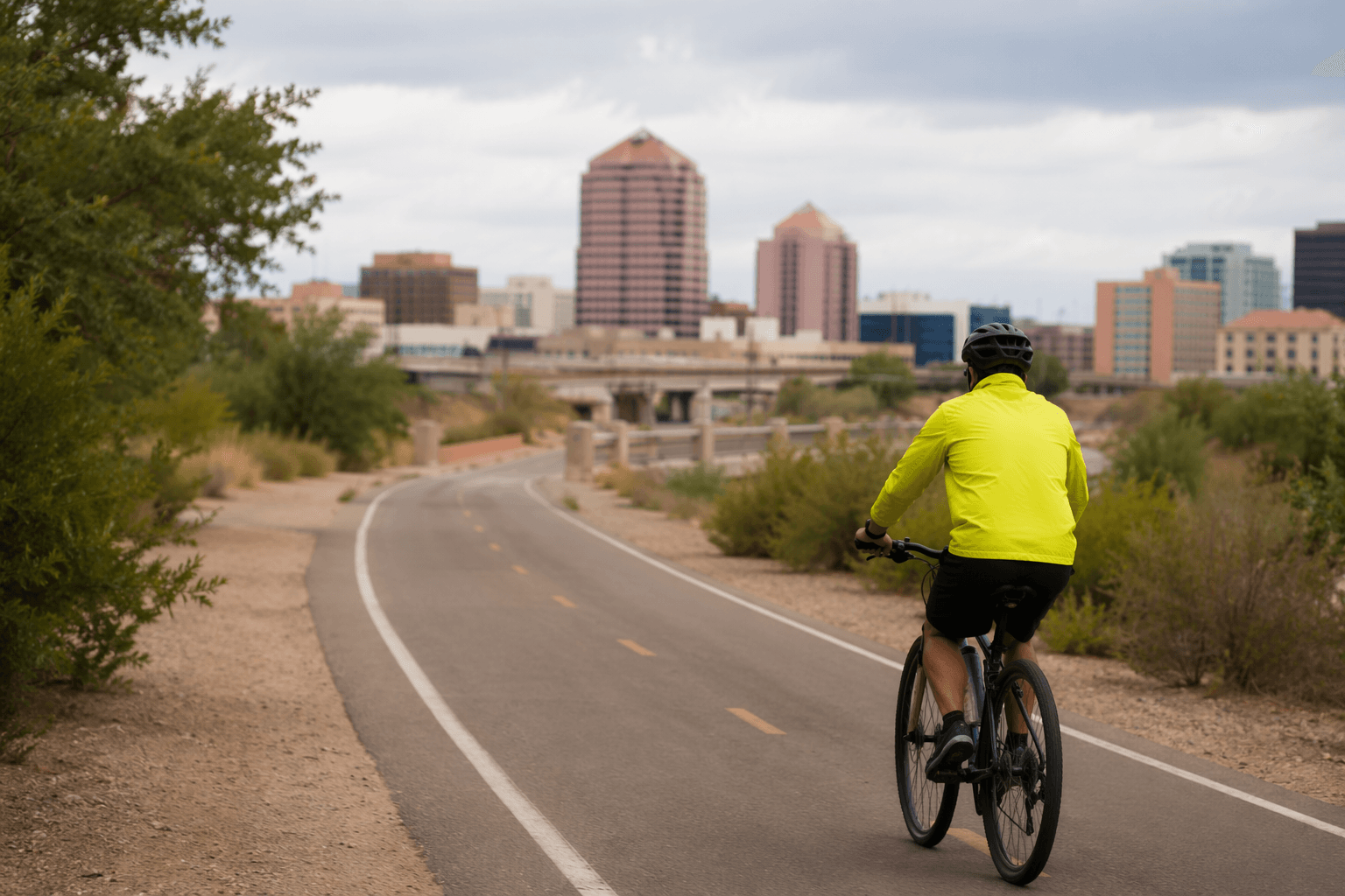
For everyday riders, the value is in the gaps as much as the mileage. Albuquerque’s 2024 Bikeway and Trail Facilities Plan is built around an all ages and abilities network, with bike routes, bike boulevards, bike lanes and major paved trails such as the Bosque Trail and Diversion Channel Trail designed to give riders different comfort levels more options. The city says it has installed more than 15 miles of new or enhanced bike lanes in the last two years through its Complete Streets Annual Maintenance Program. Silver Avenue, designated a Bicycle Boulevard by the City Council in 2009, remains one example of how the city is trying to connect quieter streets to the wider system.
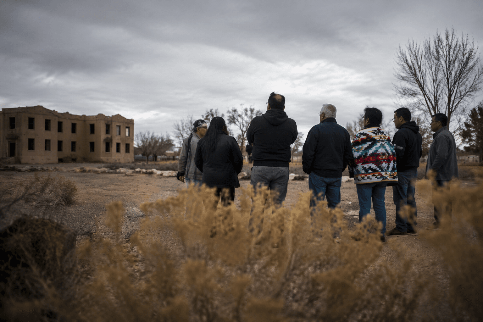
The map is also intended as a practical tool for commuters, students and recreational cyclists who often have to mix neighborhood streets, arterial roads and trails to get across Bernalillo County. Riders interviewed locally said they expect the update to help beginners, visitors and longtime cyclists alike, especially when they want to gauge whether a route is direct, difficult or connected before they leave home. Free hard copies are available at libraries, community centers, senior and multi-generational centers, indoor pools, the Esperanza Bicycle Safety Education Center and City Hall, or by calling 311. The test now is whether a more complete map helps more people turn a patchwork of routes into trips they can actually make.
This article was produced by Prism’s automated news system from verified source data, official records, and press releases, then run through automated quality and moderation checks before publishing. The system is built and supervised by the people who set the standards it runs under. Read our full AI policy.
Know something we missed? Have a correction or additional information?
Submit a Tip