County seeks recovery input after South Kona quake damage reports climb
More than 200 South Kona quake damage reports had piled up, including five destroyed homes and 34 major-damage cases, as residents waited for inspections, aid and repair timelines.

South Kona residents were still sorting out cracked walls, damaged roofs, blocked roads and uncertain water service as Hawaii County said damage reports from the May 22 earthquake had climbed past 200, with some homes destroyed and recovery needs still unfolding across West Hawaii.
County officials said Civil Defense had received about 207 damage reports in North Kona, South Kona and Kaū by the time Mayor Kimo Alameda issued an emergency proclamation effective May 27. Later county assessments counted five destroyed homes, 34 major-damage cases, 22 minor-damage cases and more than a dozen affected properties, while reporting after the quake also pointed to roadblocks, power outages, rockslides and damaged water catchment systems. No injuries were reported in the early coverage, but the county’s message to residents was clear: file residential or commercial damage reports and seek other help through Vibrant Hawaii.

The county pressed that message at a community meeting scheduled for 6 to 7:30 p.m. May 28 at Sgt. Rodney J.T. Yano Memorial Hall in Captain Cook. Civil Defense, the South Kona Community Emergency Response Team, Public Works, Water Supply and Parks and Recreation were on hand, along with Vibrant Hawaii and the American Red Cross, in a one-stop effort to explain what comes next for homes, roads, utilities and relief referrals.
The quake struck at 9:46 p.m. HST on May 22, about 7 miles south of Hōnaunau-Nāpōopoo and roughly 14 miles below sea level. The U.S. Geological Survey said it registered a maximum Modified Mercalli intensity of VII, or very strong shaking, and more than 2,662 felt reports were submitted within the first hour. Scientists said the event was caused by oblique reverse faulting tied to lithospheric flexure from the weight of the Hawaiian Islands, not direct volcanic activity, and they reported no apparent impact on Mauna Loa or Kīlauea.

USGS also said aftershocks were possible in the coming days to weeks. The quake was one of the strongest on Hawaii Island since 2018, though the island has seen larger events in the past, including the 1975 magnitude 7.7 Kalapana earthquake and the 2006 magnitude 6.7 Kīholo Bay earthquake.

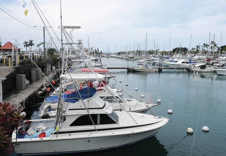
The emergency proclamation says the recovery could exceed county capacity and may require help from the state, federal government or other counties. That concern has particular weight in the Kona coffee belt, where later reporting said up to 500 farmers and residents may have lost their primary water sources and were depending on county spigots while inspectors and utility crews worked through the damage.
This article was produced by Prism’s automated news system from verified source data, official records, and press releases, then run through automated quality and moderation checks before publishing. The system is built and supervised by the people who set the standards it runs under. Read our full AI policy.
Did this article answer your question?