Hamakua trail proposal could link Hilo to Waipio on foot
A June 3 committee meeting pushed a Hilo-to-Waipio trail idea into feasibility-study territory, where land access, funding and maintenance will decide its fate.
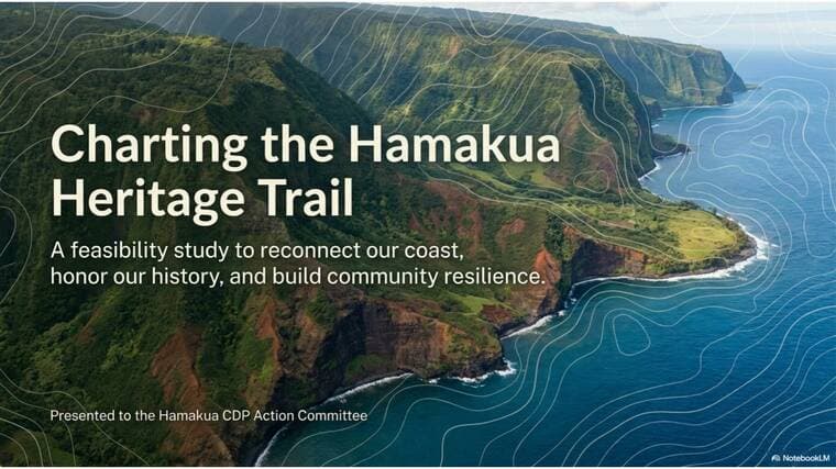
A trail from Hilo to Waipio would have to cross some of the steepest ground on the Hamakua Coast, and the first real test is not scenery but land access, funding and who would maintain it. Hawaii County Council member Heather Kimball brought that question to the Hāmākua Community Development Plan Action Committee at Honomu Gym, where the proposal was discussed as a Hāmākua Trails Program Review Feasibility Study.
The committee met June 3 from 5 p.m. to 7 p.m. at 28-1641 Old Mamalahoa Hwy in Honomu, with both in-person and Zoom participation options. In the agenda, Kimball was set to present an overview of the proposed route and ask for input on the scope of work, a sign the idea was moving toward a study before any construction could be considered. The county also says members of the public can request future Action Committee agenda items by emailing CDP@hawaiicounty.gov.
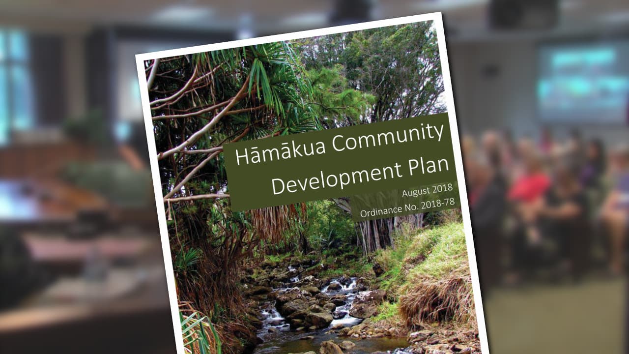
The proposal sits inside a county planning process built to handle more than road maps. Hawaii County says the Hāmākua Community Development Plan can include land-use amendments, policies, budgetary items, public-private partnerships and community-based implementation activities. Any trail corridor would likely need all of those pieces, along with agreements on easements, repairs, liability and long-term stewardship.
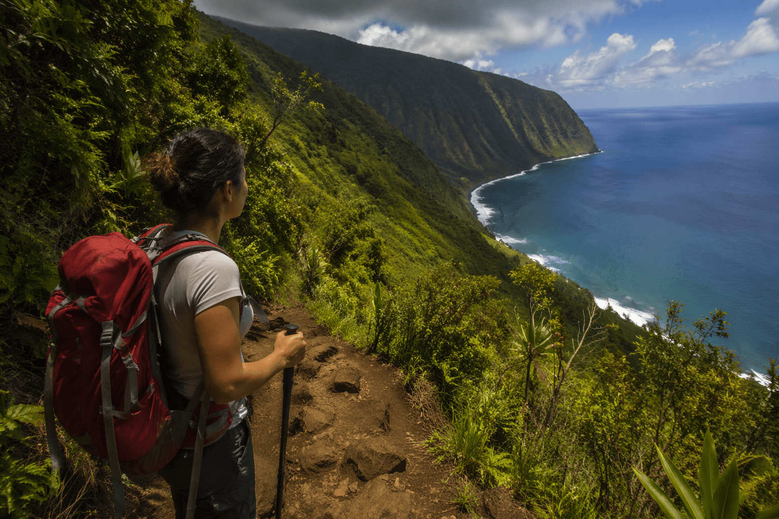
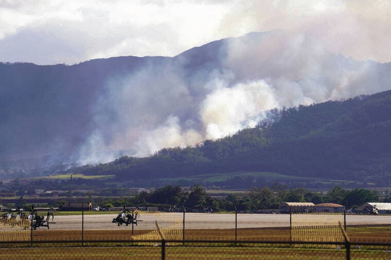
The challenge is not abstract. County shoreline materials warn that Hāmākua access points can involve rocks, hazardous terrain, strong currents, flooding and cliffs, and Waipio Valley is described as having hazardous currents, waves, flooding and cliffs. The county also notes that access to the valley floor includes private property from the valley floor to the beach area. The existing Muliwai Trail, which links Waimanu Valley and Waipio Valley Lookout, is described as an eighteen-mile, steep and rugged foot trail up the west cliff of Waipio Valley.
Any new route would also enter the state’s broader trail system. Nā Ala Hele, the State of Hawaii trail and access program, says it provides recreational opportunities, cultural-history and historic-trail experiences, and access for management, research, hunting and wildfire response. Its advisory councils bring together hikers, hunters, bikers, equestrian riders, off-highway vehicle users, Hawaiian cultural representatives or practitioners, fishers, environmentalists, affected landowners and other trail advocates, underscoring how many interests could shape a Hamakua corridor.
The timing of the discussion also follows another major public-access move on the Hilo-Hāmākua coast. In January 2026, the county spent $6.2 million through its Public Access, Open Space, and Natural Resources Commission program to buy the 81-acre Kawainui Makai property, which includes a pebble beach and a well-preserved estuary and is the first PONC purchase in the North/South Hilo area. County officials are exploring stewardship partnerships there, including with the Makahanaloa Fishing Association.
A 2020 Final Environmental Impact Statement for the proposed Kawainui-Hāmākua Master Plan said the project would support natural resource restoration, habitat enhancement, cultural practices, stewardship opportunities, public access for outdoor recreation and education, and resource management. That is the landscape Kimball’s trail idea now enters: a county already weighing access, conservation and community control, but still far from deciding whether a Hilo-to-Waipio foot path can become real.
This article was produced by Prism’s automated news system from verified source data, official records, and press releases, then run through automated quality and moderation checks before publishing. The system is built and supervised by the people who set the standards it runs under. Read our full AI policy.
Know something we missed? Have a correction or additional information?
Submit a Tip