Hawaiʻi County Closes Non-Emergency Services Friday, Saturday Amid Powerful Kona Low
Hawaiʻi County shut all non-emergency services Friday and Saturday as a Kona low drives blizzard-force gusts of 110 mph above Mauna Kea and flood threats across the island.
Hawaiʻi County has shut down all non-emergency services and operations through Saturday as a powerful Kona low batters the island with heavy rain, destructive winds, summit blizzard conditions, and widespread flooding threats that county officials warn could extend through March 17.
Mayor Kimo Alameda announced the closure covers all county offices and park facilities beginning at 6 a.m. Friday. "Our administration, working with our state and emergency management partners, has been closely monitoring this developing storm and we expect conditions to worsen Friday and through the weekend," Alameda said. "To protect public safety, and to give our residents time to prepare for what this storm could bring, non-emergency county operations will be closed from 6 a.m. Friday through Saturday."
Among the shuttered facilities are the Hilo Municipal Golf Course, Panaʻewa Rainforest Zoo and Gardens, and all solid waste facilities across the island. Camping permits at county parks are canceled from Friday through Monday morning, March 16.
Transit service is severely disrupted. All fixed-route Hele-On buses and Paratransit services are canceled Saturday. Friday cancellations and modifications can be checked on the Hele-On X page or by calling 808-961-8744, ext. 1. Riders who depend on paratransit can call 808-640-1020 for updates.
The National Weather Service, as of 4 p.m. Wednesday, had issued a flood watch through Saturday afternoon, a high wind watch running from Friday morning through late Saturday night, and a high wind warning for the summits. At lower elevations, southwest winds of 25 to 35 mph with gusts up to 60 mph are forecast. Above the summit threshold, conditions turn severe: southwest winds of 55 to 75 mph with gusts up to 110 mph, a winter storm warning, and projected snow accumulation of 12 to 18 inches on Mauna Kea and Mauna Loa. Some estimates put potential accumulation as high as two feet. Blizzard conditions are possible above 12,000 feet, and the Mauna Kea summit access road is closed. Hawaii Volcanoes National Park has also closed the Mauna Loa summit.
A High Wind Warning remains in effect for much of the state through early Sunday, with a Wind Advisory covering lower elevations of the Big Island. Heavy snowfall and icing are already occurring on both summits as colder air drawn into the Kona low's circulation interacts with the storm's moisture at elevations above approximately 11,000 feet.

Beyond the summits, the county's formal closure notice warned that flooding of roads, streams, drainages, and low-lying areas could produce debris flows and landslides as soils become saturated. Downed trees, severed power lines, and communication outages are expected from the wind. Power outages have already been reported affecting customers across the island, and Hawaiian Electric has urged customers to prepare for additional storm-related disruptions.
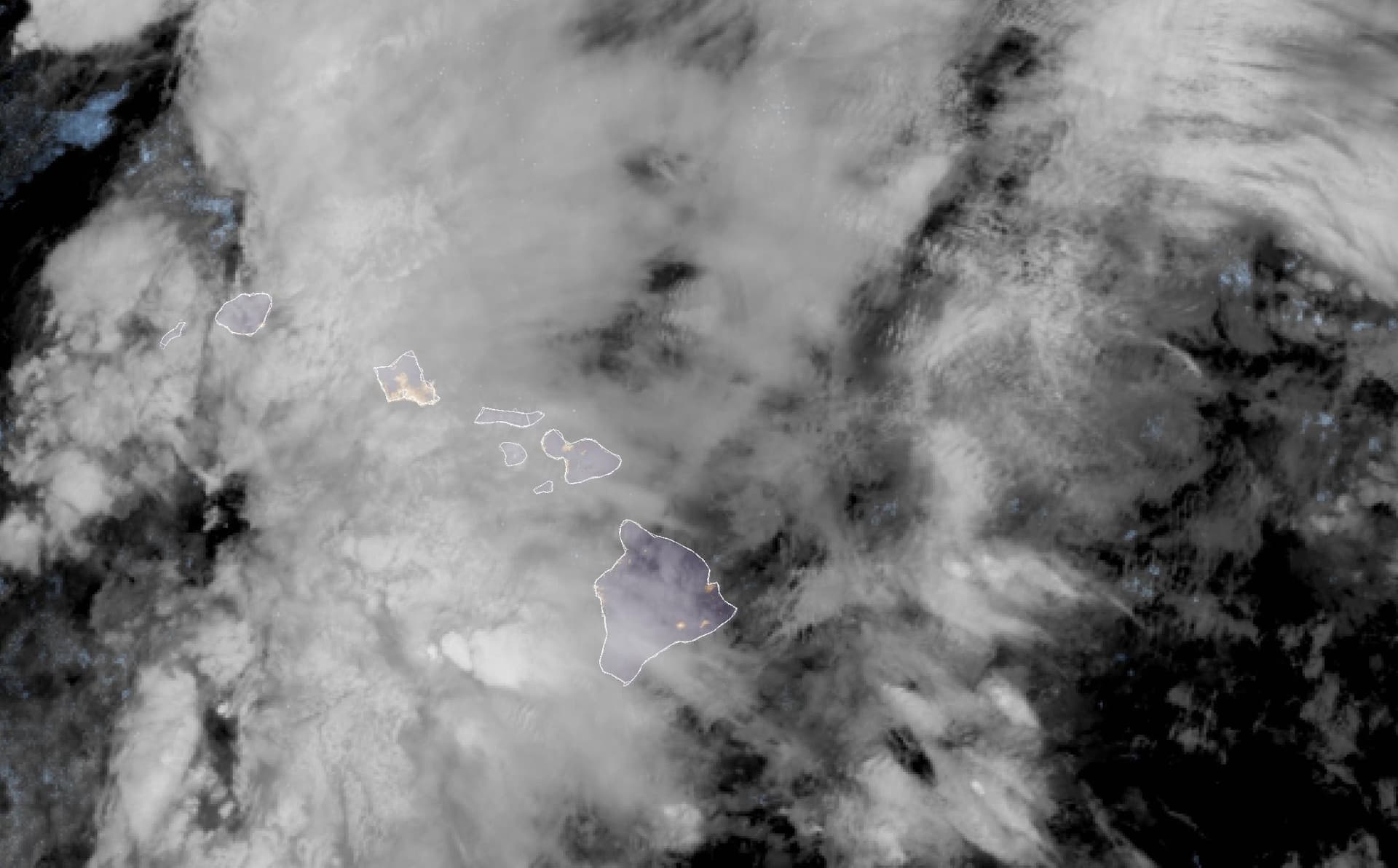
Kona lows, which develop west or southwest of the islands, are among the most significant severe weather patterns Hawaii faces outside of tropical cyclones. They move slowly and can simultaneously produce prolonged heavy rainfall, severe thunderstorms, hazardous marine conditions, and, when cold air rides the circulation high enough, snow and ice on the Big Island's volcanic summits. The current system remained northwest of the islands Friday morning while producing all of those hazards at once.
Governor Josh Green issued two emergency proclamations covering the statewide Kona low event on March 9. All Hawaii Department of Education public schools and HIDOE offices statewide closed Friday, with Green also recommending private schools follow suit.
Residents should avoid all nonessential travel and sign up for Hawaiʻi County Civil Defense alerts for real-time notifications. The county's Hazard Impact Map provides ongoing weather-related information, and the county has said updates will continue as conditions evolve. The forecast window for significant impacts runs through at least March 17.
Know something we missed? Have a correction or additional information?
Submit a Tip

