Kaloko-Honokōhau park shows how Native Hawaiians engineered fishponds
Kaloko-Honokōhau’s fishponds reveal a Hawaiian shoreline engineered for food, habitat, and stewardship, with lessons Big Island residents can still see on site.
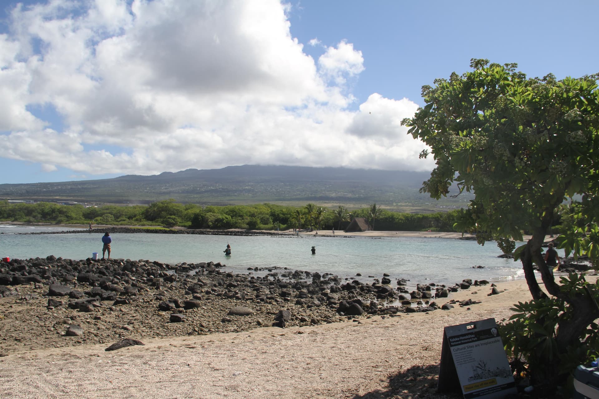
Kaloko-Honokōhau National Historical Park is not just a Kona shoreline with scenic views. On about 1,160 acres, roughly 3 miles south of Keāhole International Airport, it preserves the coastal sections of Kaloko and Honokōhau, two ahupuaa where Native Hawaiians turned surf, rock, and wetlands into a working food system. That is why the park matters now: its fishponds show how engineering and ecology were joined to feed communities, and why shoreline stewardship on Hawaii Island still carries cultural stakes.
A shoreline built for food, not just display
The clearest place to see that system is Kaloko Fishpond, where the kuapā, or seawall, shaped a stretch of ocean into a managed loko ia. The National Park Service says the wall reflects both the cultural importance of fishponds and the specific engineering and management skills developed in Kona. In practical terms, the design let seawater circulate while supporting controlled harvesting, which meant fishponds could produce food repeatedly instead of relying on a one-time catch.
That distinction matters on the Big Island because it turns the shoreline into infrastructure. Fishponds were not decorative features or isolated relics, but part of a food-and-water management system that tied land use to ocean conditions. Hawaii Pacific University Oceanic Institute materials say more than 400 fishponds were operating in the late 1700s and produced an estimated 2 million pounds of fish each year, a scale that helps explain why Kaloko-Honokōhau belongs in conversations about resilience and food security, not just archaeology.
What the park’s timeline shows
The park’s history stretches across major turning points in Hawaii. Park-history materials place a settlement in the area around 1200 CE and say Kaloko Fishpond was constructed then, anchoring the site in a long period of Native Hawaiian management. Honokōhau became a National Historic Landmark in 1778, and the area later absorbed the upheaval of the 19th century, when the kapu system was abolished in 1819 after Kamehameha I died and the Great Māhele altered land use and property patterns across Hawaii.
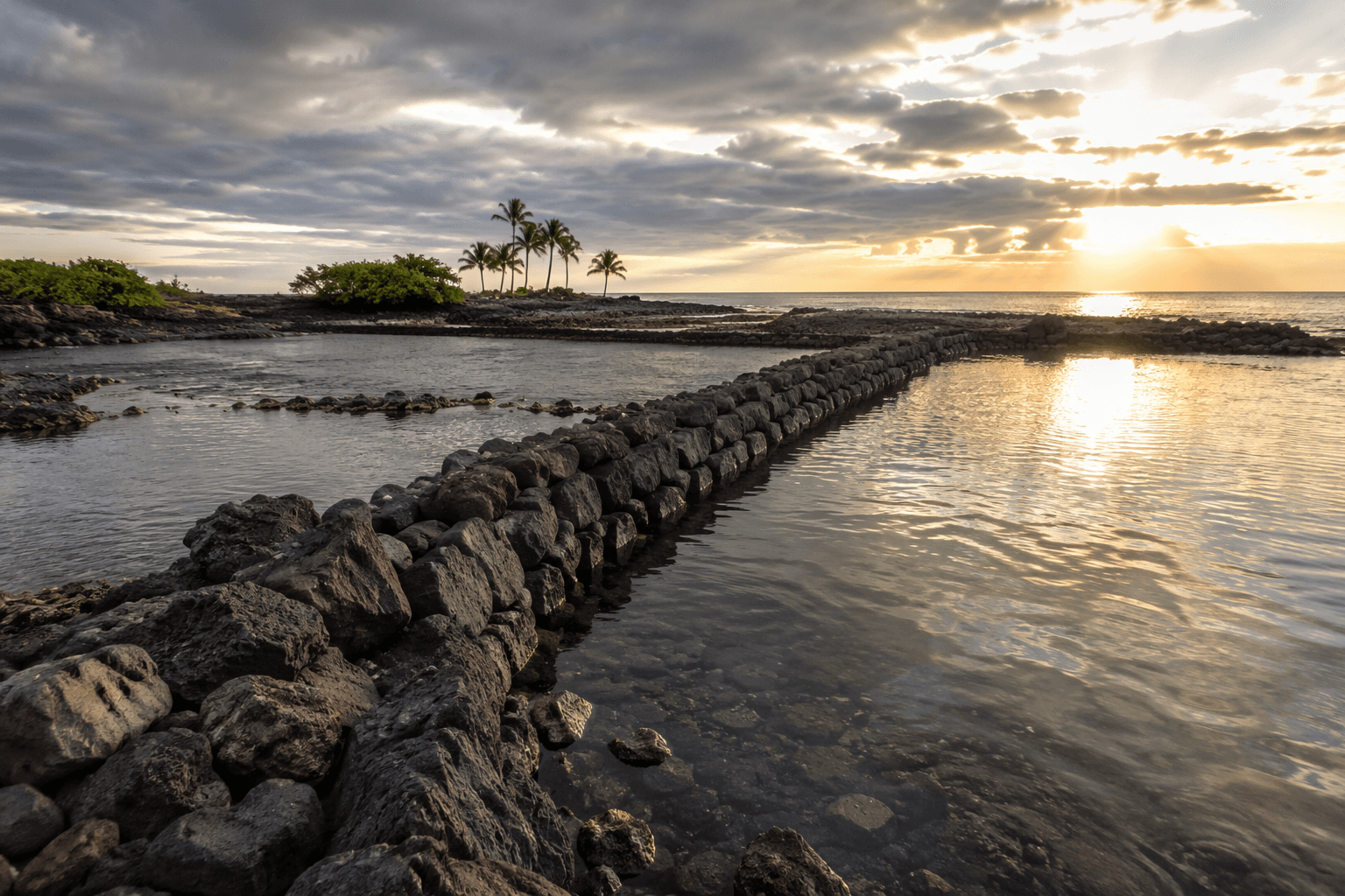
Those dates matter because they show that the fishponds survived layers of political and legal change. The park itself was established in 1978, but its value comes from what it preserved: the coastal sections of two traditional land divisions and the knowledge embedded in their walls, channels, and wetland edges. For readers standing at the site today, the timeline is visible in the landscape itself, from the ancient settlement patterns to the later pressures that reshaped Hawaiian land tenure.
‘Aimakapā shows adaptation, not a single template
Kaloko-Honokōhau also helps correct a common misunderstanding that all Hawaiian fishponds worked the same way. The park’s ‘Aimakapā Fishpond is described by the National Park Service as a naturally formed loko puuone that was modified and managed over time. That difference matters because it shows Hawaiian aquaculture responded to specific coastal conditions instead of forcing one design everywhere.
The park has treated ‘Aimakapā as a restoration and management priority, and planning materials include an ‘Aimakapā Fishpond Wetlands Restoration and Management Plan. That makes the site a living cultural landscape rather than a frozen exhibit. It also gives the park a present-day role in conservation, because restoration here is not separate from heritage. It is part of how the place remains legible as both habitat and cultural site.
Wildlife, wetlands, and what you can still see
The shoreline is also a wildlife corridor. Park bird materials identify the endangered Hawaiian stilt, or aeo, and the Hawaiian coot, or ‘alae keokeo, near the fishponds, while the park brochure says green sea turtles, or honu, live there year-round. A June 1998 technical report documented endangered waterbird and wetland status at the park, underscoring that these wetlands have long been recognized for their ecological importance.
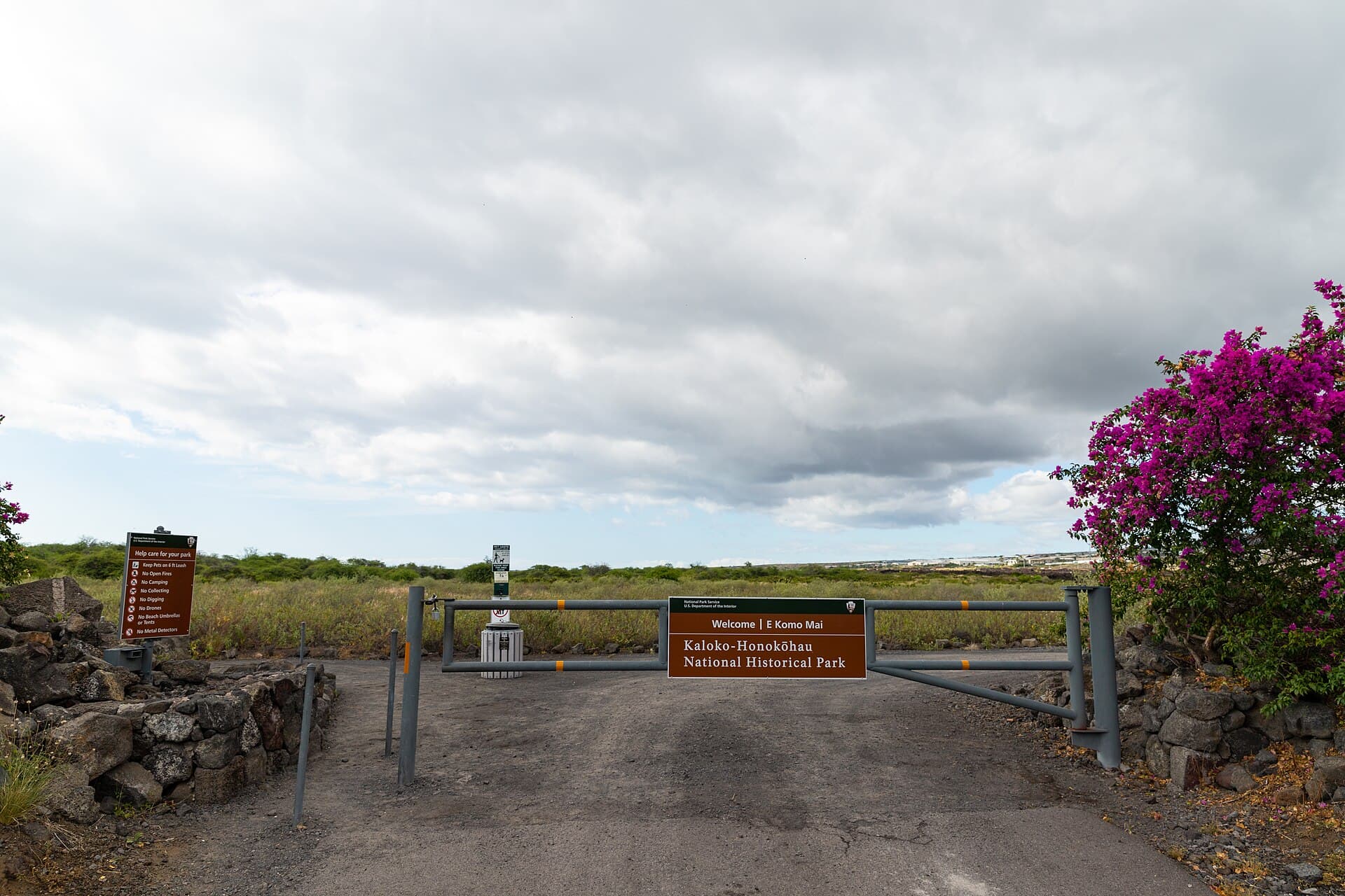
For visitors, those details are more than a checklist. They explain why a respectful visit matters. Staying on designated paths, avoiding disturbance to wildlife, and treating the fishponds as protected cultural places are not abstract etiquette rules here. They are the practical behaviors that keep a working historical landscape intact for the next person who comes to read it.
Why Big Island residents still learn from the park
Kaloko-Honokōhau is also one of the few places on Hawaii Island where the connection between shoreline stewardship and cultural preservation is easy to see in one walk. The fishpond walls show engineering. The wetlands show habitat management. The ahupuaa boundary helps explain how communities once linked uplands, coastlines, and ocean resources into a shared system.
That is why the site remains useful in today’s Big Island discussions about who gets to shape shorelines, how cultural sites are protected, and what counts as meaningful public access. The park draws 351,000 annual visitors, according to a Hawaii Pacific Parks Association page, and no entrance fee is charged. Those numbers matter because they make the site both widely used and broadly accessible, even as its cultural resources require careful handling.
A visit here can do something a textbook cannot: it lets you see how a seawall, a fishpond, and a wetland work together in one place. You can stand at Kaloko and understand that fishponds were engineered systems of food production. You can look toward ‘Aimakapā and see how a natural basin was adapted and managed over time. And you can leave with a clearer sense that Native Hawaiian shoreline design was not a relic of the past, but a sophisticated model for living with the coast on Hawaii Island.
This article was produced by Prism’s automated news system from verified source data, official records, and press releases, then run through automated quality and moderation checks before publishing. The system is built and supervised by the people who set the standards it runs under. Read our full AI policy.
Did this article answer your question?