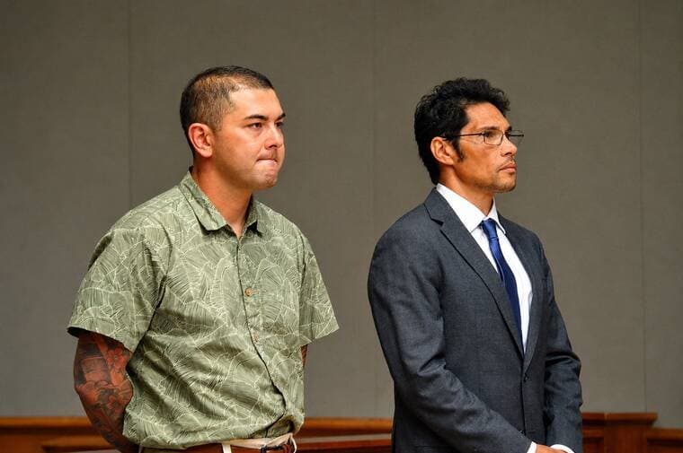
Teams assess South Kona quake damage for possible federal aid
South Kona damage reports have already reached 207, and the joint assessment now underway could open the door to federal aid for homes and roads.

South Kona families waiting on roof repairs, catchment fixes and road access now have the clearest path yet to outside help: federal, state and county teams are walking damaged properties to decide whether Hawaii Island can justify a disaster declaration. The Joint Preliminary Damage Assessment, led by the Hawaii Emergency Management Agency, FEMA and the County of Hawaii, is the step that turns local damage reports into the evidence the governor needs before asking Washington for aid.
The quake that set all of this in motion struck at 9:46 p.m. on May 22 as a magnitude 6.0 event about 7 miles south of Hōnaunau-Nāpōopoo, at a depth of roughly 14 miles below sea level. The U.S. Geological Survey said the shaking reached Modified Mercalli Intensity VII, with more than 2,662 felt reports submitted within the first hour, and that the temblor was caused by bending of the oceanic plate under the weight of the Hawaiian Islands, not volcanic activity. USGS also said Mauna Loa and Kīlauea showed no apparent impact.

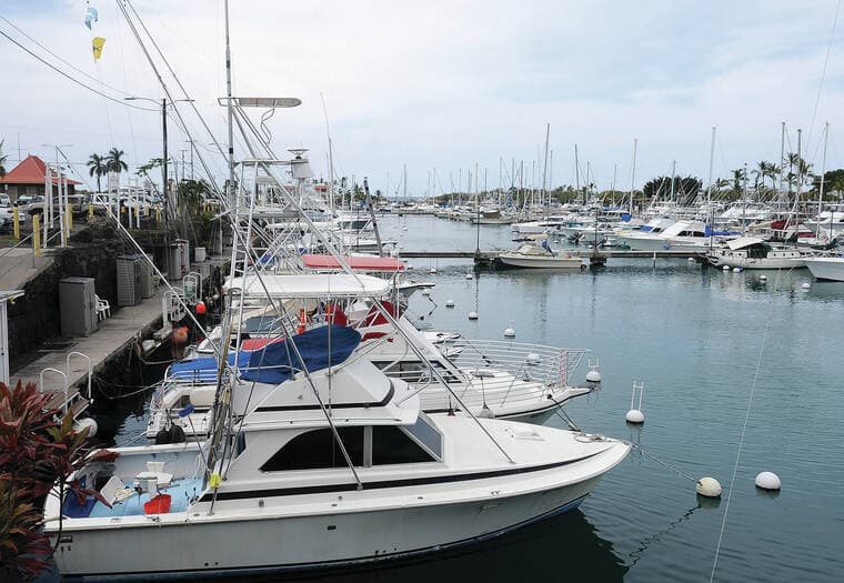
On the ground, the damage picture has widened beyond cracked walls. State officials said Hawaii Department of Transportation crews cleared landslides on Highway 11 between Captain Cook and Ocean View and on Nāpōopoo Road in Captain Cook, while county proclamation materials said Civil Defense had already received about 207 damage reports concentrated in Kaū, North Kona and South Kona. Those reports included substantial damage to residential structures and to residential, commercial and agricultural water catchment systems, along with impacts to public facilities. The American Red Cross said its disaster assessment teams entered the hardest-hit communities between Hōnaunau-Nāpōopoo and Kona Paradise the day after the quake to begin evaluations and deliver support.
For residents trying to qualify for help, documentation now matters as much as the damage itself. FEMA says to photograph and video all damage inside and outside the property before cleanup, make a list of losses, and file insurance claims promptly. Inspectors may ask for photo identification, proof of ownership or occupancy, a list of household occupants, all disaster-caused damage, and the insurance policy. FEMA says receipts for repairs, photos of damaged items and other supporting documents can strengthen a claim, and that individual assistance is aimed at households while public assistance supports communities and public infrastructure.

The threshold now is whether the verified damage is severe enough that county and state resources are not enough on their own. FEMA says a joint preliminary damage assessment is used to determine the magnitude of damage, the unmet needs of individuals, businesses, the public sector and the community, and to support the governor’s request for federal disaster assistance. Hawaii officials are moving with urgency because they know what a Big Island earthquake can do: the 2006 Kīholo Bay quake brought tens of millions of dollars in damage, injured 48 people, destroyed three homes and caused major damage to 53 homes and seven schools.
This article was produced by Prism’s automated news system from verified source data, official records, and press releases, then run through automated quality and moderation checks before publishing. The system is built and supervised by the people who set the standards it runs under. Read our full AI policy.
Did this article answer your question?