Wind Advisory Through Tuesday 6 a.m.; Two Big Island Beach Parks Closed
A wind advisory covered the islands through Tuesday 6 a.m.; Kahaluʻu Beach Park and Mahukona Wharf remained closed for high surf and debris, with strong gusts and minor coastal flooding possible.

A Wind Advisory from the National Weather Service in Honolulu covered the Hawaiian Islands through Tuesday at 6 a.m., bringing strong winds and marine hazards that closed Big Island shoreline facilities and pushed debris onto roads and campsites. The NWS warned that “south to southwest winds of 20 to 30 mph with gusts up to 50 mph are expected,” heightening risk for low-lying coastal areas and mariners.
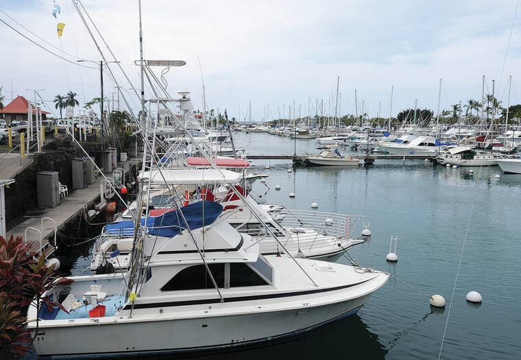
Hawai‘i County officials advised that Kahaluʻu Beach Park and Mahukona Wharf remain closed because of high surf. County Parks and Recreation also closed Kohanaiki Beach Park and said Kahaluʻu and Kohanaiki would remain shut through the weekend of Jan. 31 to Feb. 1, while Mahukona Wharf “will remain closed as long as the surf continues to come up onto the wharf.” At Laaloa Beach Park (Magic Sands), Ocean Safety recommended a closure and said it would monitor conditions before authorizing reopening.
Marine alerts accompanied the wind advisory: a Small Craft Advisory covered all nearshore coastal waters and a Gale Warning applied to waters more than 40 nautical miles offshore. The NWS cautioned that vulnerable infrastructure includes “low-lying coastal roadways, docks, boat ramps and other coastal infrastructure of all islands,” and Hawaii News Now advised readers to “Be on the alert for flood advisories.”
Coastal flooding and high surf were immediate local concerns. The NWS wording noted that “Isolated minor coastal flooding is in effect through Tuesday morning. Flooding is expected around the daily peak tides in the early morning hours between midnight and sunrise.” KHON2 reported that surf continues to push debris onto roadways, parking lots and shoreline areas, and that “Surf came through the campsites, and debris will need to be cleared in the park and across the road. All permit holders have been notified.”

The wind shift and an approaching front also produced a brief window of heavier showers. Hawaii News Now described the front as producing a relatively narrow band of rain that may be intense but brief, with showers increasing across the islands on a staggered schedule: midday on Kauai County, mid‑afternoon on Oahu, evening on Molokai and Lanai, around midnight on Maui and early Tuesday morning on the island of Hawaii. Forecasters said showers from the front will likely be heaviest during nighttime hours.
A social media post carried a zone-specific NWS notice saying a Wind Advisory for portions of Molokaʻi and Maui was “in effect until midnight,” a discrepancy that can occur because advisories are issued by zone with differing expiration times. Ocean Safety officials urged caution for beach‑goers, swimmers and surfers, saying “Ocean Safety officials are urging beach‑goers, swimmer and surfers to use extreme caution and follow all posted warnings.”
For residents and visitors, the immediate steps are clear: avoid closed parks and wharves, heed Ocean Safety and county postings, and expect hazardous shore break and strong currents along West Hawai‘i, South Kohala and North and South Kona. Check current NWS zone products and county updates for reopening times and any additional closures; crews will be clearing debris where surf entered campsites and roadways. This episode underscores the seasonal power of winter swells and frontal winds and the need for local vigilance through the early morning high‑tide window.
This article was produced by Prism’s automated news system from verified source data, official records, and press releases, then run through automated quality and moderation checks before publishing. The system is built and supervised by the people who set the standards it runs under. Read our full AI policy.
Did this article answer your question?