Broward County faces thunderstorms, lightning and weekend heat risk
Broward faced another round of afternoon storms, with gusty winds, lightning and major heat risk pressing through the weekend.
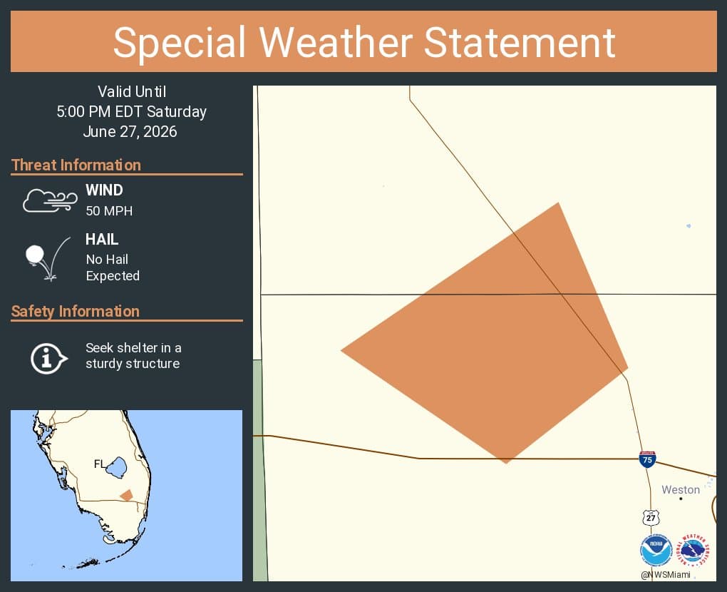
Broward County was under a special weather statement until 5 p.m. Friday, with scattered thunderstorms expected to keep popping up through the rest of the weekend, bringing gusty winds, frequent cloud-to-ground lightning and a growing heat threat.
The weather pattern mattered most in the afternoon and evening, when storms were expected to flare again after midday heat built across South Florida. That put Fort Lauderdale, Hollywood, Pembroke Pines, Weston and Pompano Beach in the window for fast-moving storms that can disrupt school camps, outdoor work crews and family plans long before rain totals look impressive on a radar screen.

The National Weather Service expected moderate to major heat-risk impacts through the weekend, and its heat forecast guidance begins alert procedures when the heat index is expected to exceed 105 to 110 degrees for at least two consecutive days. With another hot day forecast for Sunday, June 28, Broward residents faced a two-part hazard: dangerous lightning outside and heat stress that can build quickly in the afternoon sun.
Heavy rain and high tides can both cause flooding because drainage systems may reach capacity when rainfall is intense or when downstream sea levels limit stormwater outflow. Low-lying coastal areas can face king-tide flooding, a concern for neighborhoods near the Intracoastal Waterway and other flood-prone sections of the coast. A June 26 thunderstorm alert for northern Miami-Dade and Broward counties forecast wind gusts of 45 to 50 mph and pea-size hail, and a June 15 alert for central Broward forecast 45 to 50 mph gusts. Hurricane season runs from June 1 through November 30, and Broward County’s parks use lightning prediction systems at 19 parks and nature centers. The county’s alert system is reserved for major emergencies such as hurricanes, evacuations, curfews and shelter openings. The recent record of severe weather and flooding declarations included actions on June 13, 2024, and April 13, 2023.
This article was produced by Prism’s automated news system from verified source data, official records, and press releases, then run through automated quality and moderation checks before publishing. The system is built and supervised by the people who set the standards it runs under. Read our full AI policy.
Did this article answer your question?