How railroads and drainage shaped Broward County’s 1915 creation
Broward County began as a railroad and drainage project, split from Dade and Palm Beach in 1915 and named for Napoleon B. Broward. That engineered landscape still shapes daily life.
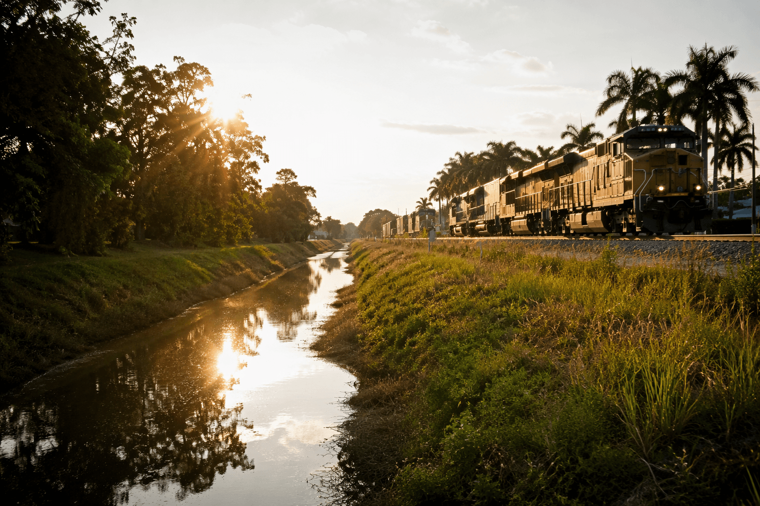
Broward County did not simply emerge on a map, it was built by access, land change, and a 1915 political redraw that still defines where people live and move today. The first train reached the New River on Feb. 22, 1896, and less than two decades later Broward was carved from Dade and Palm Beach counties, creating a new county around a corridor that would become Fort Lauderdale and its surrounding cities.
Rails opened the ground
Henry M. Flagler extended the Florida East Coast Railway south after learning that Miami had been spared by the great freeze of February 1895. That decision turned a difficult, remote stretch of South Florida into a place that could be reached, supplied, and settled with far less friction than before. When the first train arrived at the New River in 1896, it marked the start of a development pattern that still reads clearly in Broward’s coastline, highway grid, and rail-adjacent neighborhoods.
The county’s own history describes the region as once considered “unfit for human habitation,” a blunt reminder of how much the land itself had to change before the modern county could exist. Transportation made people able to arrive; drainage and later land transformation made large parts of the county usable for homes, roads, and commercial districts. That pairing, rail plus drainage, is the foundation of Broward’s suburban geography.
The county line was drawn in 1915
Broward County was established on April 30, 1915, as Florida’s 51st county. It was formed from portions of Dade and Palm Beach counties and named for former Florida governor Napoleon Bonaparte Broward, who served from 1905 to 1909. The county’s official history, the Broward County Historic Preservation Board, and the Florida County Formation Dates appendix all point to the same date and parent counties, underscoring how deliberately the county was assembled.
That split was not just a bureaucratic footnote. Palm Beach County’s history materials note that a 1904 map showed how large Dade County was before Broward and Palm Beach were founded, which helps explain how South Florida’s present-day county boundaries came out of a much larger, thinnerly populated map. Palm Beach County later lost another piece when a northwestern portion became Okeechobee County in 1917, showing that county lines in this part of Florida were still being revised as settlement expanded.
Broward started small
When Broward County formed in 1915, its population was 4,763, according to the county’s centennial materials. By the 1920 Census, that number had only reached 5,135 residents. In 1920, the tri-county area had a population of 66,542, less than 7% of Florida’s total population, which shows how young and lightly populated the region still was just after Broward’s creation.
That small base matters because it explains the county’s later growth pattern. Broward did not grow from one old inland town into a county around it; it was organized around access points, drainage works, and planned development. The result was a county that could absorb rapid growth across the coast and inland without inheriting the same historic settlement pattern seen in older Florida counties.
Why Broward looks the way it does now
Broward County history materials say the county today is home to nearly two million people and is a winter residence for tens of thousands more. That scale sits on top of the same framework created by the railroad and the county split, which is why Broward’s neighborhoods, business corridors, and municipal lines feel so engineered. Fort Lauderdale, Hollywood, Pompano Beach, Plantation, Coral Springs, and the western communities all grew from that combination of transportation access and large-scale land transformation.
The county’s modern shape also explains why Broward functions differently from neighboring counties. Its growth was not left to a single historic port, courthouse town, or agricultural center; it was distributed through rail-linked and drainage-enabled development that allowed cities to spread along the coast and farther inland. That is why Broward’s daily life is organized around wide corridors, canal crossings, and planned suburban grids, while the county line itself remains a record of an earlier moment when South Florida was being divided, drained, and connected at the same time.
Napoleon B. Broward’s name remains on the county, but the larger legacy is the one that residents use every day: roads laid where access was engineered, neighborhoods built where land had been made workable, and a county identity formed by the railroad that reached the New River before the county even existed.
This article was produced by Prism’s automated news system from verified source data, official records, and press releases, then run through automated quality and moderation checks before publishing. The system is built and supervised by the people who set the standards it runs under. Read our full AI policy.
Did this article answer your question?