Saharan dust keeps Broward dry for now, rain chances rise later
Broward was under a Heat Advisory as Saharan dust kept skies hazy and dry, but forecasters said rain chances would climb late in the week.
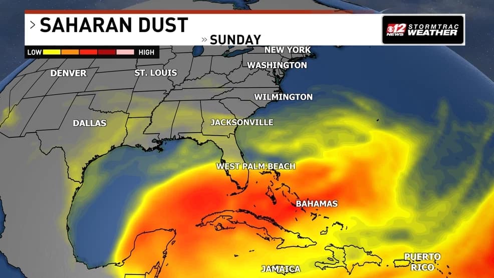
Broward County was under a Heat Advisory as the National Weather Service Miami forecast office updated its map Monday at 12:44:44 p.m. EDT, with Saharan dust still muting rain chances across South Florida. The same dust that left the sky hazier than usual also helped keep the region mostly dry, but forecasters said the calmer stretch would not last.
CBS News Miami said in a July 15 weather report that Saharan dust was keeping South Florida mostly dry and that rain chances would increase later in the week. A CBS Miami forecast video that day said the dust was keeping the region mostly dry while temperatures continued to skyrocket, and a separate forecast from July 7 said Saharan dust would bring drier, hotter conditions to South Florida. Another CBS Miami forecast said rain chances would increase entering the weekend as the dust leaves South Florida.
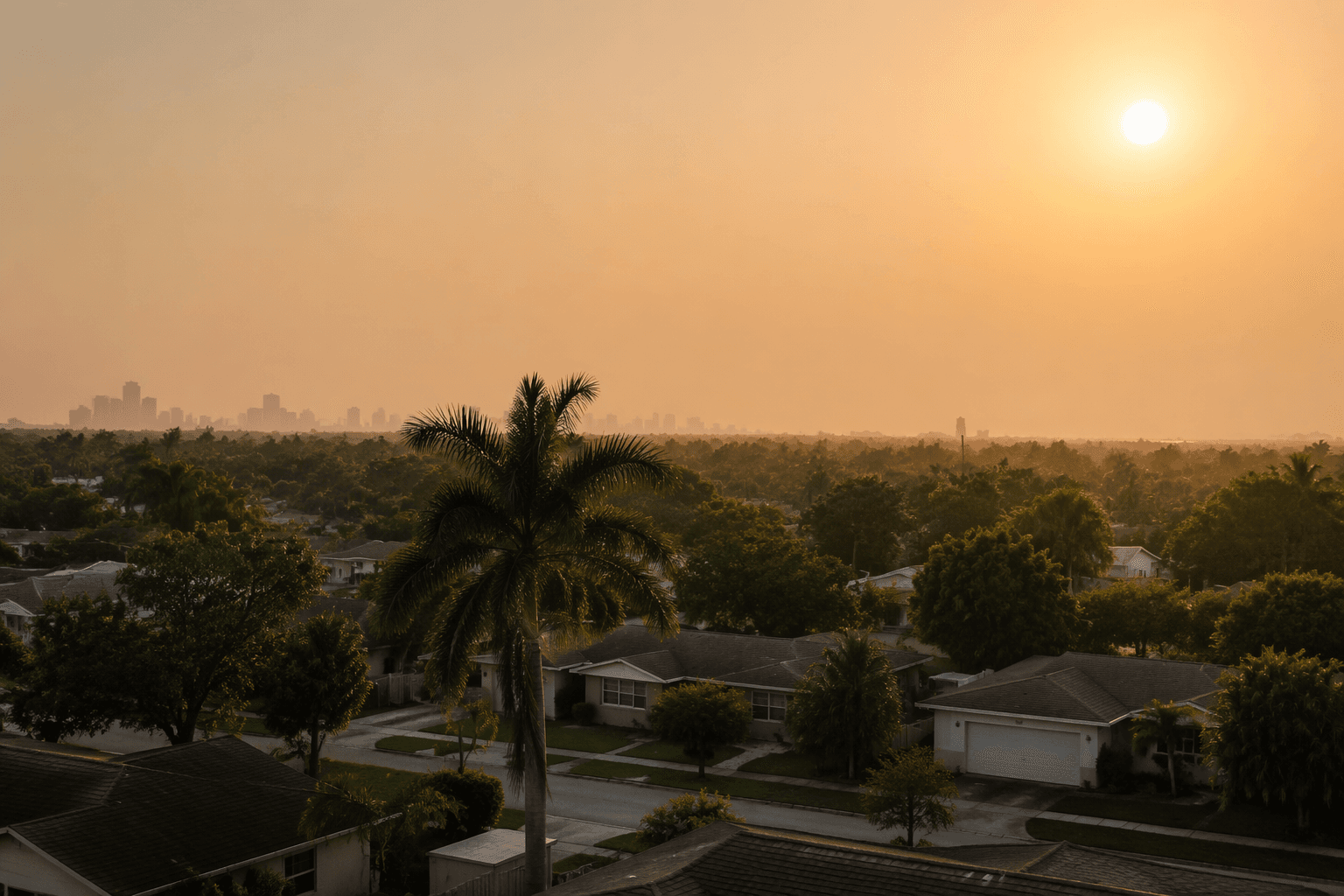
The National Weather Service Miami MapClick page listed a Heat Advisory in effect from July 20 at 11:00 a.m. EDT and said severe drought conditions had expanded eastward into far western metro areas of Broward and Miami-Dade counties. For Broward residents, that means the dry stretch is doing more than just delaying showers: it is arriving with hotter afternoons, stronger sunshine and reduced visibility from haze before the weather pattern turns wetter again.
That shift matters because South Florida can flip from dry and hazy to stormy in a short span. Once moisture returns late in the workweek and into the weekend, pop-up thunderstorms, localized heavy rain and lightning can arrive fast enough to disrupt commutes, beach plans and outdoor events, then leave roads briefly flooded before moving on. The timing is especially important for people planning Friday and weekend activities across Fort Lauderdale, the western suburbs and the county’s coastal areas.
Fox Weather said Saharan dust plumes can travel more than 5,000 miles from Africa, and that the Saharan Air Layer can reduce tropical activity across the Atlantic Basin. It also said the base of a dust plume is typically about a mile above Earth’s surface and can be a couple of miles thick, while affecting air quality and creating vibrant sunrises and sunsets. In Broward, that means the haze now and the showers later are part of the same summer pattern: drier air first, then a quick return to the usual afternoon storm cycle once the dust clears.
This article was produced by Prism’s automated news system from verified source data, official records, and press releases, then run through automated quality and moderation checks before publishing. The system is built and supervised by the people who set the standards it runs under. Read our full AI policy.
Did this article answer your question?