Strong thunderstorms, hail threaten Asheville and central Buncombe County until 3:45 pm
A thunderstorm was over downtown Asheville at 3:02 p.m., with 40 mph gusts and half-inch hail threatening central Buncombe County communities through 3:45 p.m.

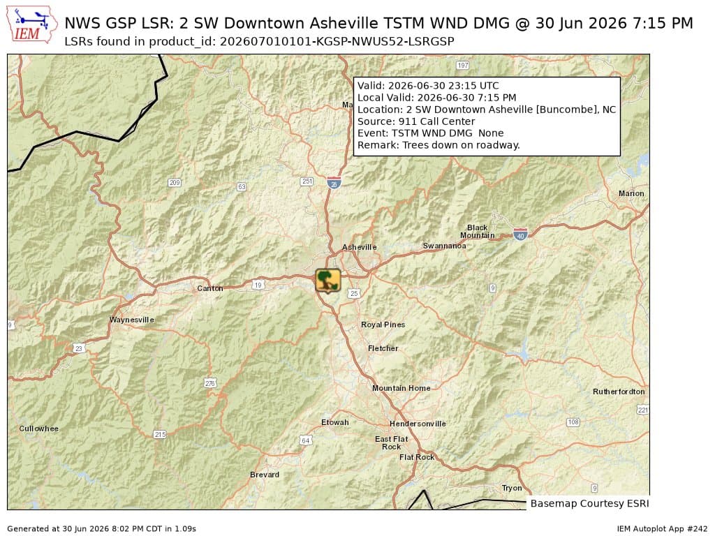
Strong thunderstorms swept across central Buncombe County Tuesday afternoon, with radar showing a storm over downtown Asheville at about 3:02 p.m. and forecasters warning of wind gusts up to 40 mph and hail as large as one-half inch through 3:45 p.m.
The special weather statement covered Asheville, Black Mountain and Woodfin, and also named East Asheville, West Asheville, North Asheville, Swannanoa, Weaverville, Biltmore Forest and Fairview. The storm was moving northeast at about 15 mph, putting a broad swath of the county in the path of brief but disruptive weather.

Forecasters said the main concern was not just lightning and heavy rain, but the kind of fast-moving weather that can change plans in minutes. Gusty winds could knock down tree limbs and blow around unsecured objects, while the hail raised the possibility of minor damage to cars, patio furniture, outdoor displays and other exposed property. For drivers crossing downtown Asheville, the eastern side of the city, or mountain roads near Black Mountain and Weaverville, the timing meant a short window to slow down, turn on headlights and avoid parking under trees.
The Buncombe County forecast called for a chance of showers and thunderstorms in the morning, then showers and thunderstorms in the afternoon, with highs in the upper 70s and a chance of rain near 100 percent. The National Weather Service Greenville-Spartanburg office said the wet and cool pattern would continue through the Memorial Day holiday weekend, keeping the region unsettled after the afternoon storm passed.
That longer stretch of rain matters as much as the immediate burst of wind and hail. Repeated rounds of showers can keep ground saturated, make low-lying roads slick and increase the chance of falling branches from already stressed trees across Asheville, Woodfin and nearby communities. For anyone planning outdoor work, school pickups, errands or events, the storm was a reminder that even a short-lived cell can bring abrupt delays, scattered debris and the first signs of outage risk in central Buncombe County.
This article was produced by Prism’s automated news system from verified source data, official records, and press releases, then run through automated quality and moderation checks before publishing. The system is built and supervised by the people who set the standards it runs under. Read our full AI policy.
Did this article answer your question?