Severe thunderstorm warnings issued for Cleveland, Bolivar counties overnight
Overnight warnings covered Cleveland and Bolivar County as storms pushed toward Rosedale, Renova, Shelby and Shaw, with the Weather Service urging residents to shelter fast.
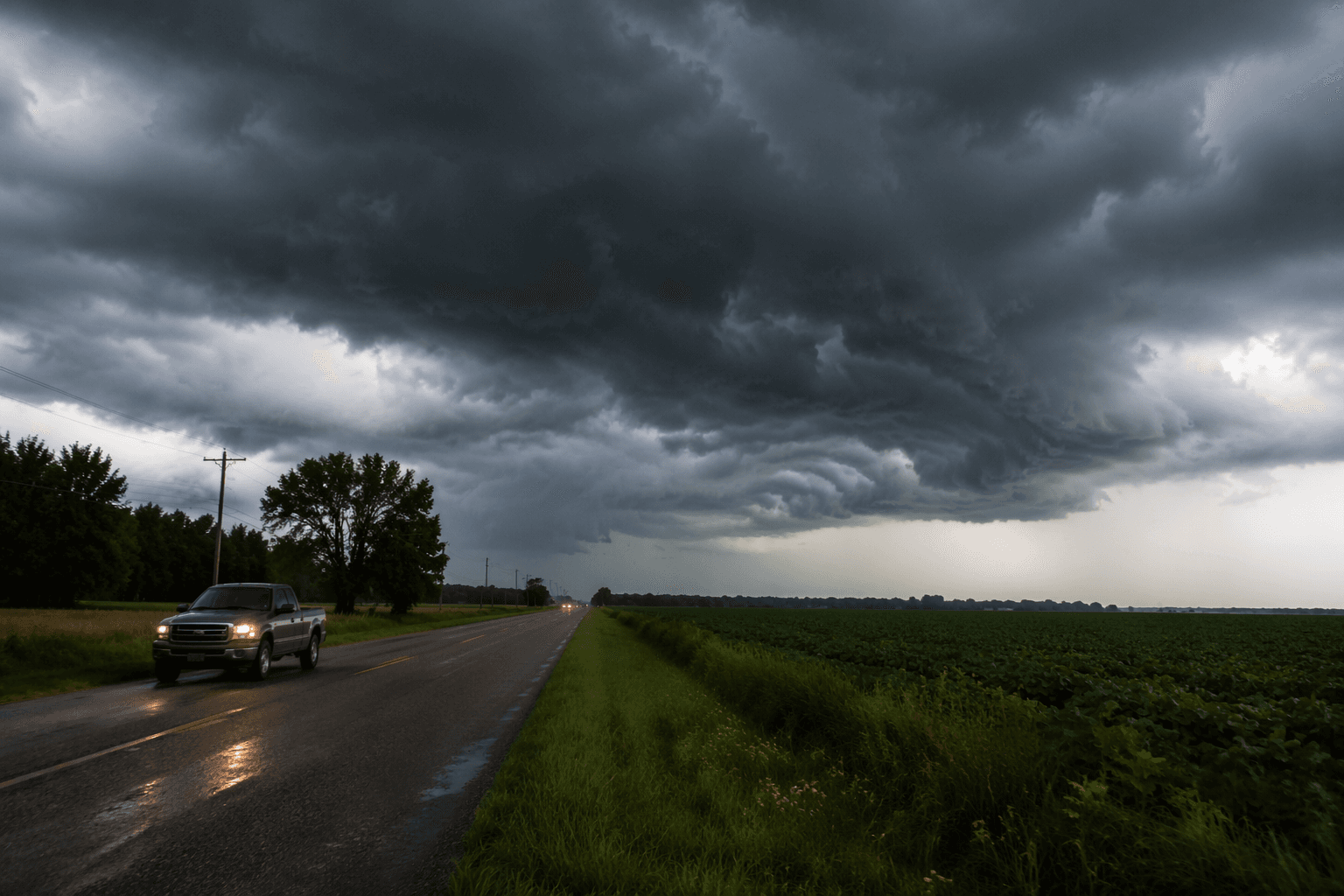
Cleveland and nearby Bolivar County communities were under severe thunderstorm warnings overnight as the National Weather Service in Jackson warned that dangerous storms could move through before daybreak, with alerts running until 1:45 a.m. and 2:45 a.m. CDT. The warning area included Rosedale, Renova, Shelby and Shaw, and forecasters said the storms could turn severe quickly enough to require immediate shelter in a strong building.
The threat had been on the map since June 1, when the Jackson forecast office said isolated to scattered severe thunderstorms were possible from the afternoon into the night. That outlook carried a Slight Risk across northern Mississippi and a Marginal Risk over central and southern portions of the state, while heat index values were expected to peak near 105 degrees. That combination raised the stakes for anyone trying to get home late, keep overnight plans, or make an early-morning drive across Bolivar County.
NWS Jackson’s severe-weather guidance is blunt about what a warning means: “Take Action.” The office says a severe thunderstorm warning means severe weather is occurring or will occur shortly, and people should shelter in a strong building immediately. The Weather Service also notes that severe thunderstorms can happen any time of year, even though March, April and May are the most common months. Its severe-weather product system uses watches, warnings and follow-up statements for tornadoes, severe thunderstorms and flooding to push out updates as storms evolve.
For Cleveland and the surrounding Delta, overnight timing matters. Storms that roll through while people are asleep can leave behind downed limbs, scattered power problems and slower travel by sunrise, especially if the strongest cells reach the area near the end of the warning window. Bolivar County has faced damaging weather before, including a tornado on Jan. 22, 2012, and another severe-weather event on Jan. 29 and 30, 2013, underscoring how quickly spring and summer storms can disrupt normal routines. The Weather Service is also tracking 2026 tornado damage surveys and storm impacts as this season unfolds.
This article was produced by Prism’s automated news system from verified source data, official records, and press releases, then run through automated quality and moderation checks before publishing. The system is built and supervised by the people who set the standards it runs under. Read our full AI policy.
Know something we missed? Have a correction or additional information?
Submit a Tip