Mammatus clouds over North Texas signal weekend supercell threat to Collin County
Pouch-like mammatus clouds marked the supercell that raced from Wichita County to Kaufman County, while Collin County sat inside a tornado watch.
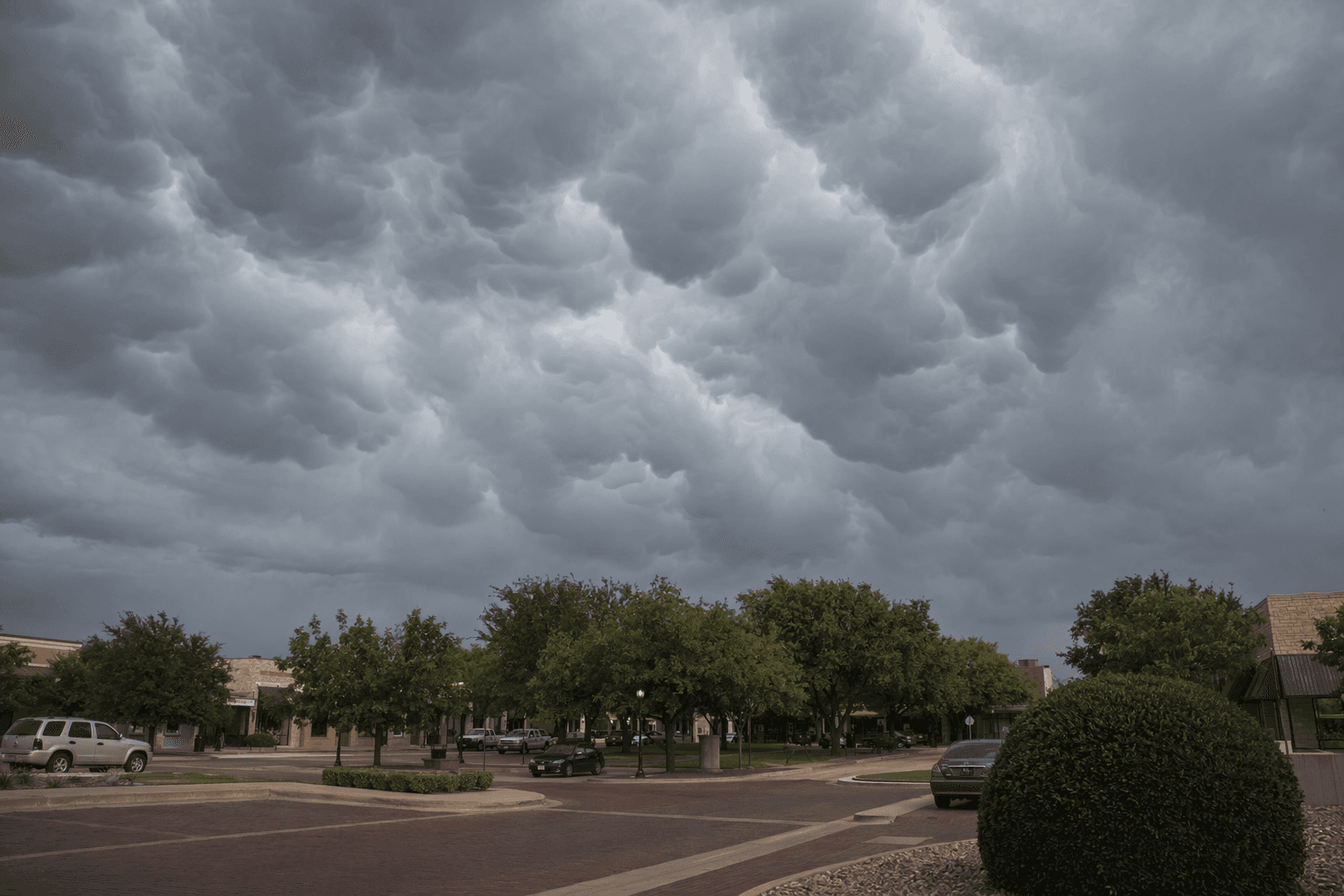
Residents who looked up over North Texas saw the kind of storm cloud that stops traffic and fills phones with photos, but the bigger story was the system beneath it. Veteran meteorologist Collin Myers reported mammatus clouds under a supercell in Jack County, a striking sign of a powerful thunderstorm that pushed across the region and kept Collin County inside the broad severe-weather threat.
The storm that spawned the display formed in Wichita County around 4 p.m. Saturday, April 26, 2026, then broke through the capping inversion and intensified quickly. It moved southeast through North Texas for nearly 12 hours before dissipating around 3:30 a.m. Sunday, April 27, in Kaufman County. That long track mattered for Collin County because the same storm environment spread well beyond the storm core, bringing severe-weather alerts into the northern part of the Dallas-Fort Worth metro area.
A tornado watch issued early Sunday included Collin County, along with Cooke, Dallas, Delta, Denton, Fannin, Grayson, Hopkins, Hunt, Lamar and Rockwall counties. The watch underscored the risk to communities that were not directly under the most intense part of the storm line but were still close enough to face changing conditions fast, especially overnight when visibility drops and warning times can feel shorter.
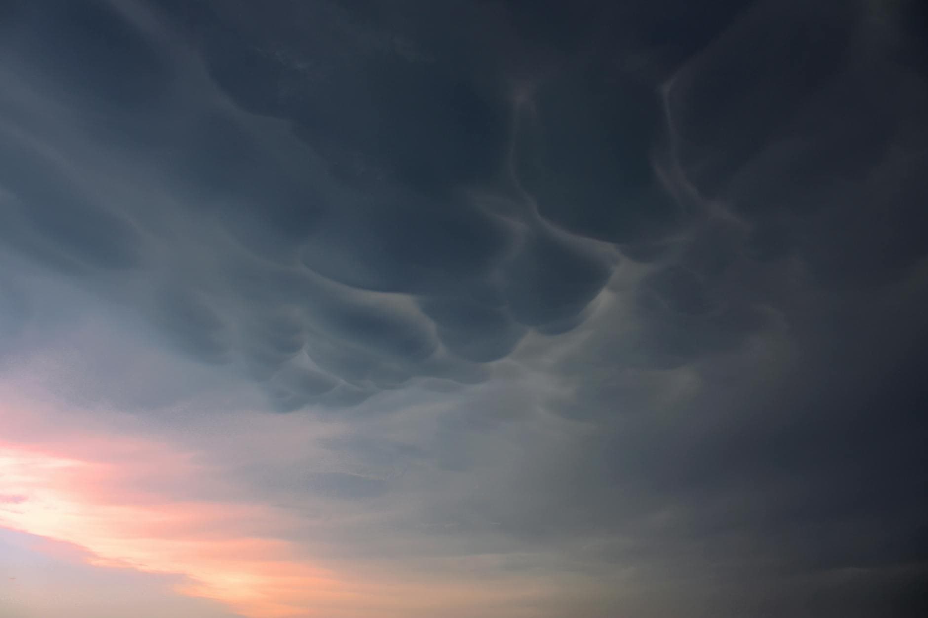
CBS Texas reported more than 100 storm reports from the weekend outbreak, including wind, hail and tornado damage. Among the confirmed tornadoes were an EF-2 in Runaway Bay with peak winds of 135 mph and an EF-1 in Springtown. Those numbers show why dramatic cloud photos need a sober read: mammatus clouds are typically associated with cumulonimbus storms and severe weather, but the clouds themselves are not the hazard. The danger comes when the thunderstorm beneath them starts producing large hail, damaging winds or tornadoes.
North Texas has a deep severe-weather history, and the National Weather Service office in Fort Worth tracks past event summaries and tornado climatology for the region. For Collin County, that history is the reminder that a storm sky can be beautiful and dangerous at the same time, and that shelter decisions should follow watches and warnings, not the view from the driveway.
This article was produced by Prism’s automated news system from verified source data, official records, and press releases, then run through automated quality and moderation checks before publishing. The system is built and supervised by the people who set the standards it runs under. Read our full AI policy.
Did this article answer your question?