Who was James Coryell? County namesake helped settle frontier Texas
James Coryell gave the county its name, but his lost grave near Bull Hill is the real map to Coryell County’s frontier origins and preservation stakes.
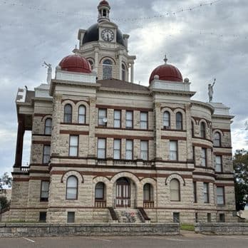
James Coryell’s statue stands in the Coryell County Courthouse rotunda in Gatesville, but his grave was never recorded. His name sits on the county map, and Bull Hill ties the story back to the land where he lived, fought, and died.
From Ohio to the Leon River country
James Coryell was born near West Union, Ohio, in 1803 and left home at 18. By 1831, he had reached Texas, then a frontier region where settlement, land claims, and military protection were all still being sorted out. He first turned up in the orbit of major frontier figures when he joined James and Rezin P. Bowie on an expedition to the San Saba region in search of silver mines, then later lived with the Cavitt family at Sarahville de Viesca near Fort Milam.
By 1835, Coryell was exploring the Leon River country and applying for a land grant in what is now Coryell County. He was part of the earliest documented settlement story in the same landscape that later became the county that bears his name.
A frontier life ended in violence
Coryell spent time in several of the most exposed corners of the Republic-era frontier. During the spring and summer of 1836, he served as a private in Robertson’s Ranger company, then later joined Capt. Thomas H. Barron’s Ranger militia to help protect roughly 200 settlers at Sarahville.
On May 27, 1837, Coryell and two other Rangers were raiding a bee tree near the fort when they were attacked by Caddo Indians. His companions escaped, but Coryell was shot and scalped. Men from the fort found him still alive, but he died two days later and was buried nearby.
Why Bull Hill matters now
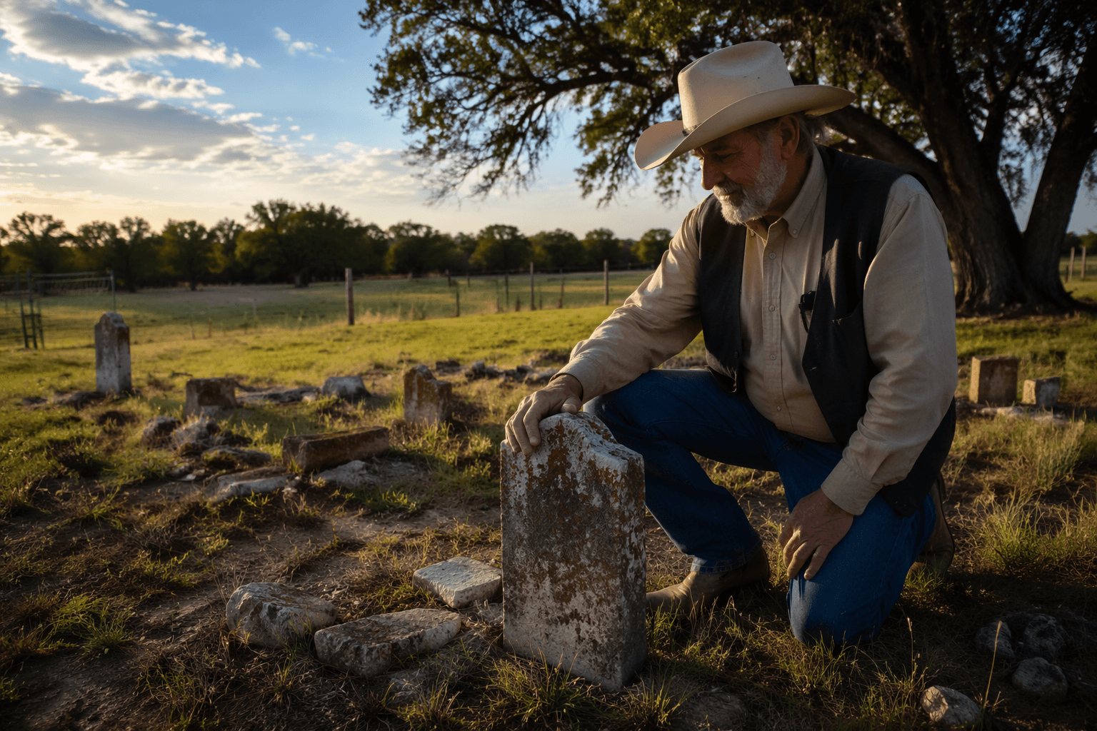
Bull Hill, in Falls County near Marlin, is tied to Sarahville de Viesca and the frontier world Coryell knew, but it is also a burial ground with a longer and more layered history. Archaeological work has shown that Bull Hill may date as early as the 1830s and was used for African American burials until the first half of the 20th century, before it was closed in the 1960s and nearly erased from local memory.
It was a burial place for enslaved people on the Jones plantation and for their descendants. One Texas Archeological Society study warned that there could be several hundred graves there.
How preservation work changed the story
In 2006, Churchill Jones III sold the property to the Summerlee Foundation, which purchased the land containing Sarahville de Viesca and Bull Hill to preserve the sites. The Texas Historical Commission began documentation and preservation work at Bull Hill in March 2007, then continued investigations from 2008 into 2011 under Dr. James Bruseth.
The work produced a breakthrough in 2010: the burial site believed to be James Coryell’s was found a few meters south of Bull Hill Cemetery. Excavations in 2010 and again in 2011 confirmed that the grave was part of a larger burial complex, with grave shafts found in two of three test units.
The 2019 search around the gravesite
The later Sarahville de Viesca cemetery search pushed the documentation further. Fieldwork from August 22 to 24, 2019, covered a .0676-hectare area around the Coryell gravesite and took 98 person-hours.
That work found grave shafts in two of three excavation units. It also included descendant-community outreach and oral-history work, which broadened the project beyond excavation alone. The result was a clearer picture of Bull Hill as a cemetery complex, not a single grave.
Coryell County’s landscape still carries the frontier record
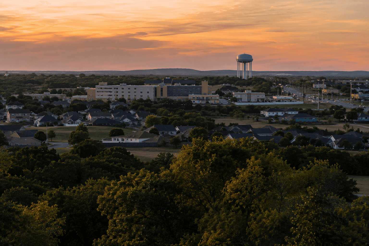
Coryell County covers 1,031 square miles, with Gatesville as the county seat. Its center lies about four miles southwest of Gatesville, at about 31°23' north latitude and 97°48' west longitude. The county is bordered by Hamilton, Bosque, McLennan, Bell, and Lampasas counties, and the Leon River and Cowhouse Creek cut through its geography.
Before the late 1840s, few settlements had taken root there. The area that became Coryell County was part of the Milam Land District, and some of the land was surveyed as early as 1835. Fort Gates and other military posts later helped protect incoming settlers, turning a thinly occupied frontier into a county with a civic center and courthouse.
This article was produced by Prism’s automated news system from verified source data, official records, and press releases, then run through automated quality and moderation checks before publishing. The system is built and supervised by the people who set the standards it runs under. Read our full AI policy.
Did this article answer your question?