Cottonwood Road reconstruction aims to improve safety, timber hauling
Cottonwood Road was closed from mile marker 3.7 to 4.6 for reconstruction meant to improve safety and timber hauling on a key Dolores County route.
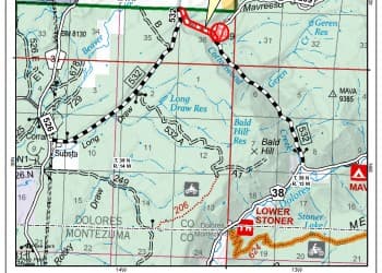
Cottonwood Road (NFSR 532) was closed from mile marker 3.7 to 4.6 as crews rebuilt the San Juan National Forest route to improve safety and make it more viable for timber hauling. The Forest Service set the closure from June 8, 2026, at 0500 through June 19, 2026.
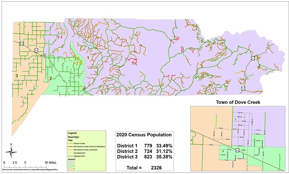
The work matters in Dolores County because Cottonwood Road is not treated like a minor spur. The county’s 2020 official road map labels the Cottonwood/Mavreeso segment, showing it as part of the area’s established road network. For nearby residents, ranch traffic, work vehicles and anyone making routine trips through the Cottonwood corridor, a closure on that stretch means a direct interruption to daily travel while reconstruction activity is underway.
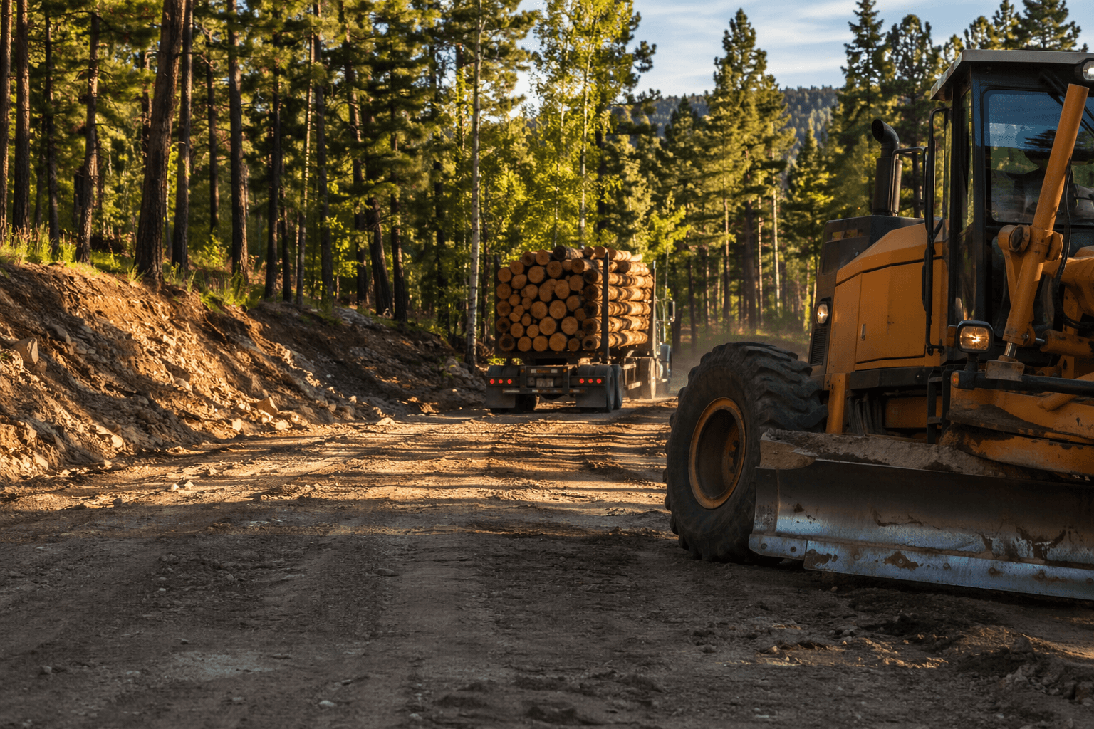
The Forest Service said the project was designed to improve safety and access along the route as well as timber-haul viability. That combination points to the road’s two jobs at once: it serves local movement and supports heavier commercial traffic tied to forest work. On a road that carries timber trucks, surface condition, drainage and alignment are not abstract maintenance issues. They affect whether the road can handle weight, turning and repeated heavy use without deteriorating quickly.
That timber-hauling purpose also ties the project to broader forest management. A Forest Service travel-analysis report notes that road maintenance funding connected to timber sales has been increasingly lacking, a problem that makes reconstruction and upkeep more consequential in national forest country. Improving Cottonwood Road can help logging, thinning and other forest operations move more efficiently while also reducing risk for local drivers who share the corridor with commercial trucks or use it during rough weather and seasonal work.
Dolores County’s Road and Bridge department and its Addressing and Mapping Office sit inside that same transportation picture. The mapping office says it maintains county road data and works with the Board of County Commissioners and other entities on special projects, a reminder that Cottonwood Road is part of a larger county system rather than an isolated improvement. In a county where road access affects everything from forest travel to access from Dove Creek, the reconstruction carries both immediate disruption and long-term utility.
This article was produced by Prism’s automated news system from verified source data, official records, and press releases, then run through automated quality and moderation checks before publishing. The system is built and supervised by the people who set the standards it runs under. Read our full AI policy.
Did this article answer your question?