Red Flag Warning Issued as Hot, Windy Conditions Raise Fire Danger
Wind gusts hit 45 mph across Dolores County on March 30, compressing the highest fire danger into a six-hour afternoon window on already-dry mesas with reduced snowpack.

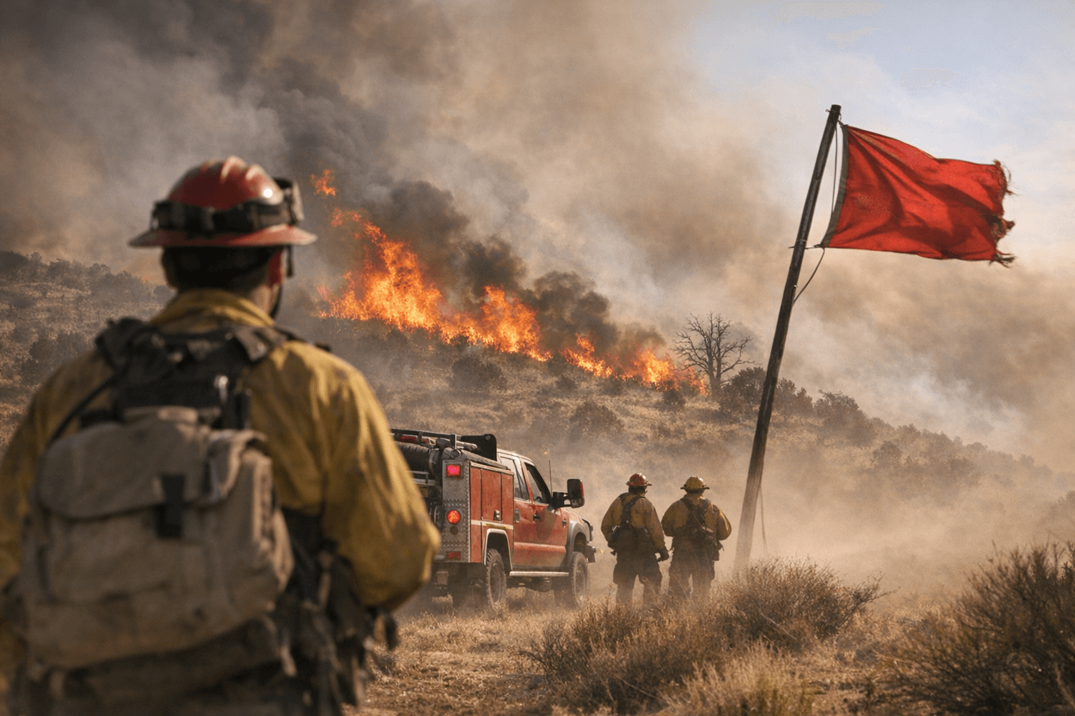
Dolores County's dry mesas hit their most dangerous fire conditions of the spring season between noon and 8 p.m. on March 30, when wind gusts reached 45 miles per hour in valley locations and humidity fell to levels that turn sparks from passing vehicles or running chainsaws into credible ignition threats. Red Flag Warnings went into effect across lower elevations of northwest and west-central Colorado as forecasters flagged the combination of high winds, unusually warm late-March temperatures, and critically low moisture as a short but severe weather window.
The warnings covered terrain running directly through Dolores County, from the ranching lowlands around Dove Creek to the forested corridors approaching Rico and Stoner Mesa. Reduced snowpack in some local basins had already dried out lower-elevation vegetation weeks ahead of the traditional fire season, priming fine fuels across open mesa country.
Advisories called for people to hold all outdoor burning and to stay alert to spark sources: vehicle exhaust systems, chainsaws, power equipment, and downed power lines all carried elevated risk during the afternoon peak. Higher elevations faced stronger gusts than the valley forecast of 45 miles per hour, compressing ignition risk into terrain that is harder to access once a fire starts moving.
In a county where fire districts are thinly staffed and rely on pre-positioned resources and mutual aid from neighboring agencies, a fire ignited during peak afternoon winds on open mesa ground can outpace initial attack before additional crews arrive. The narrow warning window, noon to 8 p.m., left little margin for delayed responses or unmonitored burns.
Relief came with a midweek pattern shift that pushed cooler air, valley rain, and snow above about 9,000 feet into the region. Some mountain pass elevations were expected to see several inches of accumulation. Forecasters cautioned that the heaviest moisture was likely to arrive overnight and in pre-dawn hours, when travelers on higher routes would be most exposed to changing road conditions.
The swing from peak fire danger to late-season snow within 48 hours compressed what can otherwise be weeks of gradual seasonal transition. Ranch and farm operations counting on early spring windows for controlled burns or heavy equipment work found that window closed abruptly March 30, with no safe return to outdoor burning until fire weather indices settled alongside the new pattern.
This article was produced by Prism’s automated news system from verified source data, official records, and press releases, then run through automated quality and moderation checks before publishing. The system is built and supervised by the people who set the standards it runs under. Read our full AI policy.
Did this article answer your question?


