State report shows Dolores County still affected by San Juan fire
State officials still tracked 7,390 fire-affected acres in Dolores County as the Ferris Fire crossed 63,271 acres and stayed 19% contained.
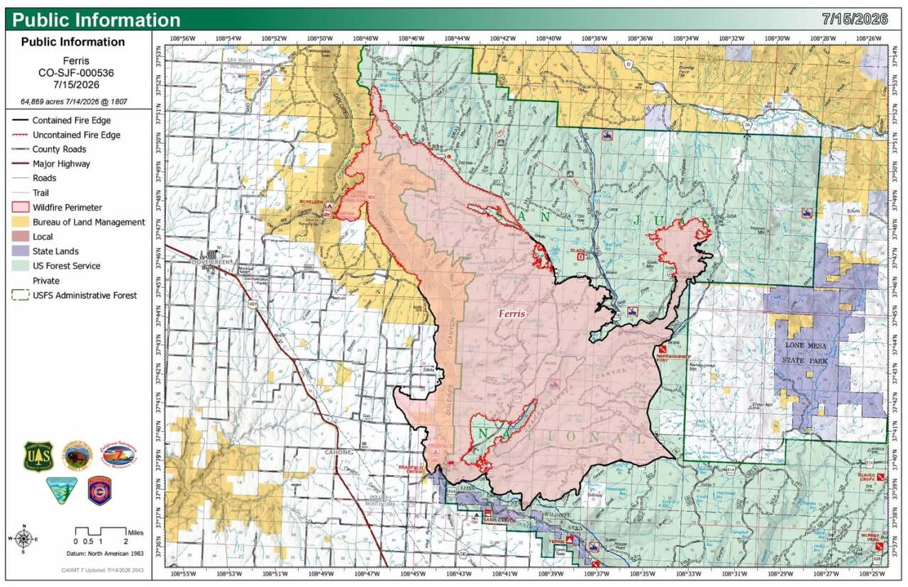
Colorado Emergency Management’s July 11 daily status report showed the Ferris Fire still burning across Dolores and Montezuma counties at 63,271 acres and 19% containment, while a separate Dolores County line item still listed 7,390 acres. For people in Dove Creek, Cahone and the ranch country along the county’s forest edges, that meant evacuation status, road access and public-land restrictions were still being shaped by an active fire, not a finished one.
The fire broke out in Dolores County on June 27 and had already forced repeated changes by the time the state issued its July 11 snapshot. By July 8, KJCT said it had grown to more than 57,000 acres, and CPR put it above 60,000 acres and still 19% contained. A July 11 Facebook post attributed to The Gazette said evacuations had expanded for the 62,930-acre Ferris Fire toward the Utah state line, with a large ready-status order stretching into San Miguel County, the first order there under the fire.
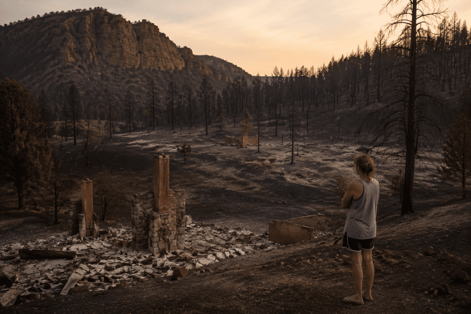
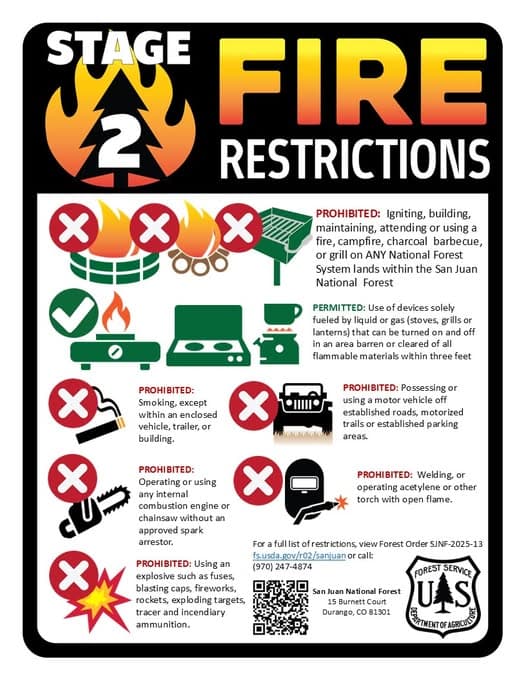
That spread mattered because the response was no longer a single-county operation. The San Juan National Forest held a Ferris Fire community meeting at 6 p.m. July 8 at the Dolores County Public Service Center, 8477 Road 7.7 in Dove Creek, and streamed it on the forest’s Facebook page and the California Incident Management Team 7 YouTube channel. Forest alerts said both Dolores and Montezuma counties had active evacuation orders in place, and fire restrictions remained in effect across the San Juan National Forest.
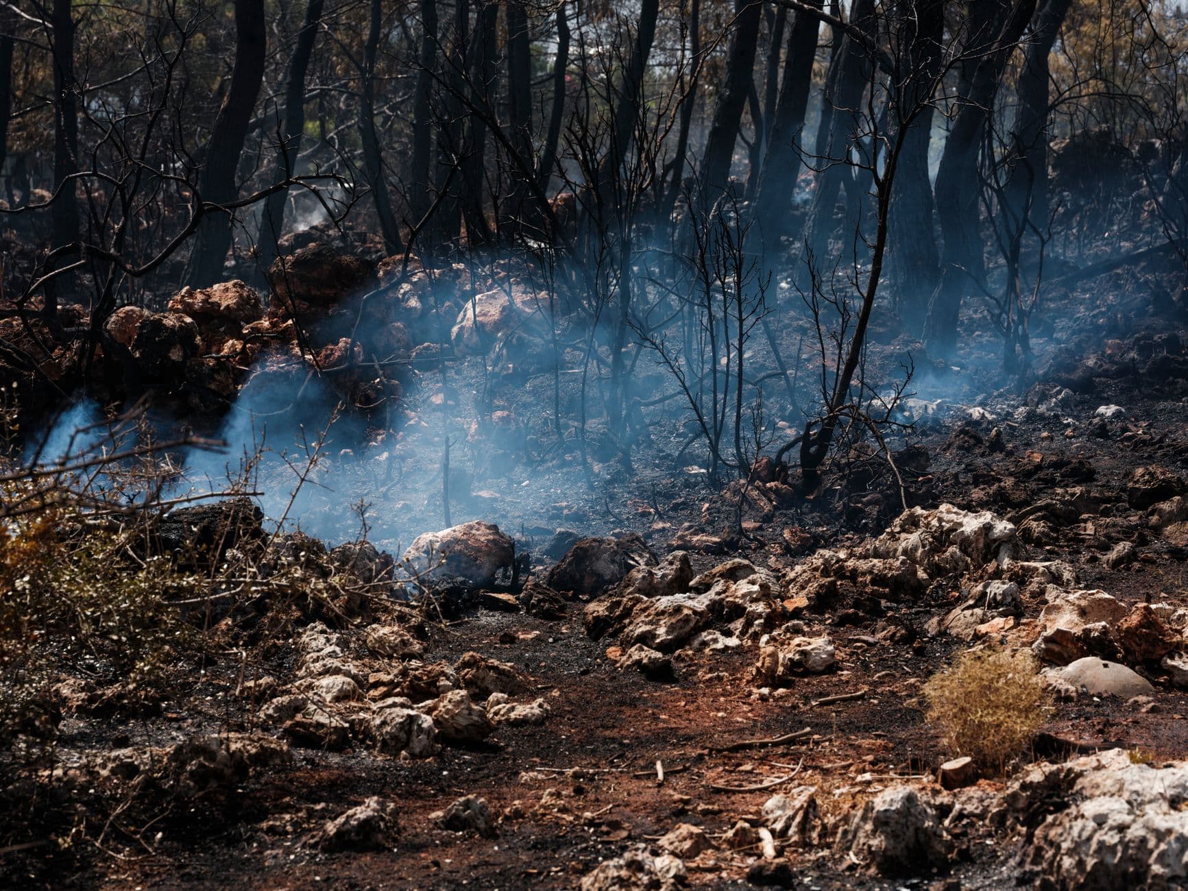
The state report also showed why a fire like this can slow down other work across southwest Colorado. Multiple incidents were being managed statewide at the same time, which can change how crews, engines, aircraft and support staff are assigned. The Colorado Division of Fire Prevention and Control says 20 of Colorado’s 20 largest wildfires have occurred since 2002, a record that underscores how quickly a fire in Dolores County can start competing for state and federal resources.
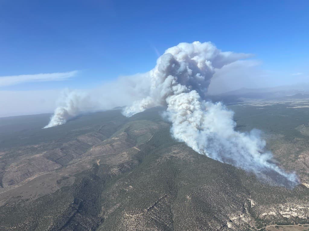
For residents trying to move livestock, reach trailheads or decide whether a back road was open, the key number was not just the acreage. It was the continuing combination of 63,271 acres burned across two counties, 19% containment, active evacuation orders and a still-growing fire footprint that kept Dolores County tied to the Ferris Fire’s next move.
This article was produced by Prism’s automated news system from verified source data, official records, and press releases, then run through automated quality and moderation checks before publishing. The system is built and supervised by the people who set the standards it runs under. Read our full AI policy.
Did this article answer your question?