Castle Pines adopts updated three-mile plan for future growth
Castle Pines approved a revised three-mile plan that can steer roads, utilities and open space around the city’s edge before annexation fights return.
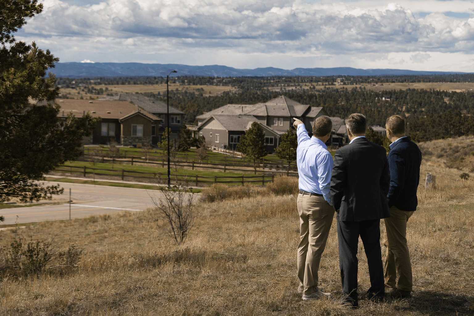
Castle Pines now has an updated planning tool that can shape roads, utilities, open space and other development decisions just outside city limits, even though it does not force annexation.
The Castle Pines Planning Commission approved the revised three-mile plan during its April 23 meeting, advancing Resolution 2026-PZ-R-01 and sending it to City Council for ratification at a later meeting. The document is a statutory long-range plan for land within three miles of the city boundary, the kind of framework Colorado says is used to describe land uses and infrastructure needs in preparation for possible future annexation.
For Castle Pines, that matters because the updated 2026 plan is not just a map. It divides the surrounding area into seven sub-areas and says it is meant to guide future growth and development of unincorporated land in a logical, efficient and fiscally responsible way. The plan also says it does not propose or require annexation of any property, a distinction that gives city leaders leverage without committing them to immediate expansion.
That balance is especially important as Castle Pines continues to deal with the Crowsnest annexation fight. The 794.51-acre site, generally southwest of the intersection of Crowfoot Valley Road and South Chambers Road and on either side of Crowfoot Valley Road, sits in unincorporated Douglas County and is currently zoned A1 Agricultural and Large Rural Residential by the county. The city’s annexation impact report says the proposal includes some road right-of-way, and the annexation uses a flagpole-style connection from the area of Crowfoot Valley Road and Macanta Boulevard.

VT Crowfoot Valley Landco, LLC has described the project as a mixed-use master-planned community with residential neighborhoods, commercial development, open space and regional trail connectivity. Other reporting has said it could include nearly 4,000 residences and about 70 acres of dedicated open space. Public reaction has been sharply divided elsewhere in the process, with only one of 15 speakers at an earlier annexation eligibility hearing supporting the project.
The pressure has not come only from neighbors. Parker Mayor Joshua Rivero publicly urged Castle Pines to reject the proposal, and Castle Rock Mayor Jason Gray sent a letter expressing substantial concerns, especially about traffic toward I-25. The developer withdrew its annexation petition on March 19 after earlier filing problems, just as Castle Pines was working on a formal annexation policy and considering a 120-day stay on new annexation requests.
Against that backdrop, the updated three-mile plan gives Castle Pines a clearer framework for the next annexation battle, and for the next development proposal that reaches the city’s edge.
This article was produced by Prism’s automated news system from verified source data, official records, and press releases, then run through automated quality and moderation checks before publishing. The system is built and supervised by the people who set the standards it runs under. Read our full AI policy.
Did this article answer your question?