Daniels Park blends scenic views with Douglas County history
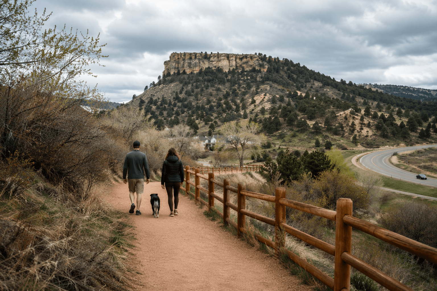
Daniels Park is Douglas County’s rare overlook where bison, frontier roads and Native history share one ridge above Highlands Ranch and Castle Rock.

Daniels Park is the rare Douglas County place where a sweeping overlook, a frontier travel corridor and a living conservation story all meet in one stop. The park covers about 1,000 acres, sits south of Highlands Ranch and north of Castle Rock, and stands out as the only Denver Mountain Park in Douglas County and the only prairie park in the Denver Mountain Parks system.
A ridge that shows the county’s big picture
From the high-plains mesa, the views can run from Pikes Peak to the Snowy Range, which gives the park a reach far beyond a typical neighborhood open space. Daniels Park is part of a larger regional open-space system of about 11,000 acres that protects the rim-rock landscape stretching from Sedalia to Highlands Ranch, so the view is not just scenic, it is a window into the county’s growth edge.
That matters in Douglas County, where development pressure has long pushed against open land. Daniels Park remains one of the clearest places to see how the county has tried to preserve a visible boundary between built-out suburbs and the open country that still defines the southern edge of the metro area.
The road tells an older story than the skyline
Daniels Park Road follows the alignment of the First Colorado Territorial Road, a pre-1864 wagon and stage route, which means the route itself is part of the history on display. Long before the park became a public destination, the ridge was a corridor for movement, trade and travel across the plains.
The park’s land history is equally specific. Florence Martin donated the first 37.99 acres in 1920 and added another 962.76 acres in 1937, turning a local ranch landscape into a public park. Daniels Park was listed on the National Register of Historic Places in 1995, and the site still carries that older character in the stone shelter, the broad mesa and the sense that the land has not been remade for modern traffic.
What visitors see on the ground
The park’s current public use is simple and direct: picnicking, viewing bison and taking in the Front Range. Denver’s master plan says public access is limited because of the bison, but visitors can still use the sandstone mesa, the historic shelter and a few viewing areas.
The park map also makes clear what is off limits. Bison pastures and maintenance areas are closed to the public, and the Tall Bull Memorial Grounds are use-by-permit only. That restricted access is part of what gives Daniels Park its unusual feel: it is a public park, but not one designed around heavy foot traffic, sports fields or the usual suburban amenities.
The master plan also notes the basics that shape a visit: the historic stone shelter, two small outhouses and gravel parking areas. The result is a park that feels closer to a historic landscape preserve than to a standard city park, even though it sits within the region’s daily commuter geography.
Tall Bull Memorial Grounds and the park’s Native history
The Tall Bull Memorial Grounds add one of the park’s most important layers. The grounds cover roughly 70 to 80 acres at the north end of the park and are used for Indigenous ceremonies and activities. The site was originally set aside in the 1970s, with accounts citing a 1976-77 agreement involving 17 Indigenous organizations.
That arrangement became more formal in 2022, when Denver and the Tall Bull Memorial Council entered a 25-year cooperative agreement with automatic 25-year renewals for traditional cultural use of the site. The change turned an already significant place into one with long-term protection for ceremonial use.
The memorial grounds help explain why Daniels Park matters as more than a scenic stop. The land holds Native history, ranch history and park history at once, and the Tall Bull site makes sure that the park’s public identity does not erase the people whose use of the land predates the Denver parks system.
Bison conservation gives the park a second life
Daniels Park is also a working conservation site. Denver Parks and Recreation maintains its second conservation bison herd here, and the herd expanded to Daniels Park in 1938. Denver’s herd history is striking: by 1908, only 18 bison remained in Colorado at the zoo, the herd moved to Genesee Park in 1914, and Daniels Park became part of that network in 1938.
The bison story now reaches well beyond the county line. In 2021, Denver transferred 13 bison to the Cheyenne and Arapaho Tribes and one to the Tall Bull Memorial Council. In 2026, Denver reported another transfer of 34 bison to tribal nations, including the Tall Bull Memorial Council. That makes Daniels Park part of a broader effort to restore bison to tribal homes while keeping a conservation herd in the Denver Mountain Parks system.
For visitors, the herd is one of the main draws. For Douglas County, it is a reminder that the park is not only about scenery or heritage markers. It is also tied to one of the West’s most important wildlife recovery stories.
Why Douglas County still has a stake in the park
Douglas County and Denver have shared stewardship of Daniels Park since 2008, when the two governments formed a partnership focused on restoring the park. Denver owns the park, and Douglas County maintains the road, a practical split that reflects how often the park serves county residents while remaining part of a Denver system.
That arrangement matters because the road is one of the park’s main pressure points. Daniels Park Road is unpaved and often used as a throughway, and the master plan flags speed, dust and erosion as persistent issues. Denver’s planning documents call for reducing dust, erosion and sediment, discouraging unnecessary traffic and improving parking, trails and entry points, all of which show that maintaining a historic overlook is also a basic infrastructure job.
Recent work has continued that direction. Denver moved ahead with a bison-handling facility project in 2024, awarded at about $320,577.71, another sign that the park’s conservation role is active, not symbolic. In a county where growth keeps moving south, Daniels Park remains one of the clearest places to see how open space, history and stewardship still shape the land residents drive past every day.
This article was produced by Prism’s automated news system from verified source data, official records, and press releases, then run through automated quality and moderation checks before publishing. The system is built and supervised by the people who set the standards it runs under. Read our full AI policy.
Did this article answer your question?