Douglas County exhibit explores how transportation routes shaped growth
Douglas County’s exhibit shows how trails, rail lines and road corridors set the county’s growth map. Those same routes still shape commutes, congestion and planning today.
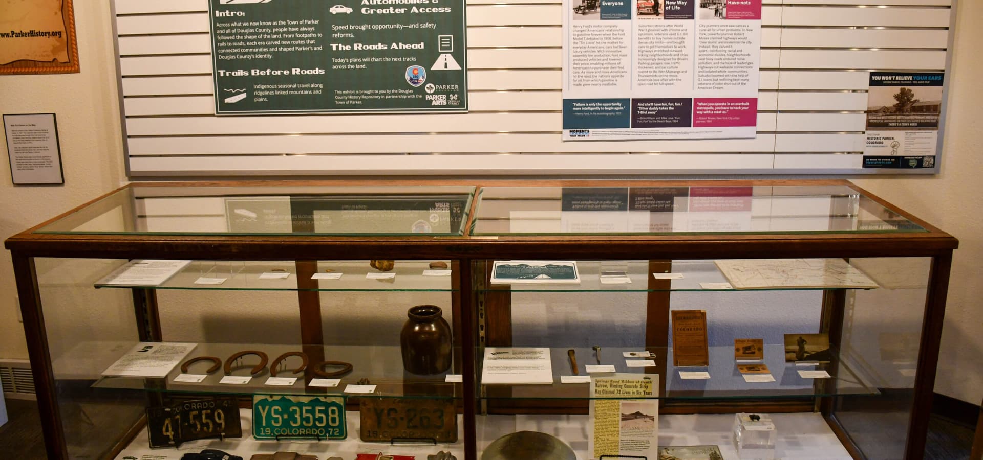
Douglas County’s transportation history exhibit follows the routes that carried wagons, trains and cars through the county and shows where towns took root, where commerce gathered and where growth keeps pressing today. In a county that sits between the Denver metro area and Colorado’s southern Front Range, old corridors are part of the map that still governs development, commuting and the politics of congestion.
From trail corridor to county pattern
The Santa Fe Trail ran through Colorado from 1821 to 1880 as a historic westward corridor across Missouri, Kansas, Colorado and Oklahoma. In Douglas County, that overland era mattered because travel routes were more than passageways. They linked ranches, settlements and markets long before paved highways turned those same paths into suburban commuting routes.
Douglas County’s history materials present early travel corridors, later road-building and modern commutes as layers of one story. Places like Castle Rock, Parker and Larkspur did not grow in isolation from those routes. They grew where access, movement and trade made settlement practical.
A virtual museum built around movement and enterprise
Douglas County’s virtual museum reinforces that connection between transportation and local life. Its exhibits include Gold Rush to Settlement and Agriculture, Commerce, Government: 1860-1950, along with more specific local subjects such as The Big Dry Creek Cheese Ranch 1879-1943 and Ivan’s Blacksmith Shop. Those topics point to a county economy that depended on getting goods, mail, livestock and people from one place to another.
Ranching and farm output needed routes to reach markets. Blacksmith shops served the people and equipment moving through the county. Even settlement patterns followed transportation logic, with crossroads and travel stops becoming the places where services could survive and communities could grow.
Railroads left a mark that never disappeared
Rail history gives the exhibit another anchor. The Denver, South Park and Pacific Railroad was incorporated on June 16, 1873, and service began between Denver and Morrison in July 1874. A 1945 history of Douglas County places passenger train travel along the Denver and Colorado Springs corridor into the 1950s and 1960s.
Douglas County’s historic-resources map identifies the Castle Rock Denver & Rio Grande Railroad Depot as a historic resource. It left buildings, rights of way and town centers behind.
Why old routes still drive today’s growth
The county’s population shows how much more pressure those routes now carry. U.S. Census Bureau and ACS-based sources put Douglas County at about 393,995 people in 2024 and about 399,400 in 2025. A county that size is no longer just a place people pass through on the way to somewhere else. It is a major residential and commuting hub, and the old travel corridors now absorb far more than wagons or rail cars ever did.
That regional burden is visible on the I-25 corridor. The I-25 Conservation Corridor Master Plan puts traffic on the Front Range corridor between Colorado Springs and Denver at more than 73,000 vehicles on any given day. For Douglas County, that means every decision about road widening, interchange design, transit service or new housing is also a decision about where the county inherits its traffic, and where it chooses to grow next.
What county planning is trying to solve
Douglas County’s 2050 Transportation Plan is an active county planning document, and the county’s transportation page links mobility directly to land use planning. Transportation networks move people and goods and shape access to resources, places and events, which is why road, transit and development debates cannot be separated from one another.
The county’s Integrated Transit and Multimodal Study shows how that conversation is unfolding now. The survey closed on March 4, 2025 after more than 540 responses, giving planners a set of public priorities to weigh against congestion, growth and regional access.
This article was produced by Prism’s automated news system from verified source data, official records, and press releases, then run through automated quality and moderation checks before publishing. The system is built and supervised by the people who set the standards it runs under. Read our full AI policy.
Did this article answer your question?