Lightning-caused Log Jumper Fire contained near Castle Rock, evacuation warning lifted
Lightning sparked a 1-acre Log Jumper Fire southwest of Castle Rock, briefly putting Devil’s Head Recreation Area under a 3-mile evacuation warning before officials lifted it.

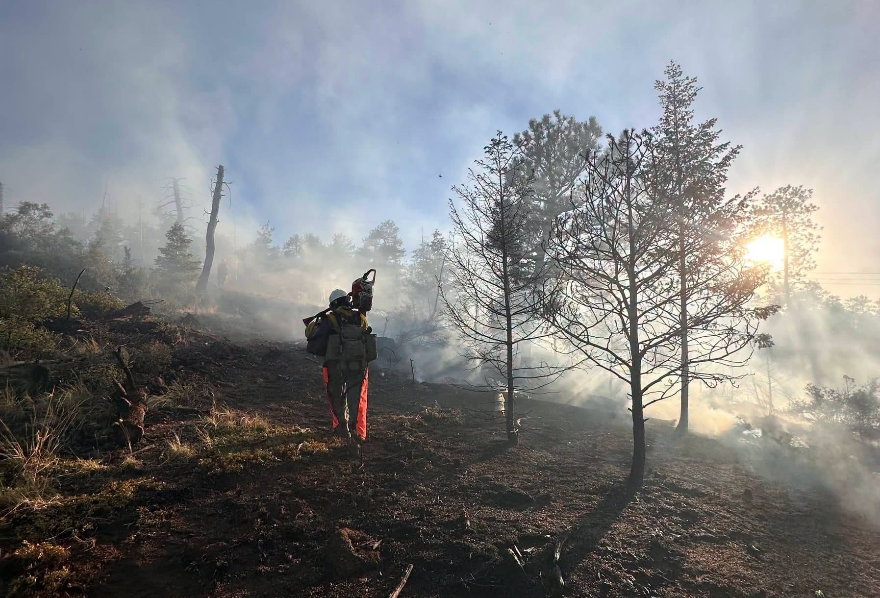
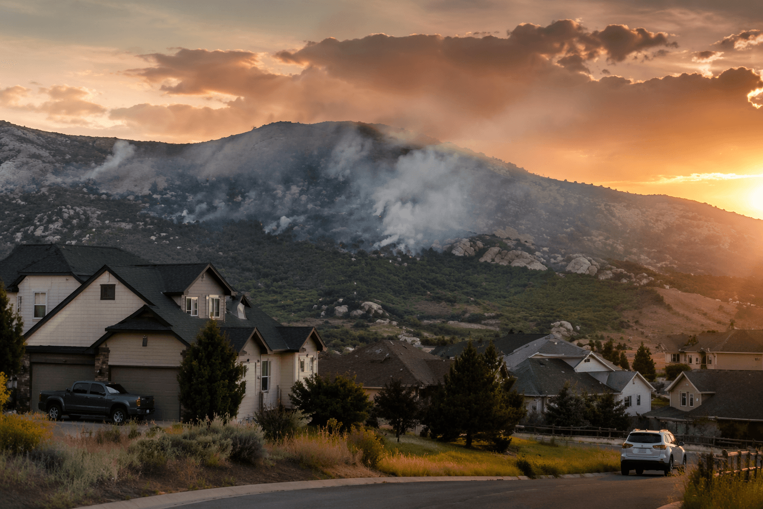
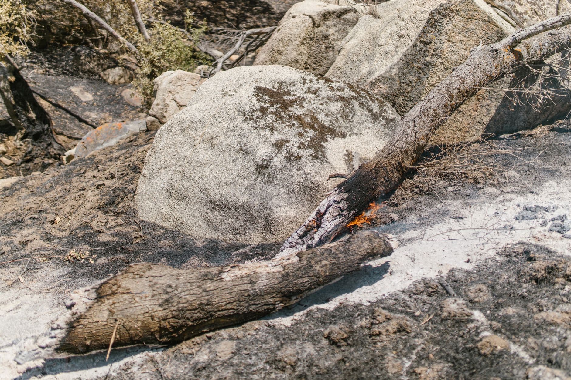
A lightning-sparked wildfire near Jackson Creek Road and Rampart Range Road briefly put a wide swath of western Douglas County on alert Saturday, including the Devil’s Head Recreation Area southwest of Castle Rock. By 8 p.m., the Log Jumper Fire had grown to about 1 acre and was 80% contained, and county officials later lifted the evacuation warning for the three-mile radius around the blaze.
The Douglas County Sheriff’s Office first alerted residents to the fire off Log Jumper Trail in an area where access and communications can become difficult fast, especially in the mountain terrain near the Pike National Forest. The warning covered a sparsely populated zone, but it mattered well beyond the immediate fire edge because the area includes recreation land used by hikers, campers and off-road drivers moving through the Rampart Range corridor.
Officials had enough confidence to lift the warning because the fire stayed small, crews got a strong initial hold on it, and the incident remained contained in a limited footprint near the trail and road network. The U.S. Forest Service said resources on scene included two Forest Service engines, one West Douglas County Fire Protection District engine, one Type-3 helicopter with Monument Helitack and one Type-2 helicopter with Douglas County. That response, combined with the fire’s low acreage and high containment, allowed the county to back away from the evacuation notice. No current evacuations remained in place by the evening update.
What could change that decision is the same set of conditions that make lightning fires in the foothills so unpredictable: a shift in wind, more dry weather, or renewed fire spread into heavier fuels. Douglas County and federal firefighters were monitoring the weather and the perimeter closely, and another flare-up could have forced officials to restore the warning or expand it beyond the original three-mile radius. For households along the western edge of the county, the next 24 to 48 hours still matter most when emergency alerts change, smoke moves, or access routes tighten.
The incident also underscored how quickly a small fire can disrupt life in Douglas County when it lands near a major recreation corridor. Rampart Range Road is one of the most heavily used roads on the Pike National Forest, and the U.S. Forest Service says a road mitigation project there is meant to create strategic fuel breaks and improve wildfire safety. Nearby, Devil’s Head adds even more public interest: the lookout tower is listed on the National Register of Historic Places, sits at 9,748 feet, and is reached by a trail that climbs 865 feet.
This article was produced by Prism’s automated news system from verified source data, official records, and press releases, then run through automated quality and moderation checks before publishing. The system is built and supervised by the people who set the standards it runs under. Read our full AI policy.
Know something we missed? Have a correction or additional information?
Submit a Tip