Parker exhibit traces how transportation shaped Douglas County history
A Parker exhibit ties Douglas County’s traffic, growth and development pressure to the trails, stage lines and railroads that first carved its corridors.

Why this exhibit matters now
The routes that carry Douglas County commuters, school traffic and commercial growth today did not appear by accident. They grew out of older paths, some of them Indigenous trails, later stagecoach lines and railroads, that shaped where people settled, traded and built.
That is the central idea behind Tracks Across Our Land, a temporary exhibit at the Parker Heritage Center that asks visitors to look at the county’s present-day transportation network through a longer lens. The display, developed as a partnership between the Town of Parker and the Douglas County History Repository, is part of the county’s Historic and Natural Resources programming and is designed to connect local history to the pressures Douglas County faces now.
Douglas County is one of Colorado’s fastest-growing counties, with a 2020 Census population of 357,978 and a U.S. Census Bureau estimate of 399,396 as of July 1, 2025. In a place where growth, traffic and development pressure are constant civic issues, the exhibit is more than a look backward. It helps explain why roads, corridors and communities formed where they did, and why transportation still drives the county’s economic geography.
How the county’s corridors were first carved
The exhibit traces transportation across Douglas County from Indigenous trails to stagecoach routes, railroads and modern highways. That sequence matters because it shows continuity, not coincidence. People moved through this landscape long before mapped roads existed, following routes tied to water, trade, seasonal movement and cultural meaning, and later travelers layered new systems over those original paths.
That long arc is visible in the county’s historic landscape, where older travel networks eventually gave way to fences, irrigation ditches, recreational trails and paved roads. The exhibit uses artifacts and stories to show how each era left its mark on where people lived and how communities connected with one another. In that sense, it offers a practical lesson for today’s residents: the county’s growth patterns are rooted in choices made long before subdivisions and interchanges defined the map.
The county says its historic-preservation work supports awareness of Douglas County’s prehistory, history and heritage, and this exhibit fits that mission closely. It treats transportation not as a nostalgic subject, but as the framework that shaped settlement, commerce and daily life.
Parker’s role in Douglas County’s transportation story
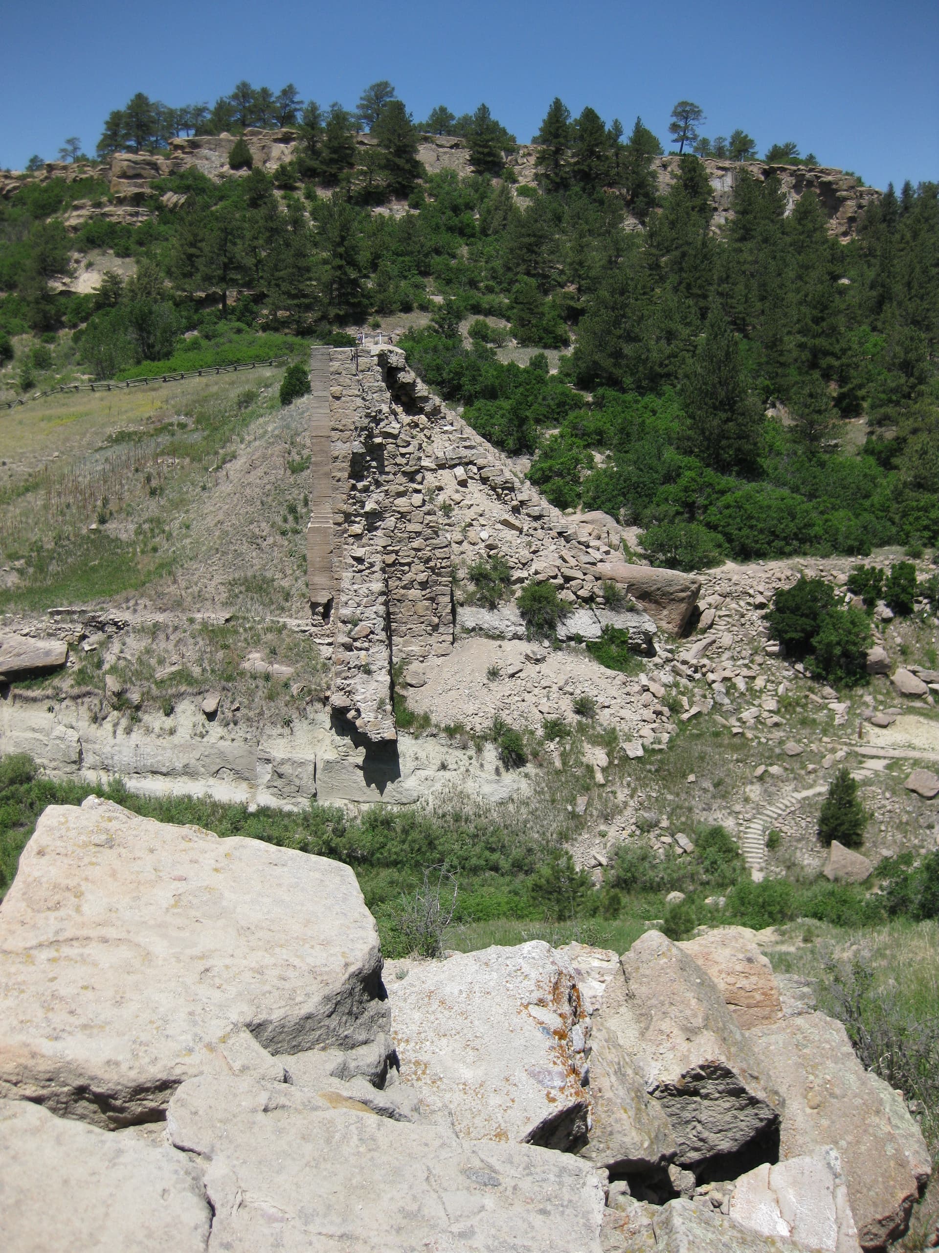
Parker is an especially revealing place to tell this story because transportation helped determine why the town developed where it did. One of the clearest examples is the 20 Mile House, which was the sixth in a series of mile houses, or way stations, on the Cherokee Trail between Denver City and Pine Grove.
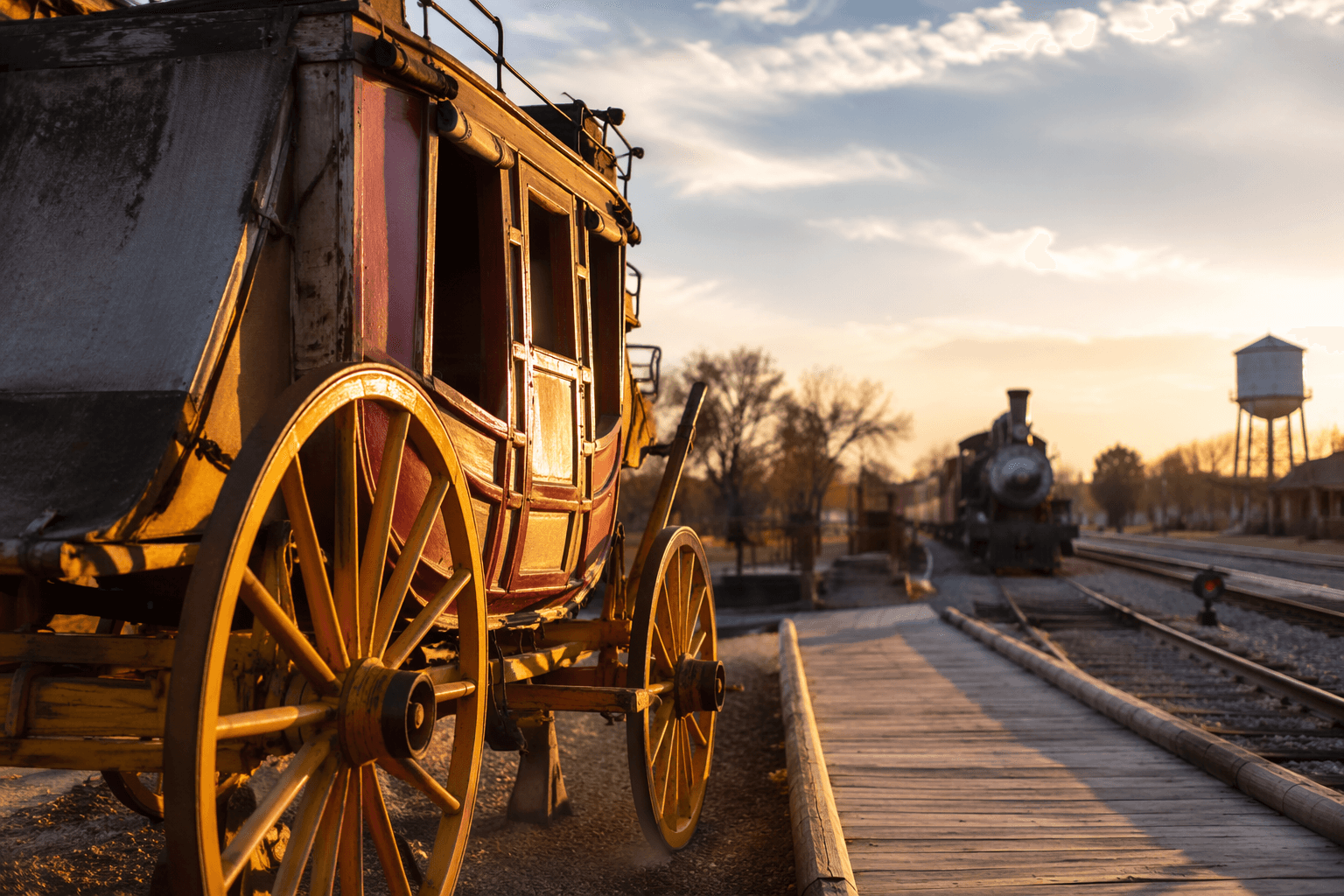
The Cherokee Trail followed Cherry Creek into Denver and brought travelers from southern and eastern states using the Arkansas River route. Before the railroad changed travel patterns, the Butterfield Overland Dispatch ran a stage line through the Parker area with stops at Sulphur Creek Station and the 20 Mile House. Those stops were not just waypoints on a map. They were pieces of an emerging transportation system that helped determine where people could rest, trade and build.
James Parker’s decisions still echo today
The town’s history also points to the decisions of James Parker, who granted rights-of-way for future roads, ditches, telephone lines and eventually the Denver and New Orleans Railroad. That detail matters because it shows how infrastructure in Douglas County was never only about one mode of travel. Roads, utilities and rail lines were part of the same expanding pattern of access and development.
The Denver and New Orleans Railroad began scheduled service in 1882 and was the first standard-gauge railroad to operate in Douglas County. That was a turning point in local mobility and commerce. Rail service changed how goods moved, how people traveled and which places gained influence as transportation hubs. The exhibit links that shift to the earlier trail and stage networks so visitors can see continuity across each phase of county development.
Taken together, the Parker area’s history shows how a transportation corridor becomes a community center. Trails drew travelers. Stage stations supported movement. Rail service accelerated settlement. Modern highways later followed many of the same broad patterns, reinforcing the routes that already mattered.
Where to see the exhibit
Tracks Across Our Land is on view at the Parker Heritage Center inside the Old School House building, on the main floor of the Schoolhouse at Mainstreet. The museum is operated by the Parker Area Historical Society and is designed to be self-touring, with permanent and temporary displays of artifacts.
The Heritage Center is generally open Monday through Thursday from 10 a.m. to 4 p.m. when the building is open for programming. That makes it an easy stop for families, students and longtime residents who want a closer look at the county’s transportation past without planning a full day around it.
The exhibit’s partnership structure is part of the story too. By bringing together the Town of Parker and the Douglas County History Repository, it shows how local government and historical preservation can work together to make history useful in the present. The Douglas County History Repository, established by the Board of County Commissioners, is dedicated to the acquisition, preservation, display and curation of historic and prehistoric cultural materials relevant to Douglas County, the Palmer Divide, the High Plains and Colorado.
That larger institutional backdrop gives the exhibit real weight. It is not simply a display of old objects. It is a reminder that the county’s roads, neighborhoods and commercial corridors are part of a much older pattern of movement and access, one that still shapes where Douglas County grows, how people commute and why certain places remain central.
This article was produced by Prism’s automated news system from verified source data, official records, and press releases, then run through automated quality and moderation checks before publishing. The system is built and supervised by the people who set the standards it runs under. Read our full AI policy.
Know something we missed? Have a correction or additional information?
Submit a Tip