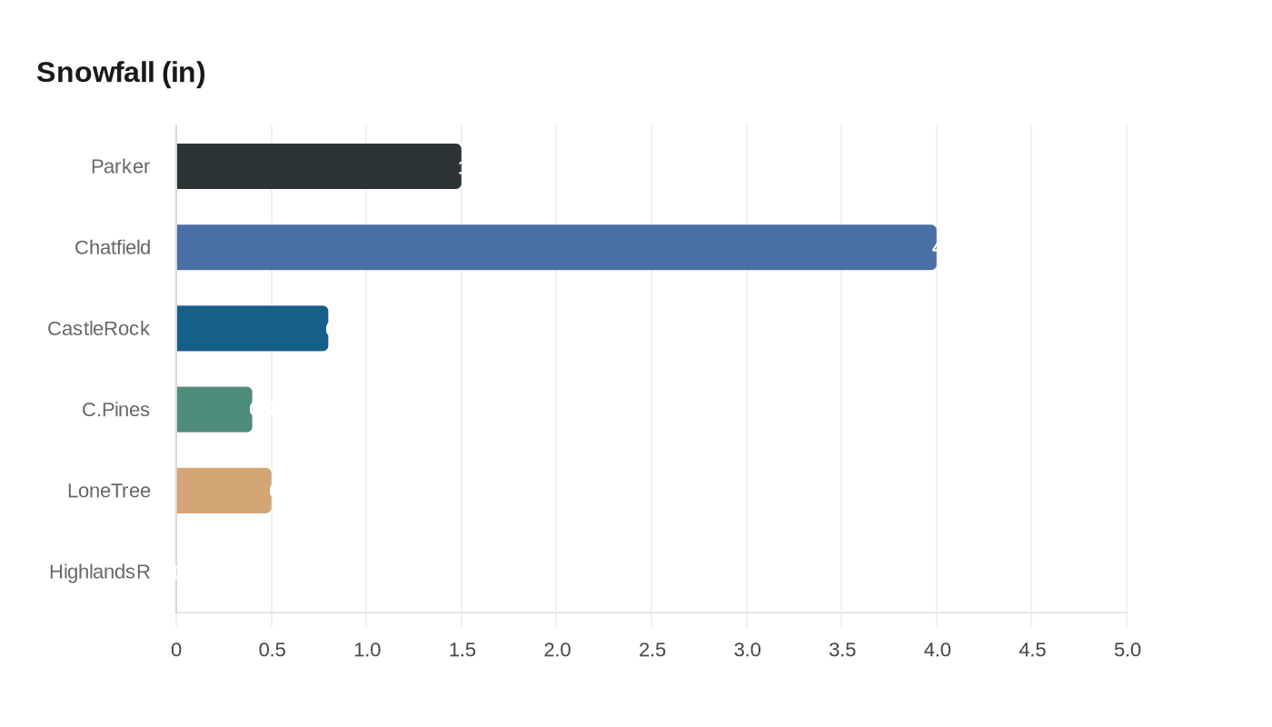
South-Metro Douglas County Sees Light Snow; Parker 1.5 Inches, Chatfield 4 Inches
Light snow fell across south-metro Douglas County, with Parker recording 1.5 inches and Chatfield Reservoir 4 inches, producing mainly minor impacts for residents.

Light snow moved through south-metro Douglas County during the Jan. 23-24 storm, leaving measured totals that varied across suburbs and nearby open space. Parker recorded 1.5 inches, Chatfield Reservoir measured 4 inches, Castle Rock saw 0.8 inches, Castle Pines 0.4 inches, Lone Tree 0.5 inches, and Highlands Ranch reported no accumulation during the storm window. These figures come from observed totals submitted by local observers and official reporting stations.
The system delivered light to modest accumulations across the suburban plain while producing heavier pockets in the foothills and nearby mountains. In Douglas County, the heaviest local accumulation at Chatfield Reservoir reflected terrain and exposure typical of reservoir and open-space sites, while suburban neighborhoods closer to the Interstate 25 corridor saw smaller amounts. The overall pattern left primary arterials largely passable but created slick or slushy conditions on untreated surfaces and elevated spots.
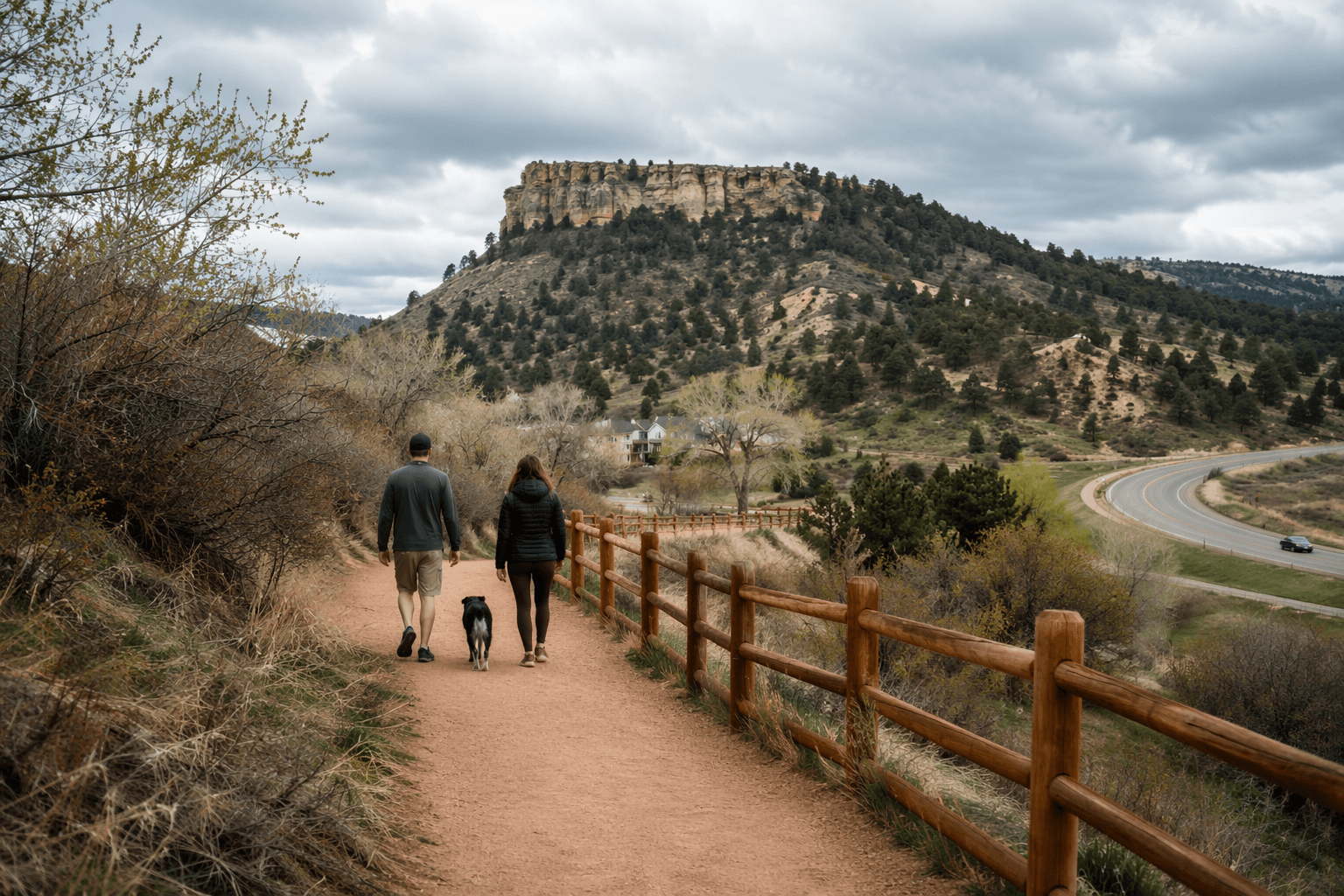
For residents, the practical effects were limited. Sidewalks, mail routes, and short local drives likely experienced intermittent slush rather than deep snow that would require extended clearing. Property owners along Chatfield and adjacent open-space trails experienced deeper coverage that can affect trail conditions and access for recreational users. Park and open-space managers may need to monitor trail erosion and signage where heavier pockets linger.
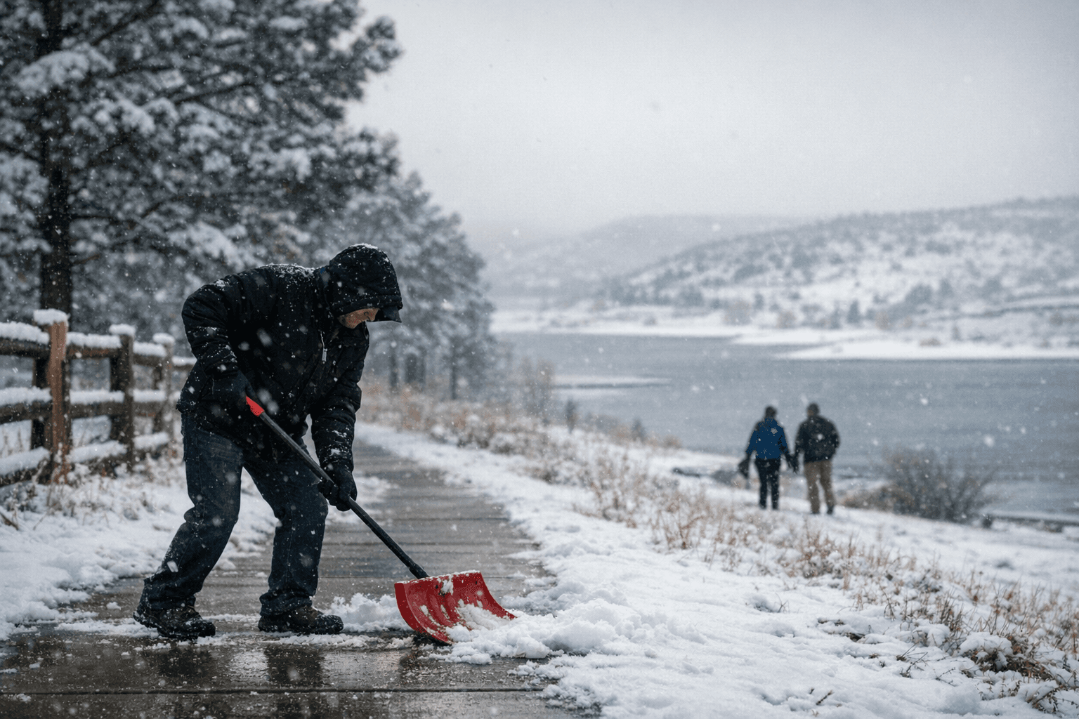
Municipal and county maintenance operations typically prioritize high-traffic collectors and emergency routes during light events. Given the measured totals, local road crews would have focused de-icing and plowing on those corridors while allowing lower-volume streets to settle. Commuters and school districts in Douglas County have previously used similar snowfall thresholds to guide scheduling and response; this storm’s totals were within the range that usually results in targeted, not countywide, operational responses.
Beyond immediate travel and trail implications, the storm made a modest contribution to localized snowpack in foothills and mountain catchments. Larger impacts on water resources will depend on successive systems and spring melt patterns rather than a single light event. Residents with concerns about property drainage, short-term trail access, or travel plans should check real-time local road and park advisories.
This storm underlines the variability of south-metro snowfall from street to open-space site and the value of local observation networks. Expect mostly light conditions in the short term but monitor forecasts for additional winter systems that could bring heavier snow to foothills and mountains or change conditions on local roads and trails.
This article was produced by Prism’s automated news system from verified source data, official records, and press releases, then run through automated quality and moderation checks before publishing. The system is built and supervised by the people who set the standards it runs under. Read our full AI policy.
Did this article answer your question?