Spruce Mountain trail guide highlights hiking, horseback routes near Larkspur
Spruce Mountain gives Douglas County a shared-use loop near Larkspur with switchbacks, equestrian access, and views toward Greenland Open Space. It is one of the county’s most versatile weekend trail choices.
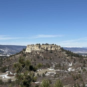
Spruce Mountain Open Space is the kind of Douglas County trail system that helps you decide quickly whether a weekend outing is worth the drive. The county’s own mapping shows an 8.5-mile Spruce Mountain Trail that switchbacks toward Greenland Open Space and surrounding buttes, while the broader open space supports hiking, horseback riding, and biking on a network that is bigger than a single path. If you want a shared-use route near Larkspur and Palmer Lake with real route variety, this is one of the county’s most practical picks.
What Spruce Mountain is, and where it sits
Douglas County’s community wildfire protection plan describes Spruce Mountain Open Space as a 1,416-acre, forested open-space property and a high-use recreation area for hikers, bikes, and equestrian users. A separate trail guide places the park at 1,390 acres in Larkspur, which underscores the same basic point: this is a substantial open-space destination, not a small neighborhood trailhead.
Its location matters just as much as its size. The property sits in the Palmer Divide corridor between Larkspur and Palmer Lake, and a local equestrian trail description places it directly across from Greenland Open Space, reached from I-25’s Greenland Exit 167 via Noe Road. That geography makes Spruce Mountain useful for people who want to pair it with other Douglas County open space instead of treating it as a stand-alone stop.
How the trail network works
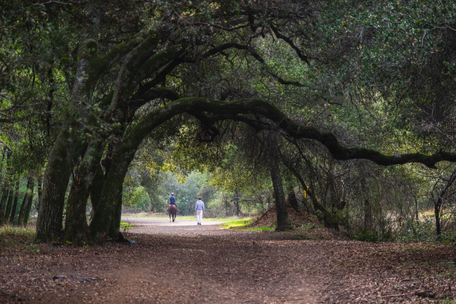
Spruce Mountain is best understood as a network, not a single line on a map. County and trail resources name Spruce Mountain Trail, Spruce Meadows Trail, Eagle Pass Trail, a Cutoff, an Upper Loop, and service-road connections, which gives you flexibility depending on whether you want a shorter loop, a longer ride, or a day with more branching options.
That route variety is one reason the area works for multiple users. COTREX lists Spruce Mountain Loop as a featured route, while AllTrails describes Spruce Mountain Trail as a 5.5-mile loop near Palmer Lake and says the area is popular for hiking, horseback riding, and biking. In practice, that means you are not choosing between a single payoff and a dead-end climb. You are choosing among connected segments that can be combined into a more relaxed or more ambitious outing.
The network also has some history behind it. A botanical survey source says Spruce Meadows Open Space, then referred to as Douglas Heights, was acquired in 1996. That matters because it helps explain why the area feels like a stitched-together public landscape rather than a newly built, single-purpose trail park.
What the hike feels like on the ground
The clearest clue from the county’s recreation map is the terrain itself: the main Spruce Mountain Trail gently switchbacks instead of grinding straight uphill. That makes the route more approachable than a steep summit push, especially if you are walking with kids, sharing the trail with horses, or trying to keep a longer day from turning into a punishing climb.
Views are the payoff here. The county map says the trail opens toward Greenland Open Space and surrounding buttes, and a trail review blog describes the loop as a large sandstone mesa close to I-25 that still feels remote. Those two details explain the experience well: you are close enough to the highway corridor to access it easily, but the open mesa setting still gives you the sense of being out on a bigger landscape.
User reviews add a few practical notes that matter once you are on site. Trailhead reports mention port-a-potties and trash cans, which is useful if you are arriving with family or planning a longer outing. Other summaries note that dogs are allowed on leash only, and shared-use comments mention horse manure on some trails, a reminder that this is a working multi-user trail system rather than a groomed city path.
Why it makes sense for hikers, riders, and families
Spruce Mountain stands out because it serves several kinds of outings without asking you to leave Douglas County’s open-space system. AllTrails’ horseback-riding section identifies Spruce Mountain Trail as the best horseback-riding trail in the open space and gives it a 4.7-star rating, while Komoot says routes in Spruce Mountain Open Space average 4.2 stars from more than 20 reviews. Those ratings are user-generated, but they line up with the county’s own emphasis on the property as a high-use recreation area.
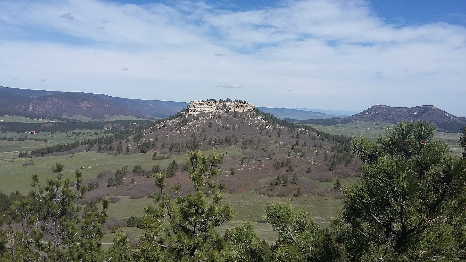
For hikers, the appeal is the route structure and the views. For horseback riders, the appeal is the mapped network and the dedicated wayfinding that ties trail segments together. For families and casual visitors, the big question is whether the area feels like a real destination or just another short loop; here, the answer is that it feels like a destination with enough acreage, access, and route choice to justify the drive.
How to choose Spruce Mountain over other Douglas County hikes
Choose Spruce Mountain when you want more than a short scenic stroll. The 8.5-mile county route, the featured status in COTREX, the shared-use layout, and the access from Greenland Exit 167 all make it a strong option when you want to build a longer outing around one trailhead.
It is especially well suited to people who care about trail clarity before they leave home. The named segments, the loop structure, the equestrian access, the views toward Greenland Open Space, and the trailhead basics give you enough information to plan with confidence. In a county with plenty of open space, Spruce Mountain is one of the places where the trail system itself becomes the attraction.
This article was produced by Prism’s automated news system from verified source data, official records, and press releases, then run through automated quality and moderation checks before publishing. The system is built and supervised by the people who set the standards it runs under. Read our full AI policy.
Did this article answer your question?