Weather service warns of hail, lightning in Douglas County today
Thunderstorms could bring hail and dangerous lightning to Douglas County before 5 p.m., with the foothills and I-25 corridor most exposed.

A special weather statement stayed in effect for Douglas County through 5 p.m. MDT Thursday, with the biggest concern centered on fast-moving thunderstorms near the foothills and along the I-25 corridor. The National Weather Service in Boulder said the day’s main hazards were dangerous lightning and hail, with brief heavy rain also possible as storms moved through the area.
Forecasters said scattered showers and thunderstorms were expected over the far northeast plains and in and near the foothills and I-25 corridor. Stronger cells could produce hail, and the weather service said storm coverage could increase late in the afternoon into the foothills and possibly the I-25 corridor. A mid-level cap may have kept stronger development in check early in the day, but if that cap broke, the atmosphere could support an isolated strong to marginally severe storm.
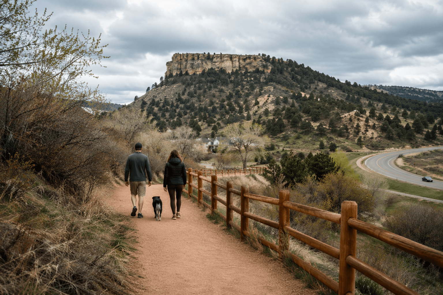
For Douglas County residents, that meant afternoon outdoor plans were the most vulnerable part of the day. Golf rounds, trail hikes, youth sports, and late commutes could all be interrupted quickly if thunderheads built over the foothills and spread east. The weather service’s county hazards page showed Douglas County under its current alerts system for severe thunderstorms, flash flooding, high wind, winter weather, fire weather, and heat and cold risk products, a reminder that even a short-lived storm can bring more than one threat at once.
The caution carried local weight in a part of Colorado where lightning has caused serious damage before. In late May 2002, lightning sparked the Schoonover Fire near Deckers, burning 3,850 acres, destroying 13 structures including four homes, and causing $2.2 million in damage. Another late-May pattern in 1995 brought repeated showers and thunderstorms that pushed the South Platte River and Boulder Creek over their banks, causing minor flooding in meadowlands, bike paths, roads near streams, and other low-lying areas.
The weather service said thunderstorm chances increase Friday through Saturday, with the highest severe-weather risk Saturday afternoon in the northeast plains. For now, Douglas County sat in a window where a storm could form, drop hail, and throw dangerous cloud-to-ground lightning across neighborhoods, roads, and open space before the advisory expired.
This article was produced by Prism’s automated news system from verified source data, official records, and press releases, then run through automated quality and moderation checks before publishing. The system is built and supervised by the people who set the standards it runs under. Read our full AI policy.
Did this article answer your question?