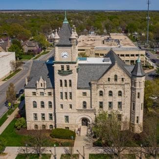
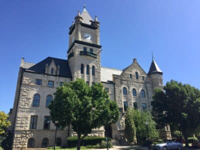
Douglas County plan maps future of Wakarusa River Valley land use
Douglas County’s valley plan covers 15,400 floodplain acres south of Lawrence, shaping where growth, farms, roads and flood protection can fit next.
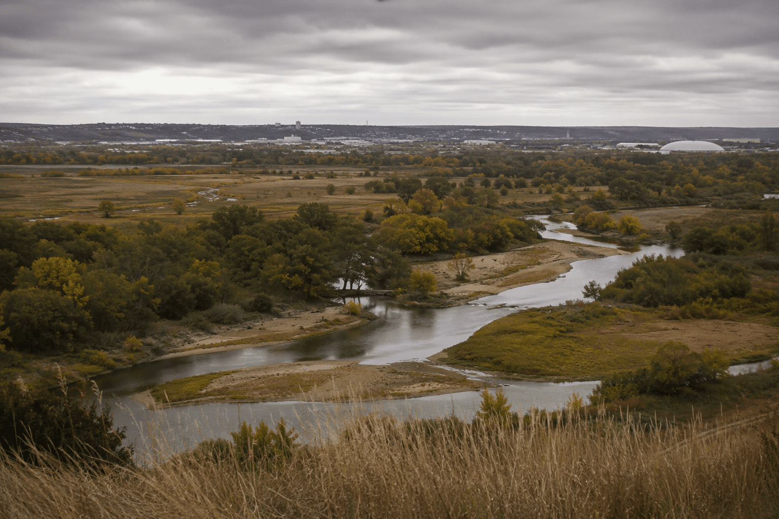
The future of 15,400 acres south of Lawrence is being sketched in Douglas County’s Wakarusa River Valley Vision and Area Plan, a document that will help decide where floodwater can spread, where farms can keep operating and which roads, trails and development proposals can fit into the valley. The study area runs from Clinton Dam to Eudora, putting a long stretch of the Wakarusa River floodplain under one county lens.
What the plan is trying to map
Douglas County’s September 2025 existing-conditions summary says the purpose of the document is to describe current conditions and identify opportunities and constraints tied to the roughly 15,400 acres in the floodplain south of Lawrence. That makes the plan less like a one-time policy statement and more like a working map of the valley’s limits, from places that should stay open to land that could absorb future growth.
The reason the county is treating the corridor this way is simple: the Wakarusa River Valley is where several local priorities overlap in the same low-lying ground. Flood risk, agriculture, habitat, recreation and future development all meet there, so any decision about one piece of land can affect neighboring fields, homes, roads and drainage channels. In practice, that means the plan matters to rural landowners, nearby residents and anyone waiting on county infrastructure decisions that depend on how the valley is classified.
How it fits with Douglas County’s broader open space policy
The valley plan builds on Douglas County’s broader Open Space Plan, which the county adopted in April 2024. That countywide policy defines open space broadly, including grasslands, public parks, farmland, private conserved land, cultural sites, wetlands and floodplain, trails, historic features, old growth forest and other recreational spaces.
That list matters because it shows the county is no longer treating “open space” as just leftover land between subdivisions. In the Wakarusa corridor, the same acres can serve as flood storage, working farmland, wildlife habitat and a place for trails or public access. The county’s valley work is essentially an effort to sort out which of those uses should be protected, which can be connected and which should be kept away from the floodplain.
Why flood history still shapes the corridor
The valley’s planning debate is tied to a long history of changing water flows. The U.S. Army Corps of Engineers began building Clinton Dam in 1972, and the dam impounded 7,000 acres of water in Clinton Lake’s conservation pool, altering the Wakarusa River’s natural streamflow and drainage system. That engineering decision changed the valley’s hydrology in a way that still affects planning today, especially where roads, culverts and development pressure intersect with flood-prone ground.
The flood risk is not theoretical. During the Aug. 1, 2019 flooding in rural Douglas County, 8 to 10 inches of rain fell and emergency personnel used rafts and boats to rescue residents from flooded homes. Events like that give the current plan its urgency, because they show how quickly low-lying land south of Lawrence can turn into an access and safety problem for homeowners, farmers and first responders.
A landscape with deep cultural memory
The Wakarusa River Valley is also carrying a cultural history that stretches beyond modern land use debates. KU Libraries’ Clinton Lake history materials note that rumors about the project circulated in the early 1960s and that many rural landowners feared eminent domain and property loss. The Wakarusa River Valley Heritage Museum says it was established in 1983 to preserve the valley’s history, a reminder that people who lived and worked there saw more than acreage on a map.
That history helps explain why planning in this corridor draws interest from people who care about Indigenous history, family land, farming and public access all at once. A community article in late November described the valley as a working floodplain, wildlife corridor and place of deep cultural meaning, which matches the way many local residents now talk about it. Haskell Indian Nations University has also been part of the conversation, reflecting the broader effort to make sure the valley’s future is not separated from its cultural past.
What public input has already changed
Douglas County opened the plan to public engagement with a Nov. 20, 2025 open house at Douglas County Public Works, 3755 E. 25th St., from 5 p.m. to 7 p.m. with refreshments provided. The county said 90 community members attended, a strong turnout for a land-use planning effort that reaches well beyond the city limits.
People who came voiced concerns about development and shared ideas for access, conservation and honoring Indigenous history. Biohabitats’ project page shows the process also included open houses for Haskell Indian Nations University students and staff, along with public open houses, which put the county’s planning conversation in front of people most likely to live with the results. The mix of attendees suggests the plan is not just about keeping land undeveloped; it is about deciding what kind of access, growth and protection should be allowed in the valley over the next decade.
Why south Lawrence is the real pressure point
The Wakarusa River Valley matters because it sits between growing communities and major transportation links, so every choice inside the corridor has consequences outside it. Farmland that stays in production, floodplain that stays open and conservation land that stays protected all affect how much room remains for future growth south of Lawrence.
That is why the county’s valley plan reads like a map of power as much as a map of land. It will shape who gets to build, who gets to farm, where county infrastructure can be placed and what parts of the Wakarusa corridor remain a buffer between Lawrence’s edge and the river valley itself.
This article was produced by Prism’s automated news system from verified source data, official records, and press releases, then run through automated quality and moderation checks before publishing. The system is built and supervised by the people who set the standards it runs under. Read our full AI policy.
Did this article answer your question?