Douglas County StoryMap spotlights natural landmarks and trails
Douglas County’s Natural Landmarks map turns prairie, forests, and trails into easy weekend outings close to home. Four stops show how preservation now doubles as recreation and small local spending.
Douglas County’s Natural Landmarks StoryMap reads like a ready-made weekend route. Built by the Heritage Conservation Council, it gathers remnant prairie, culturally and historically significant sites, public trails, and recreation areas into one countywide guide that stretches from Baldwin City and Eudora to Lawrence, Lecompton, and the unincorporated parts of the county. The practical effect is simple: residents can plan a low-cost outing without leaving the county, while nearby food stops, fuel stations, and stores still benefit from the traffic.
A map that treats conservation as a public outing
The StoryMap works because it is organized around places people can actually visit, not abstract preservation goals. Douglas County’s own Open Space Plan, published as a public draft in January 2024 and later adopted in April 2024, describes the county as home to Indigenous peoples “from time immemorial,” including the Kaw/Kansa, Wazhazhe, and Shawnee peoples. That framing matters because the map is not just about scenery: it is also about land use, memory, and the places where those histories are still visible.
A county presentation on the final Open Space Plan defined open space broadly, including grasslands, public parks, farmland, private conserved land, cultural sites, wetlands and floodplain, trails, historic features, old growth forest, and other recreational spaces. The map reflects that same logic. It helps a family looking for a picnic stop, a newcomer trying to learn the county’s geography, or a teacher building a lesson around local land use find a place that fits the day.
Douglas County also has a funding tool behind this work. The Natural and Cultural Heritage Grant Program, developed alongside the Heritage Conservation Council in 2011, provides money to organizations for natural and cultural heritage conservation projects. The county has also used an interactive story map to explain the grant program’s history and impact, showing that the mapping effort is part of a broader public strategy, not a one-off digital feature.
Prairie Park Nature Center: an east Lawrence stop with room to breathe
Prairie Park Nature Center is one of the easiest entries on the map for a short, close-to-home outing. The center sits on the east side of Lawrence and spans 100 acres, with wetlands, woodlands, and prairie habitats all in one place. That mix gives it a local-park feel with enough ecological variety to keep repeat visits interesting.
The site has also been tied to active investment. Douglas County and the City of Lawrence supported Prairie Park Nature Center through an Open Space Grant in 2024, and the project included work at nearby Mary’s Lake. That is the kind of improvement that changes how a place functions for everyday use: not just as a preserve, but as a spot where people can walk, sit, and spend an afternoon without planning a bigger trip.
For a weekend itinerary, Prairie Park works especially well because it is in Lawrence, close enough for errands before or after a visit. It is the kind of stop that can pair naturally with lunch, coffee, or a grocery run, which is exactly why a countywide landmarks map has value beyond conservation circles.
Baldwin Woods Forest Preserve: the county’s most significant forest stop
If Prairie Park is the easy neighborhood outing, Baldwin Woods Forest Preserve is the stop that shows how serious Douglas County’s conservation footprint can be. The University of Kansas describes the preserve as containing one of the highest-quality native hardwood forest stands in Kansas. In 2016, the Lawrence Journal-World reported that Baldwin Woods became the first and only USDA Forest Service Forest Legacy project in Kansas, and KU has said the preserve doubled in size.
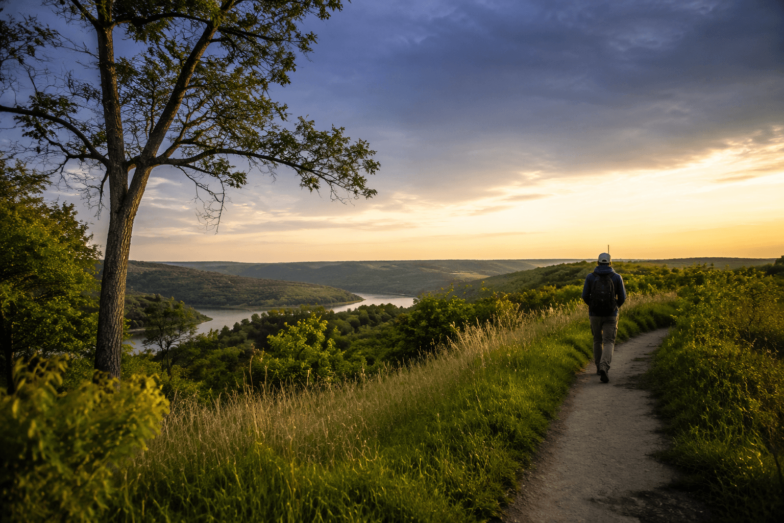
The preserve became even more accessible when KU announced the Rice Woodland Trail grand opening for April 25, 2026. KU identified that trail as the first public trail at Baldwin Woods Forest Preserve, which makes it a milestone for public access as well as for preservation. For county residents, that means a rare chance to visit a protected old-growth forest setting without treating it like a distant destination.
Baldwin Woods is also a strong fit for a half-day trip anchored in Baldwin City. Visitors heading out there can pair the preserve with a meal or a quick stop in town, which helps keep outdoor recreation tied to local commerce rather than outside-the-county spending. The StoryMap makes that kind of trip easier to plan because it places the preserve in the same conversation as the county’s more familiar parks.
Lone Star Lake Park and Chicken Creek Arch Park: easy-to-reach contrast
Lone Star Lake Park offers a different kind of outing: broad water, rural scenery, and room to linger. Douglas County owns and operates the 422-acre park in southwest Douglas County, and the park includes a 185-acre lake nestled within rural farmland. That scale gives it a weekend feel without requiring an overnight trip, and it is one of the clearest examples in the StoryMap of how county land can function as both preserved space and public recreation.
Chicken Creek Arch Park brings a smaller, more distinctive stop into the mix. The county park is tied to the historic Chicken Creek Bridge, a stone arch bridge built in 1913 by Benjamin Franklin Metsker and Ike Babb. eBird also lists Chicken Creek Arch Park among Douglas County birding hotspots, which makes it a useful stop for anyone looking for a short outdoor visit that does not require a major hike or a full day away.
Together, those two sites show the range the StoryMap is trying to capture. Lone Star Lake Park is the wide-open county outing. Chicken Creek Arch Park is the compact, history-rich stop that can fit into a loop between errands or a drive through the southern part of the county.
What the map does for everyday Douglas County life
The value of the StoryMap is that it turns conservation into something local people can use this weekend. Instead of separating ecology, history, and recreation into different categories, Douglas County presents them as parts of the same public landscape. That gives families, newcomers, and longtime residents a practical guide to places that are close, affordable, and distinct enough to reward repeat visits.
It also spreads activity across the county. Baldwin City, Eudora, Lawrence, Lecompton, and the unincorporated areas all gain from a map that encourages short trips rather than long drives. In that sense, the StoryMap is not just an inventory of protected land. It is a county guide to places where preservation, access, and small-scale local spending now meet on the same road.
This article was produced by Prism’s automated news system from verified source data, official records, and press releases, then run through automated quality and moderation checks before publishing. The system is built and supervised by the people who set the standards it runs under. Read our full AI policy.
Did this article answer your question?