Flash flood warning issued for Lawrence, north central Douglas County
Heavy rain had already dropped up to 2.5 inches in north central Douglas County, with flash flooding possible through 12:30 a.m. in Lawrence, KU and other low-lying areas.
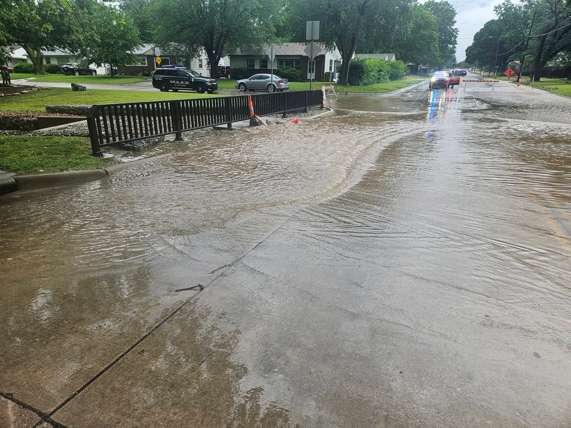
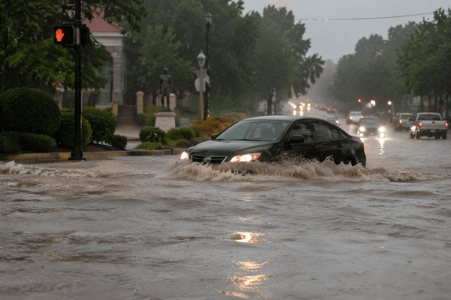
Flash flooding was already underway or expected to begin shortly in Lawrence and north central Douglas County late Sunday, with the National Weather Service warning that highways, streets, underpasses and other low-lying spots could take on water before 12:30 a.m. Monday. The warning covered the Lawrence area after Doppler radar showed thunderstorms producing heavy rain across the region.
By 9:39 p.m. Sunday, the weather service in Topeka said between 1.5 and 2.5 inches of rain had already fallen in the warned area, with another half-inch to 1 inch still possible. That added rain threatened small creeks and streams, urban areas, highways, streets, underpasses and other poor-drainage locations across Lawrence, north central Douglas County and the University of Kansas area.
Conditions at Lawrence Municipal Airport showed just how saturated the evening had become: light rain, fog and mist, 73 degrees, 96% humidity and a south wind at 8 mph at 9:52 p.m. Sunday. The Lawrence forecast page still showed the flash flood warning active until 12:30 a.m. Monday.
Drivers heading through Lawrence overnight faced the greatest risk on routes that collect water quickly, especially underpasses, street dips and other low spots. With more rain possible before dawn, the safest move was to avoid flooded roadways and give streams, intersections and drainage-prone corridors extra room until the warning expired.
The warning came as Douglas County and Lawrence were already dealing with a wet stretch that had pushed state officials to act. Gov. Laura Kelly issued a state of disaster emergency proclamation at 7:31 p.m. June 4 because of flooding from recent heavy rains, saying the declaration opened the door to state assistance for affected areas. State officials said multiple river systems were flooding or were forecast to reach moderate flooding after the June 3-4 storms.
Lawrence has seen the cost of flooding before. The city says its worst flood came in 1951 and caused more than $3 million in damage, followed by another major flood in 1993 that still inflicted $1.2 million in losses despite levees and reservoirs helping limit the damage. That history underscored the risk as another round of water moved through town.
Forecasts called for a 20% chance of showers and thunderstorms before 9 a.m. Monday, with a high near 86. Tuesday was expected to turn hotter, with a high near 91 and heat index values as high as 105. KU researchers’ Kansas Flood Mapping Dashboard, which updates every two hours using National Weather Service and U.S. Geological Survey stream gauge data, reflected how quickly flooding can change across Kansas.
This article was produced by Prism’s automated news system from verified source data, official records, and press releases, then run through automated quality and moderation checks before publishing. The system is built and supervised by the people who set the standards it runs under. Read our full AI policy.
Did this article answer your question?