Forsyth County under severe thunderstorm warning, flood watch amid Arthur rains
Heavy rain from Arthur put Forsyth County under a flood watch through Saturday morning, with 2 to 4 inches of rain and 35 mph gusts expected.

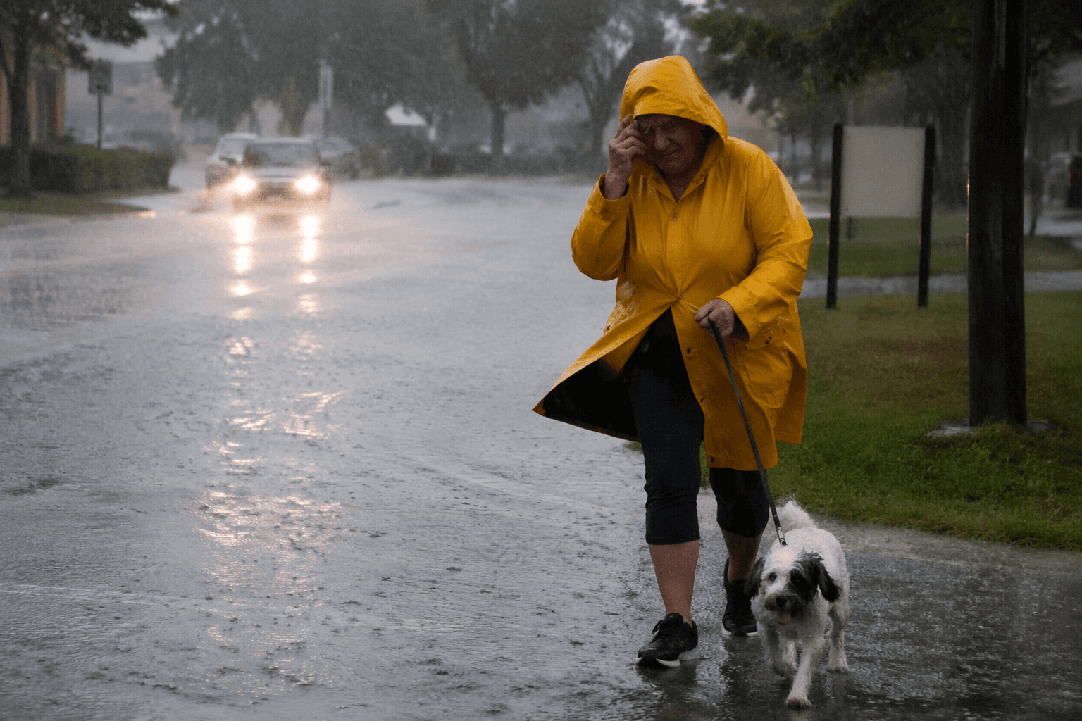
Heavy rain from the remnants of Tropical Storm Arthur pushed Forsyth County under a severe thunderstorm warning and a Flood Watch, with forecasters calling for 2 to 4 inches of rain and locally higher totals before the system moved out. The National Weather Service office in Peachtree City issued the severe thunderstorm warning for Forsyth County until 6:30 p.m. Thursday, and local officials monitored the risk of flooding and outages as the rain bands moved across North Georgia.
Forecasters said multiple rounds of heavy rainfall were expected across north and central Georgia through Friday, raising the chance of localized flash flooding. The weather service also said wind gusts could reach 35 mph outside thunderstorms, and that already wet soils could make it easier for trees to topple and limbs to come down. In practical terms, that increased the odds of scattered power outages and isolated road problems as the rain continued.
The broader metro forecast pointed to a more dangerous storm threat south and west of Forsyth County. WSB-TV reported that Arthur’s remnants could bring damaging wind gusts above 60 mph and isolated brief tornadoes across the Atlanta metro, while the flood risk was expected to be highest south of I-20. For Forsyth County, the main concern remained repeated rain bands that could quickly overwhelm drains, low spots and small creeks.
Forsyth County was included in the Flood Watch for portions of north and central Georgia that was set to remain in effect until 2 a.m. Saturday, June 20, 2026. The county’s warning network included Alert Forsyth, 27 outdoor severe weather sirens, three active WeatherSTEM sites, NOAA Weather Radios and wireless emergency alerts. As the storm system lingered, those tools were the county’s main line of notice for residents trying to track when the heaviest rain would hit and whether conditions would worsen before the watch expired.
This article was produced by Prism’s automated news system from verified source data, official records, and press releases, then run through automated quality and moderation checks before publishing. The system is built and supervised by the people who set the standards it runs under. Read our full AI policy.
Did this article answer your question?