Goochland explains technology zone rules amid pending legal challenge
Goochland’s five-mile technology corridor along Route 288 is now a legal flashpoint, with new rules meant to steer growth while shielding nearby neighborhoods.
Goochland County has drawn a five-mile line along Route 288 for its next big growth corridor, and now it is using its technology zone page to explain how the rules work while a court challenge moves ahead.
The county’s message is straightforward: the Technology Overlay District and Technology Zone are meant to encourage high-value economic development without turning eastern Goochland into an uncontrolled sprawl of industrial-scale uses. County materials say the goal is to balance stronger tax revenue and business growth with rural character, nearby neighborhoods, and the county’s broader land-use plan, which has long pointed to the eastern part of the county as the best place for business and technology growth.
How the county built the district
This was not adopted in a single meeting. Goochland first introduced the ordinances to the public on July 7, 2025, then spent months revising the package after community engagement, homeowner association meetings, town halls, and two nights of Planning Commission hearings. The county says it held two community meetings and two town hall meetings after the initial proposal, while the Planning Commission heard public comment on September 18 and September 25 before voting 3-2 to recommend approval.
The county then released revised proposed ordinances and maps on October 21, 2025, ahead of a Board of Supervisors hearing on November 6. That final meeting ran past midnight and drew more than 80 speakers. The Board ultimately approved the package 4-1, making the technology district one of the county’s most consequential land-use decisions in years.
The county says that process mattered because the final standards were strengthened in response to public questions and comments. In its own explanation, the county frames the district as a way to concentrate future growth where leaders believe it belongs, rather than letting it spread across neighborhoods and rural parcels outside the eastern growth area.
What the overlay changes
The approved package does more than draw a map. It adds a zoning overlay and a technology zone framework, amends parking standards for data centers, and adds definitions for a small modular nuclear reactor facility, a natural gas peaking plant, and a utility generating station. County materials also say the revised version removed any by-right use for energy generation, including small modular reactors and gas peaker plants.

That detail matters because it changes how future applicants would move through the county’s review process. The overlay adds setbacks, noise restrictions, and other standards intended to reduce impacts from future high-technology businesses, especially large projects that may be drawn to the corridor. The county says the ordinance does not approve any specific project; instead, it creates expectations and standards that future applicants still must meet alongside federal, state, and local requirements.
There is also an important flexibility built into the package. If a use is already allowed by the underlying zoning and is not using Technology Zone incentives, the applicant may choose either the underlying zoning standards or the overlay standards before plan-of-development approval. In practical terms, that means the district is both a guide and a gatekeeper: it directs growth, but it also sets a higher bar for projects that want the zone’s benefits.
Why Route 288 is the center of gravity
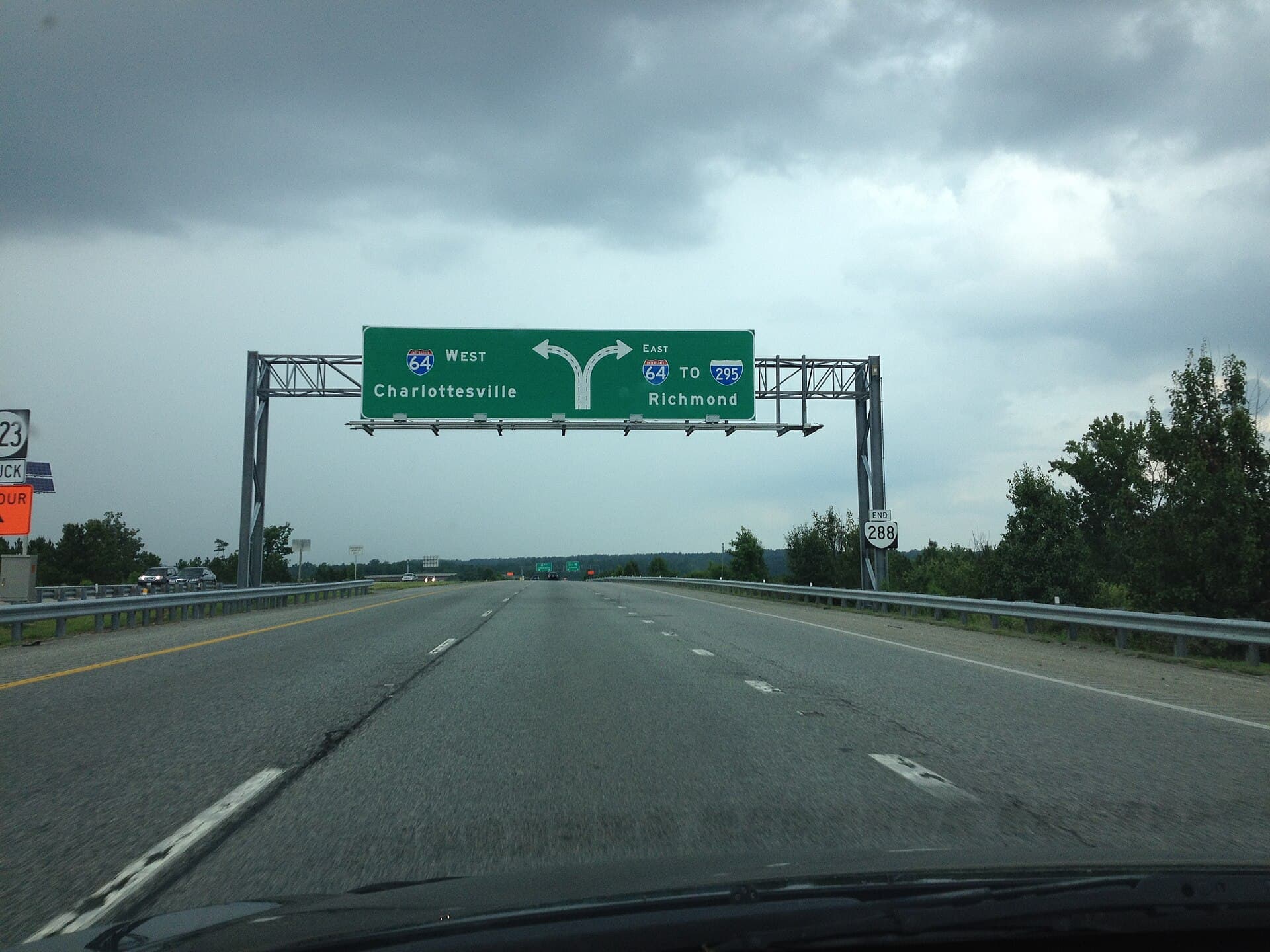
The approved district spans about five miles along Route 288, from Interstate 64 south to Patterson Avenue, adjacent to Hockett Road. That corridor is now the county’s clearest blueprint for where major technology-related investment could land first, especially if future projects seek large parcels with road access and utility capacity.
The location is not accidental. County leaders say eastern Goochland has already been identified in the 2035 Comprehensive Plan as the best place for business and technology growth. That gives the district a planning rationale beyond a single project, and it explains why the county treats the corridor as a designated growth area rather than an open-ended invitation to develop anywhere.
For nearby roads and neighborhoods, the stakes are obvious. A corridor built for data centers or similar high-revenue uses can change traffic patterns along Route 288, increase pressure near the Interstate 64 connection, and push demand for utility upgrades, site access improvements, and possibly new public spending tied to roads or service capacity. Even before any specific project appears, the overlay signals where land-use pressure is most likely to intensify.
Why the fight continues in court
The controversy did not end with the Board vote. On December 4, 2025, four property owners filed suit in Goochland Circuit Court challenging the county’s adoption of the Technology Overlay District and Technology Zone. The plaintiffs are identified in reporting and court filings as Cynthia Haas, Peggy Knisley, Virginia H. Reed, and Gail A. Minnick.
By February 2026, county supervisors had approved $250,000 to retain outside counsel to defend the case. That spending shows the county is treating the lawsuit as a major legal and policy test, not a minor zoning dispute. The county says it stands behind the ordinance package and the planning choices behind it.
Opponents during the fall hearings argued that the district could alter rural character, add traffic, and place new burdens on the environment and nearby neighborhoods. Supporters and county leaders countered that the district is a way to diversify the tax base, remain competitive regionally, and steer high-revenue technology uses into a designated area rather than scattering them across the county.
What residents should watch next
The next phase will not be decided by the map alone. The real test comes when the county starts seeing actual proposals, because each one will have to fit the overlay standards, the underlying zoning, and any state or federal review that applies.
For residents near the Route 288 corridor, the most important questions are likely to be practical ones: how much traffic a project would generate, how much utility infrastructure would be required, how the county would handle noise and setbacks, and whether the promised tax base would offset the strain on roads and services. For Goochland as a whole, the district is now the county’s clearest statement that eastern Goochland is where the next wave of growth is supposed to land, even as the legal fight asks whether the county drew that line too far, too fast, or with enough protection for the people living just beyond it.
This article was produced by Prism’s automated news system from verified source data, official records, and press releases, then run through automated quality and moderation checks before publishing. The system is built and supervised by the people who set the standards it runs under. Read our full AI policy.
Did this article answer your question?
