Heavy rain hits Grand Traverse County, Flood Watch continues through Wednesday
1.34 inches fell at Cherry Capital Airport as a Flood Watch held through Wednesday, with ponding, runoff and river rises possible across Grand Traverse County.
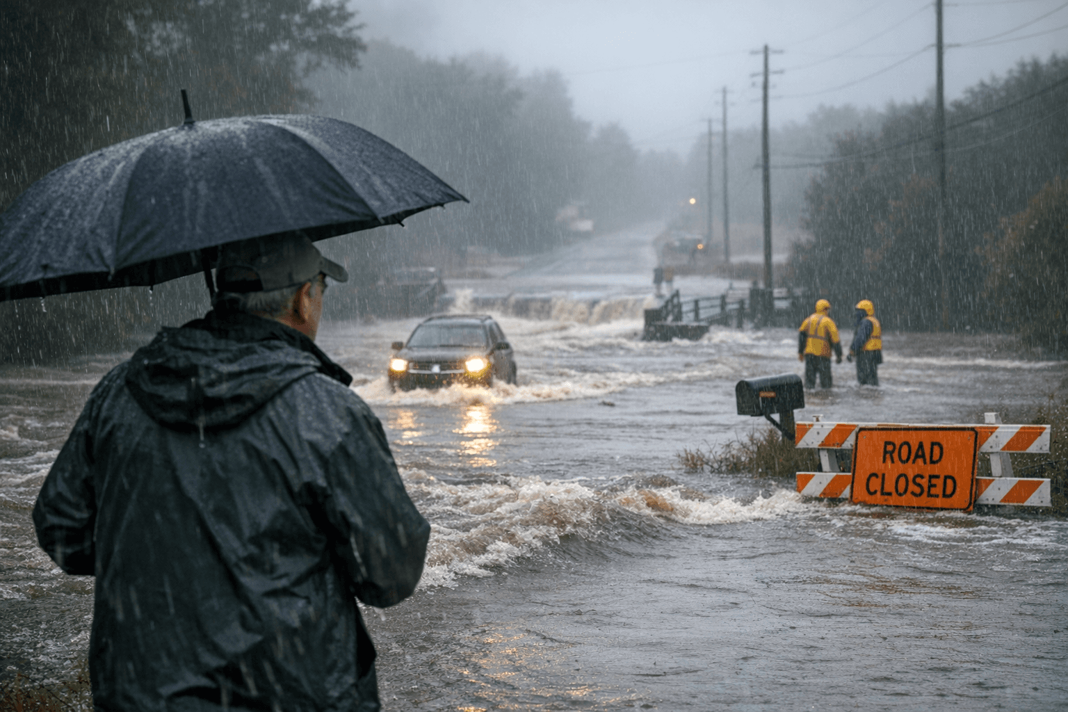
1.34 inches of rain fell at Cherry Capital Airport southeast of Traverse City, and that was enough to put Grand Traverse County back on alert for ponding, drainage trouble and soggy commutes as the National Weather Service kept a Flood Watch in effect through Wednesday morning.
The National Weather Service’s Gaylord office said periods of rain would continue through tonight, with more showers and thunderstorms returning Monday night through Tuesday night. In Traverse City, forecasters said heavy rain was expected at times through Wednesday, and the watch warned that rain and snowmelt could push water out of banks and into rivers, creeks, streams, low-lying spots and ice-covered inland lakes.
For April, 1.34 inches is the kind of soaking that can move a drainage system from handling runoff to backing it up, especially if the next bands of rain arrive before the ground can take it in. The weather service’s warning centered on excessive runoff, which can turn ordinary trouble spots into standing water, especially where pavement, ditches and frozen ground already slow drainage.
Grand Traverse County has seen how localized the rain can become. On May 28, 2020, Munson Hospital on the west side of Traverse City measured 3.12 inches in 24 hours, while Cherry Capital Airport, about 3.2 miles to the east, recorded only 0.71 inches. The weather service said flash flooding hit parts of western Grand Traverse County during that event, a sharp reminder that one side of town can take a much harder hit than the other.
That is why the next round of rain matters as much on neighborhood streets as it does on rivers. Low-lying roads, curbside drains, stream crossings and the west side of Traverse City are the places to watch if heavier bands stall or repeat, especially where snowmelt is feeding extra runoff. With heavy rain still expected at times through Wednesday, Grand Traverse County could see more nuisance flooding before the watch ends at 8 a.m. Wednesday, April 15.
This article was produced by Prism’s automated news system from verified source data, official records, and press releases, then run through automated quality and moderation checks before publishing. The system is built and supervised by the people who set the standards it runs under. Read our full AI policy.
Did this article answer your question?


